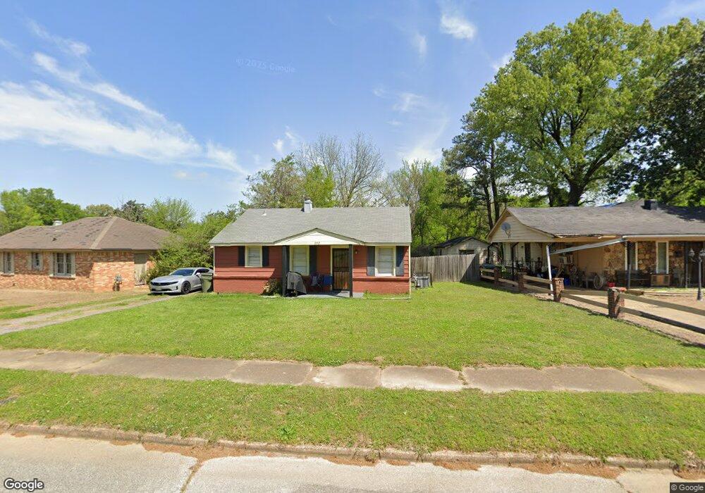
292 Radar Rd Memphis, TN 38109
Westwood NeighborhoodEstimated Value: $80,000 - $95,000
3
Beds
1
Bath
768
Sq Ft
$115/Sq Ft
Est. Value
About This Home
This home is located at 292 Radar Rd, Memphis, TN 38109 and is currently estimated at $88,367, approximately $115 per square foot. 292 Radar Rd is a home located in Shelby County with nearby schools including Ford Road Elementary School, Chickasaw Middle School, and Mitchell High School.
Ownership History
Date
Name
Owned For
Owner Type
Purchase Details
Closed on
Nov 27, 2018
Sold by
Mid South Homebuyers Gp
Bought by
Miguel Gloria and Miguel Rogelio
Current Estimated Value
Home Financials for this Owner
Home Financials are based on the most recent Mortgage that was taken out on this home.
Original Mortgage
$46,400
Outstanding Balance
$40,879
Interest Rate
4.8%
Mortgage Type
New Conventional
Estimated Equity
$47,488
Purchase Details
Closed on
Sep 4, 2018
Sold by
Daniels Josephine and Harris Robert Eugene
Bought by
Mid South Homebuyers Gp
Purchase Details
Closed on
Jan 9, 2018
Sold by
Daniels Josephine
Bought by
Daniels Josephine and Harris Robert Eugene
Create a Home Valuation Report for This Property
The Home Valuation Report is an in-depth analysis detailing your home's value as well as a comparison with similar homes in the area
Home Values in the Area
Average Home Value in this Area
Purchase History
| Date | Buyer | Sale Price | Title Company |
|---|---|---|---|
| Miguel Gloria | $61,000 | Saddle Creek Title Llc | |
| Mid South Homebuyers Gp | $10,000 | Saddle Creek Title Llc | |
| Daniels Josephine | -- | None Available |
Source: Public Records
Mortgage History
| Date | Status | Borrower | Loan Amount |
|---|---|---|---|
| Open | Miguel Gloria | $46,400 | |
| Closed | Mid South Homebuyers Gp | $0 |
Source: Public Records
Tax History Compared to Growth
Tax History
| Year | Tax Paid | Tax Assessment Tax Assessment Total Assessment is a certain percentage of the fair market value that is determined by local assessors to be the total taxable value of land and additions on the property. | Land | Improvement |
|---|---|---|---|---|
| 2025 | $520 | $20,475 | $1,875 | $18,600 |
| 2024 | $520 | $15,350 | $1,350 | $14,000 |
| 2023 | $935 | $15,350 | $1,350 | $14,000 |
| 2022 | $935 | $15,350 | $1,350 | $14,000 |
| 2021 | $530 | $15,350 | $1,350 | $14,000 |
| 2020 | $647 | $8,925 | $1,350 | $7,575 |
| 2019 | $207 | $8,925 | $1,350 | $7,575 |
| 2018 | $207 | $6,475 | $1,350 | $5,125 |
| 2017 | $212 | $6,475 | $1,350 | $5,125 |
| 2016 | $297 | $6,800 | $0 | $0 |
| 2014 | $297 | $6,800 | $0 | $0 |
Source: Public Records
Map
Nearby Homes
- 286 Radar Rd
- 300 Radar Rd
- 278 Radar Rd
- 3164 Rochester Rd
- 3170 Rochester Rd
- 3160 Rochester Rd
- 293 Radar Rd
- 3173 Gilmore Rd
- 285 Radar Rd
- 3181 Gilmore Rd
- 3193 Salter Rd
- 279 Radar Rd
- 3154 Rochester Rd
- 3161 Gilmore Rd
- 3182 Rochester Rd
- 3206 Salter Rd
- 3195 Gilmore Rd
- 3155 Gilmore Rd
- 3148 Rochester Rd
- 3205 Salter Rd