292 Thompson Rd Conway, MA 01341
Estimated Value: $429,070 - $731,000
4
Beds
1
Bath
1,634
Sq Ft
$347/Sq Ft
Est. Value
About This Home
This home is located at 292 Thompson Rd, Conway, MA 01341 and is currently estimated at $566,768, approximately $346 per square foot. 292 Thompson Rd is a home located in Franklin County with nearby schools including Frontier Regional School.
Ownership History
Date
Name
Owned For
Owner Type
Purchase Details
Closed on
Sep 1, 2000
Sold by
Friedman Thomas H and Lichtenberg Julie
Bought by
Gibson Ann Taylor and Cheatham Anne W
Current Estimated Value
Home Financials for this Owner
Home Financials are based on the most recent Mortgage that was taken out on this home.
Original Mortgage
$168,000
Outstanding Balance
$61,490
Interest Rate
8.16%
Mortgage Type
Purchase Money Mortgage
Estimated Equity
$505,278
Purchase Details
Closed on
Aug 28, 1995
Sold by
Meunier Mark W and Meunier Karen L
Bought by
Friedman Thomas H and Lichtenberg Julie
Home Financials for this Owner
Home Financials are based on the most recent Mortgage that was taken out on this home.
Original Mortgage
$122,400
Interest Rate
7.32%
Mortgage Type
Purchase Money Mortgage
Create a Home Valuation Report for This Property
The Home Valuation Report is an in-depth analysis detailing your home's value as well as a comparison with similar homes in the area
Home Values in the Area
Average Home Value in this Area
Purchase History
We collect this data history from publicly available records. To have your information removed, we recommend requesting removal directly through your county’s website.
| Date | Buyer | Sale Price | Title Company |
|---|---|---|---|
| Gibson Ann Taylor | $211,000 | -- | |
| Friedman Thomas H | $153,000 | -- |
Source: Public Records
Mortgage History
We collect this data history from publicly available records. To have your information removed, we recommend requesting removal directly through your county’s website.
| Date | Status | Borrower | Loan Amount |
|---|---|---|---|
| Open | Friedman Thomas H | $168,000 | |
| Previous Owner | Friedman Thomas H | $122,400 |
Source: Public Records
Tax History
| Year | Tax Paid | Tax Assessment Tax Assessment Total Assessment is a certain percentage of the fair market value that is determined by local assessors to be the total taxable value of land and additions on the property. | Land | Improvement |
|---|---|---|---|---|
| 2025 | $5,416 | $375,100 | $115,500 | $259,600 |
| 2024 | $5,274 | $321,600 | $104,800 | $216,800 |
| 2023 | $5,515 | $321,600 | $104,800 | $216,800 |
| 2022 | $5,333 | $297,100 | $98,700 | $198,400 |
| 2021 | $5,258 | $280,700 | $94,200 | $186,500 |
| 2020 | $5,157 | $274,900 | $93,700 | $181,200 |
| 2019 | $5,127 | $274,900 | $93,700 | $181,200 |
| 2018 | $5,010 | $270,800 | $93,700 | $177,100 |
| 2017 | $212 | $334,400 | $155,300 | $179,100 |
| 2016 | $4,379 | $262,500 | $87,000 | $175,500 |
| 2015 | $4,245 | $262,500 | $87,000 | $175,500 |
Source: Public Records
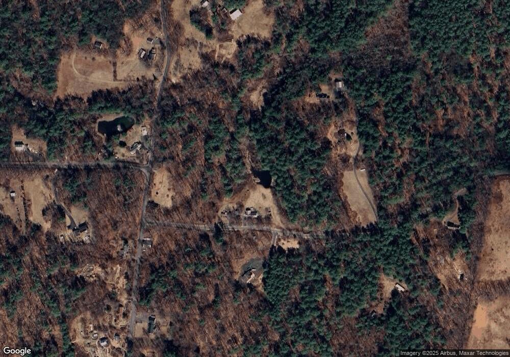
Map
Nearby Homes
- 2930 Shelburne Falls Rd
- 0 N Bear River Rd Unit 73485981
- 87 Ashfield Rd
- 11 Bray Rd
- 0 Maple St
- 2 Franklin St
- 10 Deerfield Ave Unit 2
- 14 South St
- 193 Norton Hill Rd
- 3 Hog Hollow Rd
- 1230 Main Poland Rd
- 139 Main St
- Lot 60 Apple Valley Rd
- 240 Upper Rd
- 2151 Route 2
- 6 Duncan Dr Unit B
- 2155 Massachusetts 2
- 70 Stillwater Rd Unit B
- 271 Lower Rd
- TBD Lower Rd
- 259 Thompson Rd
- 434 S Shirkshire Rd
- 212 Thompson Rd
- 14 Jones Corner Rd
- 214 Thompson Rd
- 370 S Shirkshire Rd
- 411 S Shirkshire Rd
- 377 S Shirkshire Rd
- 221 Thompson Rd
- 53 Jones Corner Rd
- 348 S Shirkshire Rd
- 527 S Shirkshire Rd
- 351 S Shirkshire Rd
- LOT A S Shirkshire Rd
- LOT 1 S Shirkshire Rd
- 0 S Shirkshire Rd
- 550 S Shirkshire Rd
- 161 Thompson Rd
- 161 Thompson Rd
- 324 S Shirkshire Rd
Your Personal Tour Guide
Ask me questions while you tour the home.