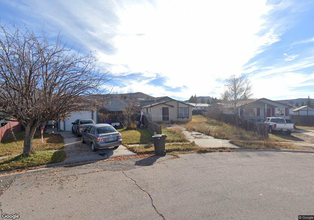
292 Tomahawk Dr Evanston, WY 82930
Estimated Value: $181,000 - $248,232
Studio
1
Bath
1,056
Sq Ft
$203/Sq Ft
Est. Value
About This Home
This home is located at 292 Tomahawk Dr, Evanston, WY 82930 and is currently estimated at $214,558, approximately $203 per square foot. 292 Tomahawk Dr is a home located in Uinta County with nearby schools including Evanston High School and Evanston Child Development Center.
Ownership History
Date
Name
Owned For
Owner Type
Purchase Details
Closed on
Aug 13, 2018
Sold by
Bye Arthur C
Bought by
Bye Maxine C
Current Estimated Value
Purchase Details
Closed on
Jul 8, 2005
Sold by
Bye Arthur C and Nkoy Maxine C
Bought by
Bye Arthur and Bye Maxine C
Home Financials for this Owner
Home Financials are based on the most recent Mortgage that was taken out on this home.
Original Mortgage
$52,000
Interest Rate
5.64%
Mortgage Type
Commercial
Create a Home Valuation Report for This Property
The Home Valuation Report is an in-depth analysis detailing your home's value as well as a comparison with similar homes in the area
Purchase History
| Date | Buyer | Sale Price | Title Company |
|---|---|---|---|
| Bye Maxine C | -- | None Available | |
| Bye Arthur | -- | None Available | |
| Bye Arthur | -- | None Available |
Source: Public Records
Mortgage History
| Date | Status | Borrower | Loan Amount |
|---|---|---|---|
| Previous Owner | Bye Arthur | $52,000 |
Source: Public Records
Tax History
| Year | Tax Paid | Tax Assessment Tax Assessment Total Assessment is a certain percentage of the fair market value that is determined by local assessors to be the total taxable value of land and additions on the property. | Land | Improvement |
|---|---|---|---|---|
| 2025 | $733 | $5,541 | $1,683 | $3,858 |
| 2024 | $733 | $10,785 | $3,366 | $7,419 |
| 2023 | $713 | $10,539 | $2,137 | $8,402 |
| 2022 | $687 | $10,091 | $2,021 | $8,070 |
| 2021 | $631 | $9,258 | $2,021 | $7,237 |
| 2020 | $600 | $8,808 | $2,021 | $6,787 |
| 2019 | $470 | $6,905 | $2,021 | $4,884 |
| 2018 | $92 | $7,584 | $2,021 | $5,563 |
| 2017 | $498 | $7,334 | $1,985 | $5,349 |
| 2016 | $418 | $6,143 | $1,985 | $4,158 |
| 2015 | -- | $6,486 | $1,985 | $4,501 |
| 2014 | -- | $6,356 | $1,985 | $4,371 |
| 2010 | -- | $8,585 | $0 | $0 |
Source: Public Records
Map
Nearby Homes
- 161 Lodgepole Dr
- 91 Lodgepole Dr
- 233 Tomahawk Dr
- 310 Ottley Dr
- 313 Wright Way
- .24 acres Davis Dr
- 325 Davis Dr
- 3893 Yellow Creek Rd
- 3925 Yellow Creek Rd
- 3827 Yellow Creek Rd
- 3861 Yellow Creek Rd
- 127 Red Hawk Ave
- 412 Herschler Ave
- 479 Twin Ridge Ave
- 342 Alpine Cir
- 338 Alpine Cir
- 223 Barber Ave
- 221 Barber Ave
- 156 Simpson Ave
- 146 Barrett Ave
- 296 Tomahawk Dr
- 296 Tomahawk Dr Unit Yellow Creek
- 140 Lodgepole Dr
- 136 Lodgepole Dr
- 284 Tomahawk Dr
- 144 Lodgepole Dr
- 280 Tomahawk Dr
- 132 Lodgepole Dr
- 276 Tomahawk Dr
- 166 Lodgepole Dr
- 158 Lodgepole Dr
- 178 Lodgepole Dr
- 128 Lodgepole Dr
- 257 Tomahawk Dr
- 154 Lodgepole Dr
- 268 Tomahawk Dr
- 182 Lodgepole Dr
- 124 Lodgepole Dr
- 129 Lodgepole Dr
- 186 Lodgepole Dr
Your Personal Tour Guide
Ask me questions while you tour the home.