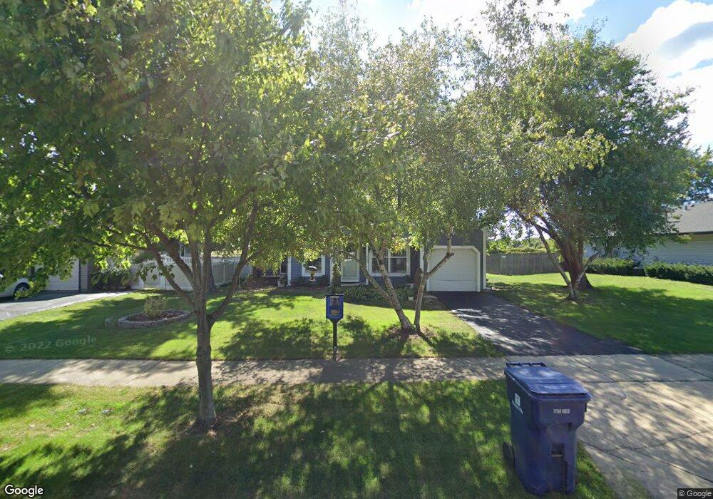
292 Westbrook Cir Naperville, IL 60565
Old Farm NeighborhoodEstimated Value: $371,494 - $407,000
3
Beds
1
Bath
1,128
Sq Ft
$350/Sq Ft
Est. Value
About This Home
This home is located at 292 Westbrook Cir, Naperville, IL 60565 and is currently estimated at $395,124, approximately $350 per square foot. 292 Westbrook Cir is a home located in Will County with nearby schools including Kingsley Elementary School, Lincoln Jr. High School, and Naperville Central High School.
Ownership History
Date
Name
Owned For
Owner Type
Purchase Details
Closed on
Oct 18, 1998
Sold by
Mack Andrew P and Mack Debra A
Bought by
Miller Kevin W and Miller Heidi J
Current Estimated Value
Home Financials for this Owner
Home Financials are based on the most recent Mortgage that was taken out on this home.
Original Mortgage
$134,910
Outstanding Balance
$28,977
Interest Rate
6.68%
Estimated Equity
$366,147
Create a Home Valuation Report for This Property
The Home Valuation Report is an in-depth analysis detailing your home's value as well as a comparison with similar homes in the area
Home Values in the Area
Average Home Value in this Area
Purchase History
| Date | Buyer | Sale Price | Title Company |
|---|---|---|---|
| Miller Kevin W | $150,000 | -- |
Source: Public Records
Mortgage History
| Date | Status | Borrower | Loan Amount |
|---|---|---|---|
| Open | Miller Kevin W | $134,910 |
Source: Public Records
Tax History
| Year | Tax Paid | Tax Assessment Tax Assessment Total Assessment is a certain percentage of the fair market value that is determined by local assessors to be the total taxable value of land and additions on the property. | Land | Improvement |
|---|---|---|---|---|
| 2024 | $6,478 | $108,405 | $33,648 | $74,757 |
| 2023 | $6,478 | $97,539 | $30,275 | $67,264 |
| 2022 | $5,525 | $86,320 | $27,294 | $59,026 |
| 2021 | $5,142 | $80,710 | $25,520 | $55,190 |
| 2020 | $4,941 | $78,056 | $24,681 | $53,375 |
| 2019 | $4,761 | $74,339 | $23,506 | $50,833 |
| 2018 | $4,534 | $71,151 | $22,498 | $48,653 |
| 2017 | $4,353 | $67,442 | $21,325 | $46,117 |
| 2016 | $4,193 | $64,200 | $20,300 | $43,900 |
| 2015 | $4,351 | $61,600 | $19,500 | $42,100 |
| 2014 | $4,351 | $61,600 | $19,500 | $42,100 |
| 2013 | $4,351 | $64,200 | $20,300 | $43,900 |
Source: Public Records
Map
Nearby Homes
- 364 Avena Cir
- 352 Danbury Dr
- 2307 Woodview Ln
- 2308 Modaff Rd
- 2734 Alyssa Dr
- 2221 Woodland Cir
- 203 Settlers Ct
- 484 Blodgett Ct
- 18 Newgate Ave
- 51 Ford Ln
- 388 Du Pahze St
- 36 Oak Bluff Ct
- 44 Oak Bluff Ct
- 96 Midhurst Ct Unit 201
- 97 Midhurst Ct Unit 202
- 15 Pinnacle Ct
- 95 Midhurst Ct Unit 101
- 2726 Seiler Dr Unit 2
- 2206 Gleneagles Dr
- 34 Glencoe Ct Unit 202B
- 296 Westbrook Cir
- 288 Westbrook Cir
- 300 Westbrook Cir
- 291 Westbrook Cir
- 287 Westbrook Cir
- 295 Westbrook Cir
- 280 Westbrook Cir
- 283 Westbrook Cir
- 299 Westbrook Cir
- 276 Westbrook Cir
- 279 Westbrook Cir
- 2234 Wentworth Ct
- 304 Westbrook Cir
- 2230 Wentworth Ct
- 2235 Wentworth Ct
- 272 Westbrook Cir
- 2208 Waynesburg St
- 303 Westbrook Cir
- 275 Westbrook Cir
- 308 Westbrook Cir
Your Personal Tour Guide
Ask me questions while you tour the home.