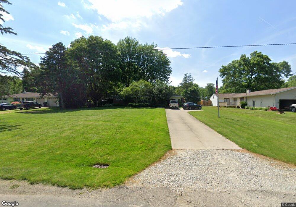
292 Wilson Rd Wadsworth, OH 44281
Estimated Value: $192,000 - $240,000
3
Beds
6
Baths
1,056
Sq Ft
$202/Sq Ft
Est. Value
About This Home
This home is located at 292 Wilson Rd, Wadsworth, OH 44281 and is currently estimated at $213,235, approximately $201 per square foot. 292 Wilson Rd is a home located in Medina County with nearby schools including Overlook Elementary School, Wadsworth Middle School, and Central Intermediate School.
Ownership History
Date
Name
Owned For
Owner Type
Purchase Details
Closed on
Aug 19, 2025
Sold by
Kisor Jeffrey T and Kisor Nicole V
Bought by
Kisor Family Living Trust and Kisor
Current Estimated Value
Purchase Details
Closed on
Jun 1, 1995
Sold by
O'Connor Ethel R
Bought by
Kisor Jeffrey T and Kisor Nicole V
Home Financials for this Owner
Home Financials are based on the most recent Mortgage that was taken out on this home.
Original Mortgage
$87,372
Interest Rate
8.26%
Mortgage Type
FHA
Create a Home Valuation Report for This Property
The Home Valuation Report is an in-depth analysis detailing your home's value as well as a comparison with similar homes in the area
Home Values in the Area
Average Home Value in this Area
Purchase History
| Date | Buyer | Sale Price | Title Company |
|---|---|---|---|
| Kisor Family Living Trust | -- | None Listed On Document | |
| Kisor Jeffrey T | $87,500 | -- |
Source: Public Records
Mortgage History
| Date | Status | Borrower | Loan Amount |
|---|---|---|---|
| Previous Owner | Kisor Jeffrey T | $87,372 |
Source: Public Records
Tax History
| Year | Tax Paid | Tax Assessment Tax Assessment Total Assessment is a certain percentage of the fair market value that is determined by local assessors to be the total taxable value of land and additions on the property. | Land | Improvement |
|---|---|---|---|---|
| 2024 | $2,595 | $48,930 | $19,090 | $29,840 |
| 2023 | $2,128 | $48,930 | $19,090 | $29,840 |
| 2022 | $2,135 | $48,930 | $19,090 | $29,840 |
| 2021 | $2,116 | $40,780 | $15,910 | $24,870 |
| 2020 | $1,925 | $40,780 | $15,910 | $24,870 |
| 2019 | $1,928 | $40,780 | $15,910 | $24,870 |
| 2018 | $1,740 | $34,530 | $16,040 | $18,490 |
| 2017 | $1,741 | $34,530 | $16,040 | $18,490 |
| 2016 | $1,775 | $34,530 | $16,040 | $18,490 |
| 2015 | $1,662 | $30,830 | $14,320 | $16,510 |
| 2014 | $1,571 | $30,830 | $14,320 | $16,510 |
| 2013 | $1,573 | $30,830 | $14,320 | $16,510 |
Source: Public Records
Map
Nearby Homes
- 751 Archwood Rd
- 228 Hartman Rd
- 295 High Point Dr
- 264 Windfall Ln
- 902 Devonwood Dr
- 910 Devonwood Dr
- 285 Tanglewood Trail
- 280 Tanglewood Trail
- 677 Sally Cir
- 695 Hillcrest Dr
- 198 Summit St
- 1315 Fieldcrest Dr Unit 90
- 404 Shannon Dr
- 349 Elm St
- 743 Bent Creek Dr
- V/L Hartman Rd
- 388 Crestwood Ave
- 344 3rd St
- 150 Ohio Ave
- 140 Fairview Ave
Your Personal Tour Guide
Ask me questions while you tour the home.