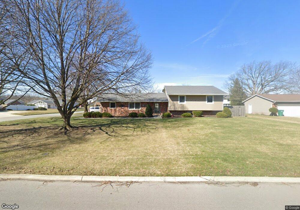
2920 Gleneagle Dr Findlay, OH 45840
Estimated Value: $298,825 - $333,000
4
Beds
3
Baths
2,151
Sq Ft
$150/Sq Ft
Est. Value
About This Home
This home is located at 2920 Gleneagle Dr, Findlay, OH 45840 and is currently estimated at $323,206, approximately $150 per square foot. 2920 Gleneagle Dr is a home located in Hancock County with nearby schools including Liberty-Benton Elementary School, Liberty-Benton Middle School, and Liberty-Benton High School.
Ownership History
Date
Name
Owned For
Owner Type
Purchase Details
Closed on
Jun 18, 2018
Sold by
Eiting Scott D
Bought by
Conner Brent J and Conner Bittany N
Current Estimated Value
Home Financials for this Owner
Home Financials are based on the most recent Mortgage that was taken out on this home.
Original Mortgage
$182,400
Outstanding Balance
$157,745
Interest Rate
4.5%
Mortgage Type
New Conventional
Estimated Equity
$165,461
Purchase Details
Closed on
May 1, 2014
Sold by
Simmons Charles H and Simmons Mary A
Bought by
Eiting Scott D
Home Financials for this Owner
Home Financials are based on the most recent Mortgage that was taken out on this home.
Original Mortgage
$69,500
Interest Rate
3.41%
Mortgage Type
New Conventional
Purchase Details
Closed on
Feb 10, 1993
Bought by
Simmons Charles H and Simmons Mary A
Purchase Details
Closed on
Nov 23, 1987
Bought by
Simmons Charles H and Simmons Mary A
Purchase Details
Closed on
Nov 18, 1987
Bought by
Matevia David P
Create a Home Valuation Report for This Property
The Home Valuation Report is an in-depth analysis detailing your home's value as well as a comparison with similar homes in the area
Home Values in the Area
Average Home Value in this Area
Purchase History
| Date | Buyer | Sale Price | Title Company |
|---|---|---|---|
| Conner Brent J | $192,000 | Flag City Title Agency Inc | |
| Eiting Scott D | $154,500 | Mid Am Title Agency | |
| Simmons Charles H | -- | -- | |
| Simmons Charles H | $84,500 | -- | |
| Matevia David P | -- | -- |
Source: Public Records
Mortgage History
| Date | Status | Borrower | Loan Amount |
|---|---|---|---|
| Open | Conner Brent J | $182,400 | |
| Previous Owner | Eiting Scott D | $69,500 |
Source: Public Records
Tax History Compared to Growth
Tax History
| Year | Tax Paid | Tax Assessment Tax Assessment Total Assessment is a certain percentage of the fair market value that is determined by local assessors to be the total taxable value of land and additions on the property. | Land | Improvement |
|---|---|---|---|---|
| 2024 | $2,808 | $75,540 | $11,490 | $64,050 |
| 2023 | $2,742 | $75,540 | $11,490 | $64,050 |
| 2022 | $2,715 | $75,540 | $11,490 | $64,050 |
| 2021 | $2,487 | $61,080 | $11,490 | $49,590 |
| 2020 | $2,508 | $61,080 | $11,490 | $49,590 |
| 2019 | $2,406 | $61,080 | $11,490 | $49,590 |
| 2018 | $1,896 | $53,120 | $10,000 | $43,120 |
| 2017 | $978 | $53,120 | $10,000 | $43,120 |
| 2016 | $1,904 | $53,120 | $10,000 | $43,120 |
| 2015 | $1,947 | $53,180 | $10,000 | $43,180 |
| 2014 | $1,965 | $53,180 | $10,000 | $43,180 |
| 2012 | $1,745 | $53,940 | $10,000 | $43,940 |
Source: Public Records
Map
Nearby Homes
- 3018 Gleneagle Dr
- 3106 Saddlebrook
- 1405 Cypress Lake
- 933 Laurel Ln
- 1310 Muirfield Dr
- 6535 Silver Lake Dr
- 925 W Melrose Ave
- 0 County Road 95 Unit 6097574
- 905 W Melrose Ave
- 3300 Crosshill Dr
- 615 Hillcrest Ave
- 506 Hillcrest Ave
- 643 Edith Ave
- 0 County Road 140
- 0 Bushwillow Dr Or Rock Candy Rd Unit Lot 157
- 0 Rock Candy Rd Or Bushwillow Dr Unit Lot 173
- 0 Township Highway 99
- 12325 Township Highway 99
- 0 Rock Candy Rd Unit Lot 159
- 0 Rock Candy Rd Unit Lot 170
- 2928 Gleneagle Dr
- 3001 Saddlebrook
- 2910 Gleneagle Dr
- 3009 Saddlebrook
- 2932 Gleneagle Dr
- 2923 Gleneagle Dr
- 2917 Gleneagle Dr
- 2939 Saddlebrook
- 2929 Gleneagle Dr
- 2906 Gleneagle Dr
- 3015 Saddlebrook
- 2911 Gleneagle Dr
- 3000 Gleneagle Dr
- 2933 Gleneagle Dr
- 2933 Saddlebrook
- 2907 Gleneagle Dr
- 2900 Gleneagle Dr
- 3021 Saddlebrook
- 3000 Saddlebrook
- 3001 Gleneagle Dr