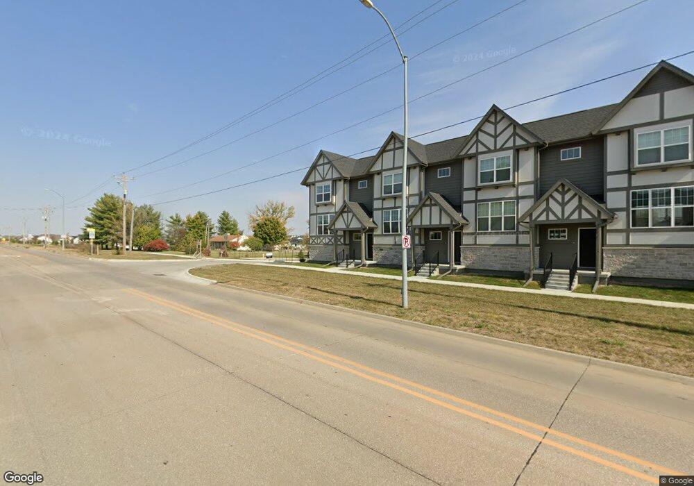
2920 SE L.A. Grant Pkwy Waukee, IA 50263
Estimated Value: $344,820
2
Beds
1
Bath
1,597
Sq Ft
$216/Sq Ft
Est. Value
About This Home
This home is located at 2920 SE L.A. Grant Pkwy, Waukee, IA 50263 and is currently priced at $344,820, approximately $215 per square foot. 2920 SE L.A. Grant Pkwy is a home with nearby schools including Maple Grove Elementary School, South Middle School, and Prairieview Middle School.
Ownership History
Date
Name
Owned For
Owner Type
Purchase Details
Closed on
Jun 27, 2022
Sold by
Hope K Farms Llc
Bought by
31495 Ashworth Road Llc
Current Estimated Value
Purchase Details
Closed on
Jun 21, 2022
Sold by
Snyder Larry L and Snyder Patricia A
Bought by
Hope K Farms Llc
Purchase Details
Closed on
Dec 17, 2020
Sold by
Snyder Larry L and Beal Snyder Patricia
Bought by
Hope K Farms Llc
Purchase Details
Closed on
Jun 14, 2018
Sold by
Snyder Larry and Snyder Patricia A Beal
Bought by
Snyder Larry L and Snyder Patricia A Beal
Create a Home Valuation Report for This Property
The Home Valuation Report is an in-depth analysis detailing your home's value as well as a comparison with similar homes in the area
Home Values in the Area
Average Home Value in this Area
Purchase History
| Date | Buyer | Sale Price | Title Company |
|---|---|---|---|
| 31495 Ashworth Road Llc | $900,000 | None Listed On Document | |
| Hope K Farms Llc | -- | Barnett Law Firm | |
| Hope K Farms Llc | $300,000 | None Available | |
| Snyder Larry L | -- | None Available |
Source: Public Records
Tax History Compared to Growth
Tax History
| Year | Tax Paid | Tax Assessment Tax Assessment Total Assessment is a certain percentage of the fair market value that is determined by local assessors to be the total taxable value of land and additions on the property. | Land | Improvement |
|---|---|---|---|---|
| 2023 | $4,228 | $96,000 | $96,000 | $0 |
| 2022 | $39 | $217,580 | $100,000 | $117,580 |
| 2021 | $3,880 | $201,930 | $92,000 | $109,930 |
| 2020 | $3,922 | $196,770 | $92,000 | $104,770 |
| 2019 | $3,974 | $196,770 | $92,000 | $104,770 |
| 2018 | $3,974 | $189,600 | $89,000 | $100,600 |
| 2017 | $3,906 | $189,600 | $89,000 | $100,600 |
| 2016 | $4,096 | $206,620 | $87,900 | $118,720 |
| 2015 | $3,978 | $200,130 | $0 | $0 |
| 2014 | $3,560 | $184,210 | $0 | $0 |
Source: Public Records
Map
Nearby Homes
- 2845 SE Bluestem Dr
- 2815 SE Bluestem Dr
- 2740 SE Florence Dr
- 2730 SE Florence Dr
- 2690 SE Florence Dr
- 2590 SE Kettleridge Ln
- 2605 SE Florence Dr
- 2580 SE Kettleridge Ln
- 2595 SE Florence Dr
- 2595 SE Kettleridge Ln
- 2590 SE Florence Dr
- 2570 SE Kettleridge Ln
- 2585 SE Kettleridge Ln
- 2570 SE Florence Dr
- 2575 SE Kettleridge Ln
- 2550 SE Kettleridge Ln
- Duke Expanded Plan at Kettlestone Ridge
- Outlot W Grand Prairie Pkwy
- 2420 SE Maxwell Dr
- 2355 SE Riverbirch Ln
- 3182 V Ave
- 3182, 3194 & 3710 V Ave
- 3182, 3194 & 3710 V Ave
- 3194 V Ave
- 2950 SE La Grant Pkwy
- 3186 V Ave
- 3207 Ashworth Rd
- 0 Ashworth Rd
- 2880 SE La Grant Pkwy
- 3214 Ashworth Rd
- 2860 SE Bluestem Dr
- 2850 SE Bluestem Dr
- 3232 Ashworth Rd
- 2865 SE Bluestem Dr
- 3224 Ashworth Rd
- 2840 SE Bluestem Dr
- 320 SE Esker Ridge Dr
- 2855 SE Bluestem Dr
- 330 SE Esker Ridge Dr
- 340 SE Esker Ridge Dr