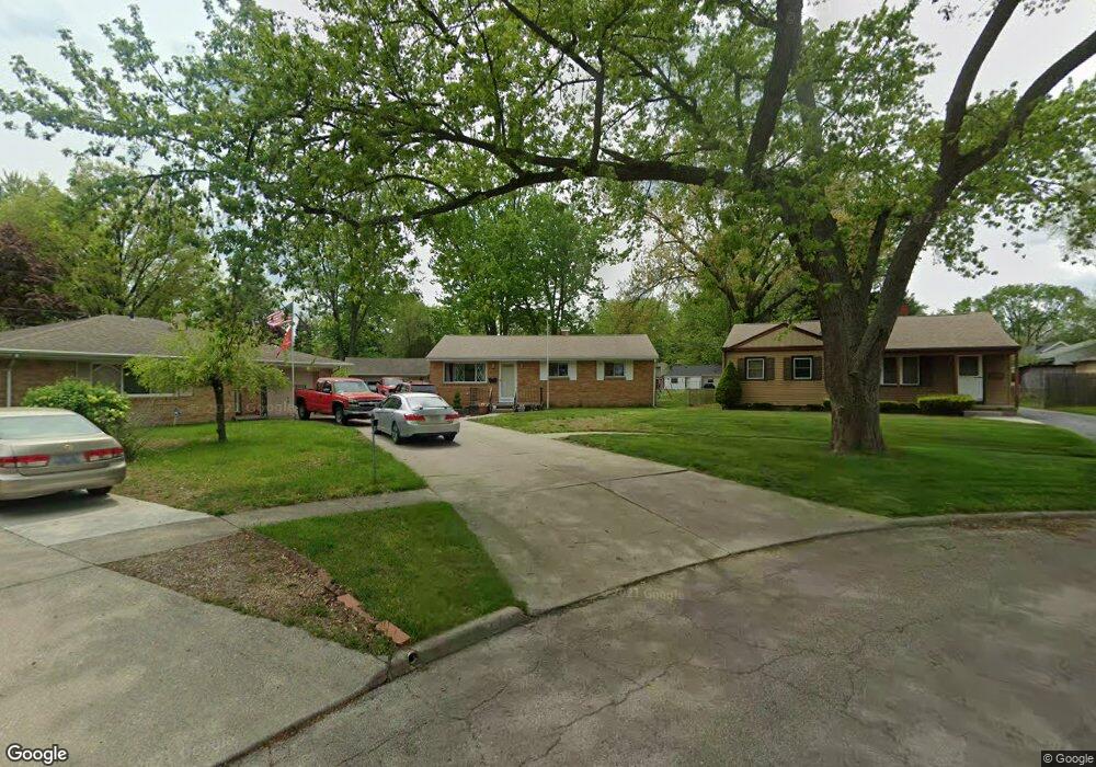
2921 Wyndale Rd Toledo, OH 43613
DeVeaux NeighborhoodEstimated Value: $169,000 - $223,000
3
Beds
2
Baths
1,107
Sq Ft
$171/Sq Ft
Est. Value
About This Home
This home is located at 2921 Wyndale Rd, Toledo, OH 43613 and is currently estimated at $188,764, approximately $170 per square foot. 2921 Wyndale Rd is a home located in Lucas County with nearby schools including Elmhurst Elementary School, Start High School, and Horizon Science Academy - Toledo High School.
Ownership History
Date
Name
Owned For
Owner Type
Purchase Details
Closed on
Jul 29, 2011
Sold by
Hale Irene E and Preuter Sharon
Bought by
Grames Gregory Allen
Current Estimated Value
Home Financials for this Owner
Home Financials are based on the most recent Mortgage that was taken out on this home.
Original Mortgage
$91,935
Outstanding Balance
$63,566
Interest Rate
4.54%
Mortgage Type
VA
Estimated Equity
$125,198
Create a Home Valuation Report for This Property
The Home Valuation Report is an in-depth analysis detailing your home's value as well as a comparison with similar homes in the area
Home Values in the Area
Average Home Value in this Area
Purchase History
| Date | Buyer | Sale Price | Title Company |
|---|---|---|---|
| Grames Gregory Allen | $90,000 | Chicago Title Insurance Co |
Source: Public Records
Mortgage History
| Date | Status | Borrower | Loan Amount |
|---|---|---|---|
| Open | Grames Gregory Allen | $91,935 |
Source: Public Records
Tax History Compared to Growth
Tax History
| Year | Tax Paid | Tax Assessment Tax Assessment Total Assessment is a certain percentage of the fair market value that is determined by local assessors to be the total taxable value of land and additions on the property. | Land | Improvement |
|---|---|---|---|---|
| 2024 | $1,427 | $48,440 | $10,430 | $38,010 |
| 2023 | $2,614 | $42,595 | $9,310 | $33,285 |
| 2022 | $2,619 | $42,595 | $9,310 | $33,285 |
| 2021 | $2,693 | $42,595 | $9,310 | $33,285 |
| 2020 | $2,523 | $35,490 | $7,770 | $27,720 |
| 2019 | $2,464 | $35,490 | $7,770 | $27,720 |
| 2018 | $2,465 | $35,490 | $7,770 | $27,720 |
| 2017 | $2,305 | $31,395 | $8,015 | $23,380 |
| 2016 | $2,288 | $89,700 | $22,900 | $66,800 |
| 2015 | $2,264 | $89,700 | $22,900 | $66,800 |
| 2014 | $1,975 | $31,400 | $8,020 | $23,380 |
| 2013 | $1,975 | $31,400 | $8,020 | $23,380 |
Source: Public Records
Map
Nearby Homes
- 4807 Brott Rd
- 4823 Cedarhurst Rd
- 2820 Claredale Rd
- 2842 Oak Grove Place
- 2849 W Laskey Rd
- 2855 Castleton Ave
- 2728 Castleton Ave
- 3065 Reen Dr
- 2659 Oak Grove Place
- 2605 Wyndale Rd
- 5117 Fern Dr
- 5111 Elaine Dr
- 2623 W Laskey Rd
- 4440 Woodmont Rd
- 4812 Secor Rd
- 4250 Garrison Rd
- 2640 Westbrook Dr
- 5201 Elaine Dr
- 4924 Roywood Rd
- 2645 Westbrook Dr
- 2919 Wyndale Rd
- 4801 Brott Rd
- 2917 Wyndale Rd
- 4742 Bowser Dr
- 4738 Bowser Dr
- 4802 Bowser Dr
- 2932 Gracewood Rd
- 2926 Gracewood Rd
- 4808 Bowser Dr
- 4722 Bowser Dr
- 2913 Wyndale Rd
- 4811 Brott Rd
- 2920 Gracewood Rd
- 4814 Bowser Dr
- 2914 Wyndale Rd
- 4817 Brott Rd
- 4720 Bowser Dr
- 4739 Garrison Rd
- 2912 Gracewood Rd
- 4820 Bowser Dr