29222 E 161st St Pleasant Hill, MO 64080
Estimated Value: $786,000 - $965,000
5
Beds
3
Baths
2,228
Sq Ft
$405/Sq Ft
Est. Value
About This Home
This home is located at 29222 E 161st St, Pleasant Hill, MO 64080 and is currently estimated at $903,369, approximately $405 per square foot. 29222 E 161st St is a home with nearby schools including Pleasant Hill Primary School, Pleasant Hill Elementary School, and Pleasant Hill Intermediate School.
Ownership History
Date
Name
Owned For
Owner Type
Purchase Details
Closed on
Jul 15, 2020
Sold by
Sanders Garrett Ethan and Sanders Melanie Kamil
Bought by
Sanders Garrett Ethan and Sanders Melanie Kamil
Current Estimated Value
Home Financials for this Owner
Home Financials are based on the most recent Mortgage that was taken out on this home.
Original Mortgage
$505,000
Interest Rate
3.1%
Mortgage Type
New Conventional
Purchase Details
Closed on
Sep 25, 2017
Sold by
Sanders Garrett E and Sanders Melanie K
Bought by
Sanders Garrett Ethan and Sanders Melanie Kamil
Create a Home Valuation Report for This Property
The Home Valuation Report is an in-depth analysis detailing your home's value as well as a comparison with similar homes in the area
Purchase History
| Date | Buyer | Sale Price | Title Company |
|---|---|---|---|
| Sanders Garrett Ethan | -- | Coffelt Land Title Inc | |
| Sanders Garrett Ethan | -- | None Available |
Source: Public Records
Mortgage History
| Date | Status | Borrower | Loan Amount |
|---|---|---|---|
| Closed | Sanders Garrett Ethan | $505,000 |
Source: Public Records
Tax History
| Year | Tax Paid | Tax Assessment Tax Assessment Total Assessment is a certain percentage of the fair market value that is determined by local assessors to be the total taxable value of land and additions on the property. | Land | Improvement |
|---|---|---|---|---|
| 2025 | $5,737 | $106,280 | $4,660 | $101,620 |
| 2024 | $5,737 | $94,910 | $4,240 | $90,670 |
| 2023 | $5,718 | $94,910 | $4,240 | $90,670 |
| 2022 | $5,155 | $84,400 | $4,240 | $80,160 |
| 2021 | $4,986 | $84,400 | $4,240 | $80,160 |
| 2020 | $4,044 | $70,520 | $4,240 | $66,280 |
| 2019 | $3,978 | $70,520 | $4,240 | $66,280 |
| 2018 | $3,997 | $67,180 | $4,240 | $62,940 |
| 2017 | $1,140 | $67,180 | $4,240 | $62,940 |
| 2016 | $1,140 | $63,840 | $4,240 | $59,600 |
| 2015 | $13 | $210 | $210 | $0 |
| 2014 | $13 | $210 | $210 | $0 |
| 2013 | -- | $210 | $210 | $0 |
Source: Public Records
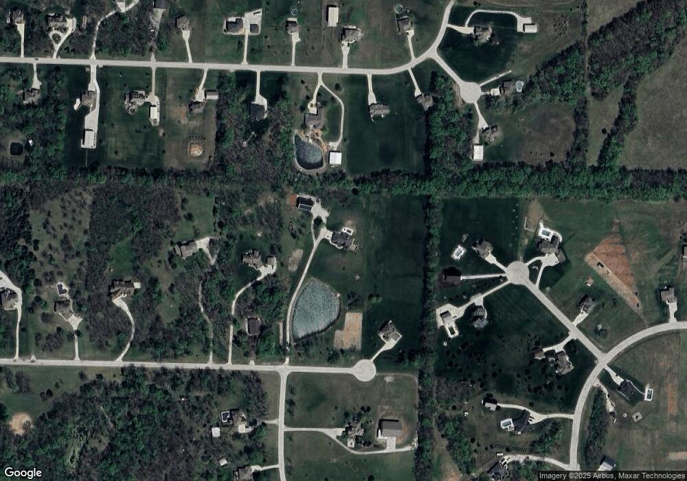
Map
Nearby Homes
- 30310 Woodland Dr
- 1405 E State Route Vv
- 1907 Owen Dr
- 1903 Owen Dr
- 16708 S Graham Rd
- 1901 Owen Dr
- 2009 Ridge Tree Dr
- 1202 Morgan Dr
- 1012 SW State Route 7
- 1308 Deena St
- 2000 Aspen St
- 1401 Mulberry St
- 809 Colonial Dr
- 1309 Russell Rd
- 902 Buckeye Ln
- 0 Lexington Rd
- 812 Buckeye Ln
- 1900 Hidden Valley Dr
- 807 Old Stage Rd
- 803 Mulberry St
- 29220 E 161st St
- 29224 E 161st St
- 29218 E 161st St
- 15905 Corbin Ct
- 29221 E 158th St
- 29223 E 158th St
- 16108 Eastwood Cir
- 15906 Corbin Ct
- 16105 Eastwood Cir
- 15815 Rosemoor Dr
- 29214 E 161st St
- 29217 E 158th St
- Lot 1 161st St
- Lot 3 161st St
- 15824 Ashton Ct
- 16122 Eastwood Cir
- 15908 Corbin Ct
- 15907 Corbin Ct
- 16111 Eastwood Cir
- 29222 E 158th St
Your Personal Tour Guide
Ask me questions while you tour the home.