29265 Hale Rd Scappoose, OR 97056
Estimated Value: $594,000 - $815,000
3
Beds
2
Baths
1,832
Sq Ft
$394/Sq Ft
Est. Value
About This Home
This home is located at 29265 Hale Rd, Scappoose, OR 97056 and is currently estimated at $721,492, approximately $393 per square foot. 29265 Hale Rd is a home located in Columbia County with nearby schools including Scappoose High School.
Ownership History
Date
Name
Owned For
Owner Type
Purchase Details
Closed on
Aug 17, 2012
Sold by
Hopkins Scott David and Hopkins Scott D
Bought by
Hopkins Scott David and Hopkins Michelle Marie
Current Estimated Value
Home Financials for this Owner
Home Financials are based on the most recent Mortgage that was taken out on this home.
Original Mortgage
$220,488
Interest Rate
3.53%
Mortgage Type
New Conventional
Create a Home Valuation Report for This Property
The Home Valuation Report is an in-depth analysis detailing your home's value as well as a comparison with similar homes in the area
Home Values in the Area
Average Home Value in this Area
Purchase History
| Date | Buyer | Sale Price | Title Company |
|---|---|---|---|
| Hopkins Scott David | -- | Fidelity Natl Title Co Of Or |
Source: Public Records
Mortgage History
| Date | Status | Borrower | Loan Amount |
|---|---|---|---|
| Closed | Hopkins Scott David | $220,488 |
Source: Public Records
Tax History Compared to Growth
Tax History
| Year | Tax Paid | Tax Assessment Tax Assessment Total Assessment is a certain percentage of the fair market value that is determined by local assessors to be the total taxable value of land and additions on the property. | Land | Improvement |
|---|---|---|---|---|
| 2025 | $6,737 | $503,590 | $171,250 | $332,340 |
| 2024 | $6,542 | $488,930 | $166,260 | $322,670 |
| 2023 | $6,514 | $474,690 | $163,290 | $311,400 |
| 2022 | $5,023 | $371,262 | $167,150 | $204,112 |
| 2021 | $4,552 | $335,620 | $128,410 | $207,210 |
| 2020 | $4,181 | $325,850 | $125,110 | $200,740 |
| 2019 | $4,076 | $316,360 | $120,400 | $195,960 |
| 2018 | $3,966 | $307,150 | $146,360 | $160,790 |
| 2017 | $3,908 | $298,210 | $142,090 | $156,120 |
| 2016 | $3,876 | $289,530 | $137,950 | $151,580 |
| 2015 | $3,662 | $281,100 | $128,410 | $152,690 |
| 2014 | $3,578 | $272,920 | $100,770 | $172,150 |
Source: Public Records
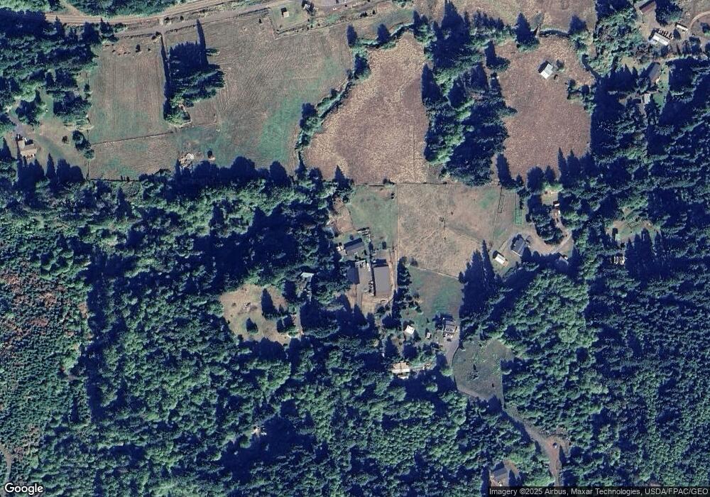
Map
Nearby Homes
- 28995 Scappoose Vernonia Hwy
- 57232 Cedar Creek Rd
- 57647 Cedar Springs Dr
- 30004 Scappoose Vernonia Hwy
- 31287 New Kirk Rd
- 31444 New Kirk Rd
- 55496 Pioneer Rd
- 0 Armstrong Rd Unit 101 23014009
- 0 Viewcrest Dr Unit 24577481
- 31917 Brooks Rd
- 0 Reid Rd
- 32005 Scappoose Vernonia Hwy
- 32084 Brooks Rd
- 0 Parcel 1 Peter St St Unit 174014860
- 0 Peter St Unit 1S 480042051
- 32991 Rodney St
- 32650 Oester Rd
- 0 Oester Rd
- 0 Cater (East) Rd Unit 798882
- 00 Cater (East) Rd
- 29130 Hale Rd
- 29273 Hale Rd
- 29353 Hale Rd
- 29360 Hale Rd
- 29266 Hale Rd
- 29380 Hale Rd Unit 29
- 29382 Hale Rd
- 29385 Hale Rd
- 29099 Scappoose Vernonia Hwy
- 28890 Chapman Grange Rd
- 29393 Hale Rd
- 29371 Scappoose Vernonia Hwy
- 29350 Hale Rd
- 29439 Scappoose Vernonia Hwy
- 28815 Chapman Grange Rd
- 57360 Cedar Springs Dr
- 29395 Hale Rd Unit 29400
- 28930 Huber Rd
- 29370 Hale Rd
- 29501 Scappoose Vernonia Hwy