2927 Avery Cir Unit 2927 Springfield, OH 45503
Estimated Value: $163,077 - $180,000
2
Beds
2
Baths
1,176
Sq Ft
$146/Sq Ft
Est. Value
About This Home
This home is located at 2927 Avery Cir Unit 2927, Springfield, OH 45503 and is currently estimated at $171,769, approximately $146 per square foot. 2927 Avery Cir Unit 2927 is a home located in Clark County with nearby schools including Kenton Elementary School, Roosevelt Middle School, and Springfield High School.
Ownership History
Date
Name
Owned For
Owner Type
Purchase Details
Closed on
Sep 21, 2022
Sold by
Sprinkle Kimberly K
Bought by
Scott Family Irrevocable Trust and Stephenson
Current Estimated Value
Purchase Details
Closed on
Nov 22, 2013
Sold by
Carr Linda L
Bought by
Scott Martha J
Purchase Details
Closed on
Mar 1, 2011
Sold by
Weeks David A
Bought by
Carr Linda L
Purchase Details
Closed on
Jul 11, 2003
Sold by
Chapman A Diane
Bought by
Weeks Ruth B
Purchase Details
Closed on
Jun 1, 1985
Create a Home Valuation Report for This Property
The Home Valuation Report is an in-depth analysis detailing your home's value as well as a comparison with similar homes in the area
Home Values in the Area
Average Home Value in this Area
Purchase History
| Date | Buyer | Sale Price | Title Company |
|---|---|---|---|
| Scott Family Irrevocable Trust | -- | None Listed On Document | |
| Sprinkle Kimberly K | -- | -- | |
| Sprinkle Kimberly K | -- | None Listed On Document | |
| Scott Martha J | $81,000 | Ohio Real Estate Title | |
| Carr Linda L | $72,900 | Ohio Real Estate Title | |
| Weeks Ruth B | $86,000 | -- | |
| -- | $56,500 | -- |
Source: Public Records
Tax History Compared to Growth
Tax History
| Year | Tax Paid | Tax Assessment Tax Assessment Total Assessment is a certain percentage of the fair market value that is determined by local assessors to be the total taxable value of land and additions on the property. | Land | Improvement |
|---|---|---|---|---|
| 2024 | $1,046 | $32,040 | $5,380 | $26,660 |
| 2023 | $1,583 | $32,040 | $5,380 | $26,660 |
| 2022 | $0 | $32,040 | $5,380 | $26,660 |
| 2021 | $1,076 | $28,860 | $4,380 | $24,480 |
| 2020 | $1,078 | $28,860 | $4,380 | $24,480 |
| 2019 | $1,081 | $28,860 | $4,380 | $24,480 |
| 2018 | $961 | $25,920 | $3,820 | $22,100 |
| 2017 | $960 | $25,764 | $3,815 | $21,949 |
| 2016 | $961 | $25,764 | $3,815 | $21,949 |
| 2015 | $436 | $25,449 | $3,500 | $21,949 |
| 2014 | $523 | $25,449 | $3,500 | $21,949 |
| 2013 | $1,351 | $25,449 | $3,500 | $21,949 |
Source: Public Records
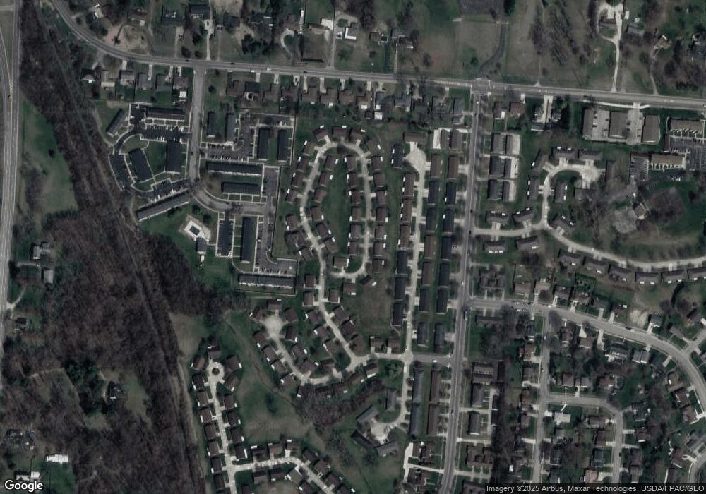
Map
Nearby Homes
- 732 Grandview Dr Unit 732
- 542 Villa Rd
- 647 Villa Rd Unit A
- 537 Rensselaer St
- 2933 Stonehaven Dr
- 2813 Wellsford Dr
- 2677 Carousel Dr
- 2933 Bahia Dr
- 1225 Vester Ave
- 2540 Rebecca Dr
- 2683 Home Orchard Dr
- 2516 Balsam Dr
- 2524 Home Orchard Dr
- 2408 Balsam Dr
- 2642 Kilkenny Ct
- 3032 Armsgate Rd Unit 25
- 3029 Bradford Dr Unit 46
- 385 Secretariat Dr
- 417 Braytonburne Dr
- 26 Thomaston Trail
- 2927 Avery Cir
- 2931 Avery Cir Unit 2931
- 2915 Avery Cir
- 2930 Avery Cir Unit 2930
- 2928 Avery Cir Unit 2928
- 2924 Avery Cir Unit 2924
- 2924 Avery Cir
- 2924 Avery Cir
- 2932 Avery Cir
- 2935 Avery Cir Unit 2935
- 2935 Avery Cir
- 2935 Avery Cir
- 2934 Avery Cir Unit 2934
- 2920 Avery Cir Unit 2920
- 2916 Avery Cir
- 2936 Avery Cir Unit 2936
- 2925 Avery Cir
- 2938 Avery Cir
- 2938 Avery Cir
- 3121 Argonne Ln N