2928 Manning Rd Suffolk, VA 23434
Holy Neck Neighborhood
3
Beds
2
Baths
3,333
Sq Ft
1,234,490
Sq Ft
About This Home
This home is located at 2928 Manning Rd, Suffolk, VA 23434. 2928 Manning Rd is a home located in Suffolk City with nearby schools including Southwestern Elementary School, Forest Glen Middle School, and Lakeland High School.
Ownership History
Date
Name
Owned For
Owner Type
Purchase Details
Closed on
Oct 22, 2025
Sold by
Mcmillian Shirley T and Mcmillan Shirley T
Bought by
Shirley T Mcmillan Revocable Living Trust
Purchase Details
Closed on
Nov 9, 2015
Sold by
Mcmillan Theodore L and Mcmillan Shirley T
Bought by
Mcmillan Shirley T
Home Financials for this Owner
Home Financials are based on the most recent Mortgage that was taken out on this home.
Original Mortgage
$297,850
Interest Rate
3.5%
Mortgage Type
New Conventional
Create a Home Valuation Report for This Property
The Home Valuation Report is an in-depth analysis detailing your home's value as well as a comparison with similar homes in the area
Home Values in the Area
Average Home Value in this Area
Purchase History
| Date | Buyer | Sale Price | Title Company |
|---|---|---|---|
| Shirley T Mcmillan Revocable Living Trust | -- | None Listed On Document | |
| Mcmillan Shirley T | -- | None Available |
Source: Public Records
Mortgage History
| Date | Status | Borrower | Loan Amount |
|---|---|---|---|
| Previous Owner | Mcmillan Shirley T | $297,850 |
Source: Public Records
Tax History
| Year | Tax Paid | Tax Assessment Tax Assessment Total Assessment is a certain percentage of the fair market value that is determined by local assessors to be the total taxable value of land and additions on the property. | Land | Improvement |
|---|---|---|---|---|
| 2025 | $9,200 | $817,800 | $183,100 | $634,700 |
| 2024 | $9,200 | $743,500 | $166,400 | $577,100 |
| 2023 | $8,348 | $725,000 | $166,400 | $558,600 |
| 2022 | $7,124 | $653,600 | $166,400 | $487,200 |
| 2021 | $6,752 | $608,300 | $166,400 | $441,900 |
| 2020 | $6,415 | $577,900 | $166,400 | $411,500 |
| 2019 | $6,415 | $577,900 | $166,400 | $411,500 |
| 2018 | $5,240 | $486,200 | $138,700 | $347,500 |
| 2017 | $4,946 | $462,200 | $138,700 | $323,500 |
| 2016 | $4,813 | $449,800 | $138,700 | $311,100 |
| 2015 | $2,486 | $449,800 | $138,700 | $311,100 |
| 2014 | $2,486 | $449,800 | $138,700 | $311,100 |
Source: Public Records
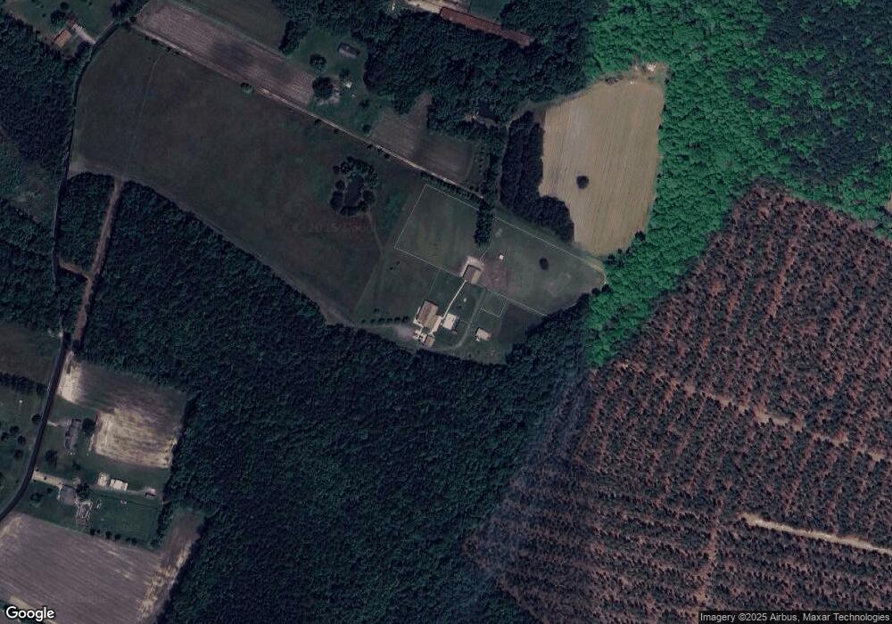
Map
Nearby Homes
- 0 N Liberty Spring Rd (Tract: Ches Block 4-61-119)
- 1925 Copeland Rd
- 1554 Shellito Ln
- 2395 Copeland Rd
- 3003 Whaleyville Blvd
- Hwy 13 Whaleyville Blvd
- 163 Greenway Rd
- .26+AC Lummis Rd
- 1913 Whaleyville Blvd
- 1132 Manning Rd
- 3316 Holland Rd
- 3320 Holland Rd
- 3240 Holland Rd
- 1724 Whaleyville Blvd
- .51ac Holland Rd
- 6469 Quaker Dr
- 2301 Airport Rd
- 1840 Carolina Rd
- 207 Beechwood Dr
- 4809 Mineral Spring Rd
- 2850 Manning Rd
- 2924 Manning Rd
- 2922 Manning Rd
- 2840 Manning Rd
- 3040 Manning Rd
- 2836 Manning Rd
- 3044 Manning Rd
- 3020 Manning Rd
- 3045 Manning Rd
- 2927 Manning Rd
- 2832 Manning Rd
- 2820 Manning Rd
- 2841 Manning Rd
- 3001 Manning Rd
- 1057 Bent Pine Ln
- 2821 Manning Rd
- 3061 Manning Rd
- 2915 Manning Rd
- 3003 Manning Rd
- 2804 Manning Rd
Your Personal Tour Guide
Ask me questions while you tour the home.