Estimated Value: $42,930 - $149,000
3
Beds
2
Baths
924
Sq Ft
$104/Sq Ft
Est. Value
About This Home
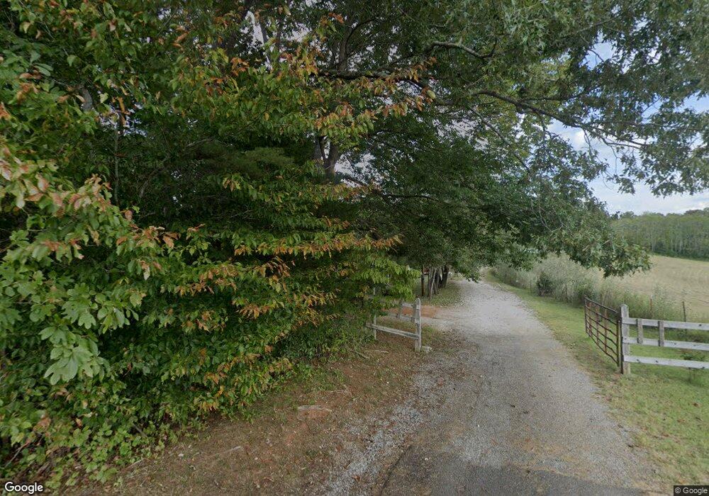
This home is located at 293 Buds Ln, Doyle, TN 38559 and is currently estimated at $95,643, approximately $103 per square foot. 293 Buds Ln is a home located in White County with nearby schools including Doyle Elementary School, White County Middle School, and White County High School.
Ownership History
Date
Name
Owned For
Owner Type
Purchase Details
Closed on
Oct 24, 2013
Bought by
Mccurry Charles & Angle Lite
Current Estimated Value
Purchase Details
Closed on
Aug 10, 1999
Sold by
Lloyd Nash and Lloyd Linda
Bought by
Mccurry Charles N
Home Financials for this Owner
Home Financials are based on the most recent Mortgage that was taken out on this home.
Original Mortgage
$10,800
Interest Rate
7.65%
Purchase Details
Closed on
Apr 26, 1999
Sold by
Ades Rice
Bought by
Dale Maxwell
Purchase Details
Closed on
Feb 27, 1999
Bought by
Simpson John C
Purchase Details
Closed on
Sep 24, 1998
Bought by
Nash Lloyd and Nash Linda
Create a Home Valuation Report for This Property
The Home Valuation Report is an in-depth analysis detailing your home's value as well as a comparison with similar homes in the area
Home Values in the Area
Average Home Value in this Area
Purchase History
| Date | Buyer | Sale Price | Title Company |
|---|---|---|---|
| Mccurry Charles & Angle Lite | -- | -- | |
| Mccurry Charles N | $12,000 | -- | |
| Dale Maxwell | $500 | -- | |
| Simpson John C | $10,800 | -- | |
| Nash Lloyd | $550,000 | -- |
Source: Public Records
Mortgage History
| Date | Status | Borrower | Loan Amount |
|---|---|---|---|
| Previous Owner | Nash Lloyd | $10,800 |
Source: Public Records
Tax History Compared to Growth
Tax History
| Year | Tax Paid | Tax Assessment Tax Assessment Total Assessment is a certain percentage of the fair market value that is determined by local assessors to be the total taxable value of land and additions on the property. | Land | Improvement |
|---|---|---|---|---|
| 2024 | $259 | $12,625 | $12,625 | $0 |
| 2023 | $259 | $12,625 | $12,625 | $0 |
| 2022 | $259 | $12,625 | $12,625 | $0 |
| 2021 | $304 | $14,850 | $12,625 | $2,225 |
| 2020 | $304 | $14,850 | $12,625 | $2,225 |
| 2019 | $244 | $11,900 | $10,125 | $1,775 |
| 2018 | $244 | $11,900 | $10,125 | $1,775 |
| 2017 | $244 | $11,900 | $10,125 | $1,775 |
| 2016 | $244 | $11,900 | $10,125 | $1,775 |
| 2015 | $220 | $11,900 | $10,125 | $1,775 |
| 2014 | -- | $11,900 | $10,125 | $1,775 |
| 2013 | -- | $13,925 | $10,125 | $3,800 |
Source: Public Records
Map
Nearby Homes
- 9073 McMinnville Hwy
- 118 Ed Phifer Rd
- 4 Barlow Rd
- 934 Holder Station Rd
- 3204 Sparkman Town Rd
- 0 Sparkmantown Rd Unit RTC2931549
- 0 Sparkman Town Rd
- 3204 Sparkmantown Rd
- 2541 Sparkman Town Rd
- 2089 Pettit Cove Rd
- 88 Hollingsworth Slough Rd
- 691 Hodges Bridge Rd
- 1518 Cummingsville and Sparkman Rd
- 0 Rogers Rd Unit RTC2946486
- 5469 McMinnville Hwy
- 1627 Rogers Rd
- 250 Mountain St
- 206 Wilhite St
- 13813 Old Kentucky Rd
- 257 Earls Ln
- 260 Buds Ln
- 8420 McMinnville Hwy
- 414 W Cole Rd
- 8550 McMinnville Hwy
- 710 E Cole Rd
- 5 03 Ac W Cole Rd
- 8097 McMinnville Hwy
- 15.50 Memorial Hwy
- 377 Davis Cole Rd
- 5.03 Ac. W Cole Rd
- 8049 McMinnville Hwy
- 250 W Cole Rd
- . W Cole Rd
- 170 W Cole Rd
- 8721 McMinnville Hwy
- 889 E Cole Rd
- 916 E Cole Rd
- 928 E Cole Rd
- 189 W Cole Rd
- 1036 E Cole Rd
