293 Moose Trail Whitefish, MT 59937
Estimated Value: $585,937 - $879,000
3
Beds
2
Baths
985
Sq Ft
$683/Sq Ft
Est. Value
About This Home
This home is located at 293 Moose Trail, Whitefish, MT 59937 and is currently estimated at $673,234, approximately $683 per square foot. 293 Moose Trail is a home located in Flathead County with nearby schools including L.A. Muldown School, Whitefish Middle School, and Whitefish High School.
Ownership History
Date
Name
Owned For
Owner Type
Purchase Details
Closed on
Oct 21, 2011
Sold by
Prudential Relocation Inc
Bought by
Mccarthy Alison A and Tody Stpehen Kyle
Current Estimated Value
Home Financials for this Owner
Home Financials are based on the most recent Mortgage that was taken out on this home.
Original Mortgage
$211,500
Outstanding Balance
$143,973
Interest Rate
4.06%
Mortgage Type
New Conventional
Estimated Equity
$529,261
Purchase Details
Closed on
Jul 1, 2011
Sold by
Conard Benjamin and Conard Melissa
Bought by
Prudential Relocation Inc
Create a Home Valuation Report for This Property
The Home Valuation Report is an in-depth analysis detailing your home's value as well as a comparison with similar homes in the area
Home Values in the Area
Average Home Value in this Area
Purchase History
| Date | Buyer | Sale Price | Title Company |
|---|---|---|---|
| Mccarthy Alison A | -- | Sterling Title Services Inc | |
| Prudential Relocation Inc | -- | Sterling Title Services Inc |
Source: Public Records
Mortgage History
| Date | Status | Borrower | Loan Amount |
|---|---|---|---|
| Open | Mccarthy Alison A | $211,500 |
Source: Public Records
Tax History Compared to Growth
Tax History
| Year | Tax Paid | Tax Assessment Tax Assessment Total Assessment is a certain percentage of the fair market value that is determined by local assessors to be the total taxable value of land and additions on the property. | Land | Improvement |
|---|---|---|---|---|
| 2025 | $1,756 | $591,400 | $0 | $0 |
| 2024 | $2,190 | $477,800 | $0 | $0 |
| 2023 | $2,409 | $477,800 | $0 | $0 |
| 2022 | $2,023 | $328,200 | $0 | $0 |
| 2021 | $2,197 | $328,200 | $0 | $0 |
| 2020 | $2,216 | $289,800 | $0 | $0 |
| 2019 | $2,359 | $289,800 | $0 | $0 |
| 2018 | $2,157 | $256,400 | $0 | $0 |
| 2017 | $2,026 | $256,400 | $0 | $0 |
| 2016 | $2,011 | $250,300 | $0 | $0 |
| 2015 | $1,985 | $250,300 | $0 | $0 |
| 2014 | $1,627 | $123,013 | $0 | $0 |
Source: Public Records
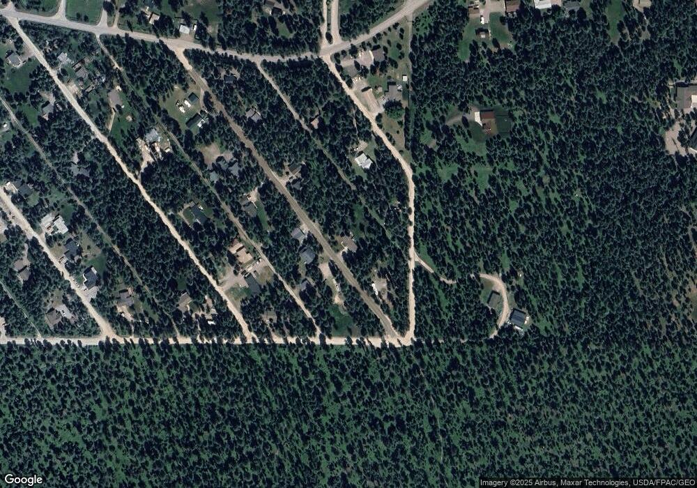
Map
Nearby Homes
- 272/268 Moose Trail
- 276 Moose Trail
- 1785 Hodgson Rd
- 277 Hare Trail
- 115 Autumn Ct
- 257 Fawn Trail
- 181 Mallard Loop
- 429 Bear Trail
- 64 Wagon Wheel Rd
- 306 Plantation Dr
- 35 Stagecoach Dr
- 4870 US Highway 93 S Unit 38
- 360 Plantation Dr
- 200 Stageline Dr
- 182 Rosewood Ln Unit Lot 15
- 142 Rosewood Ln Unit Lot 18
- 185 Rosewood Ln Unit Lot 14
- 161 Rosewood Unit Lot 10
- 149 Rosewood Ln Unit Lot 8
- Address To Be Determ the Woodlands Unit Lot 4
- 295 Moose Trail
- 280 Moose Trail
- 298 Possum Trail
- 292 Moose Trail
- 292 Moose Trail
- 291 Moose Trail
- NHN Moose Trail
- 294 Possum Trail
- 297 Lion Trail
- 288 Moose Trail
- 295 Lion Trail
- 289 Moose Trail
- 291 Lion Trail
- 284 Moose Trail
- 287 Lion Trail
- 291 Possum Trail
- 291 Possum Trail
- 282/286 Possum Trail
- 281 Moose Trail
- 279 Lion Trail