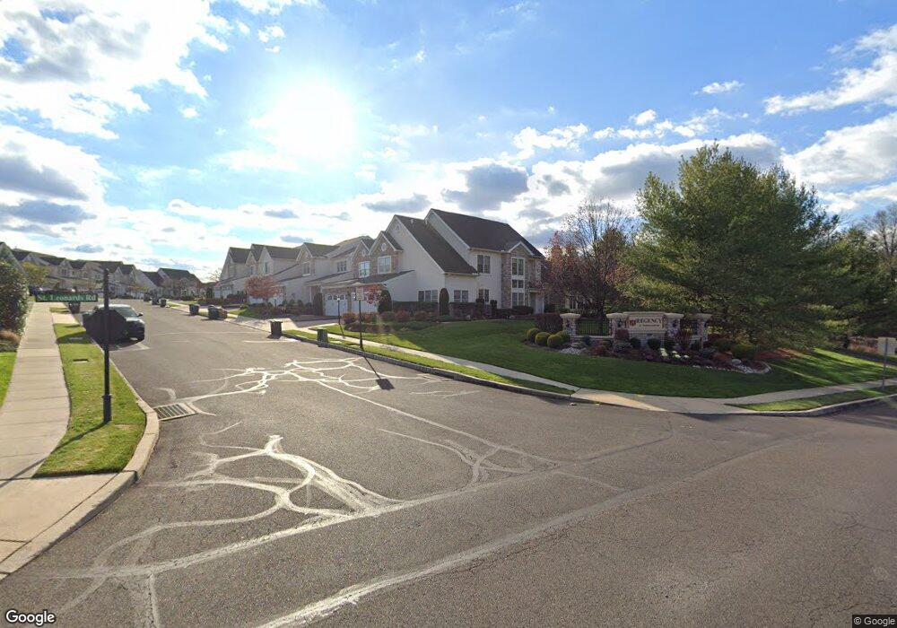
293 Sydney Rd Southampton, PA 18966
Estimated Value: $734,000 - $827,000
3
Beds
3
Baths
3,050
Sq Ft
$251/Sq Ft
Est. Value
About This Home
This home is located at 293 Sydney Rd, Southampton, PA 18966 and is currently estimated at $766,511, approximately $251 per square foot. 293 Sydney Rd is a home located in Bucks County with nearby schools including Rolling Hills Elementary School, Richboro Middle School, and Council Rock High School - South.
Ownership History
Date
Name
Owned For
Owner Type
Purchase Details
Closed on
Feb 27, 2007
Sold by
Toll Pa Iv Lp
Bought by
Kulp Dennis J and Kulp Gwen A
Current Estimated Value
Home Financials for this Owner
Home Financials are based on the most recent Mortgage that was taken out on this home.
Original Mortgage
$380,000
Outstanding Balance
$231,766
Interest Rate
6.4%
Mortgage Type
Purchase Money Mortgage
Estimated Equity
$534,745
Create a Home Valuation Report for This Property
The Home Valuation Report is an in-depth analysis detailing your home's value as well as a comparison with similar homes in the area
Home Values in the Area
Average Home Value in this Area
Purchase History
| Date | Buyer | Sale Price | Title Company |
|---|---|---|---|
| Kulp Dennis J | $585,839 | None Available |
Source: Public Records
Mortgage History
| Date | Status | Borrower | Loan Amount |
|---|---|---|---|
| Open | Kulp Dennis J | $380,000 |
Source: Public Records
Tax History Compared to Growth
Tax History
| Year | Tax Paid | Tax Assessment Tax Assessment Total Assessment is a certain percentage of the fair market value that is determined by local assessors to be the total taxable value of land and additions on the property. | Land | Improvement |
|---|---|---|---|---|
| 2025 | $9,447 | $49,050 | $4,600 | $44,450 |
| 2024 | $9,447 | $49,050 | $4,600 | $44,450 |
| 2023 | $8,904 | $49,050 | $4,600 | $44,450 |
| 2022 | $8,823 | $49,050 | $4,600 | $44,450 |
| 2021 | $8,543 | $49,050 | $4,600 | $44,450 |
| 2020 | $8,351 | $49,050 | $4,600 | $44,450 |
| 2019 | $7,994 | $49,050 | $4,600 | $44,450 |
| 2018 | $7,851 | $49,050 | $4,600 | $44,450 |
| 2017 | $7,549 | $49,050 | $4,600 | $44,450 |
| 2016 | $7,549 | $49,050 | $4,600 | $44,450 |
| 2015 | -- | $49,050 | $4,600 | $44,450 |
| 2014 | -- | $49,050 | $4,600 | $44,450 |
Source: Public Records
Map
Nearby Homes
- 23 Brianna Rd
- 21 Tree Bark Ln
- 102 Keenan Ln
- 163 Leedom Way Unit 25
- 210 E Hanover St
- 327 Hale Dr Unit 801A
- 151 Knox Ct
- 180 Independence Dr
- 28 Peter Dr
- 80 Hershey Ct
- 104 Cornell Rd
- 31 Hillcroft Way
- 501 Potters Ct
- 21 Joanne Rd
- 41019 Coopers Place Unit 9
- 10014 Beacon Hill Dr Unit 7
- 281 E Village Rd
- 58 German Ave
- 501 Heritage Place Unit 1
- 9015 Heritage Dr Unit 8