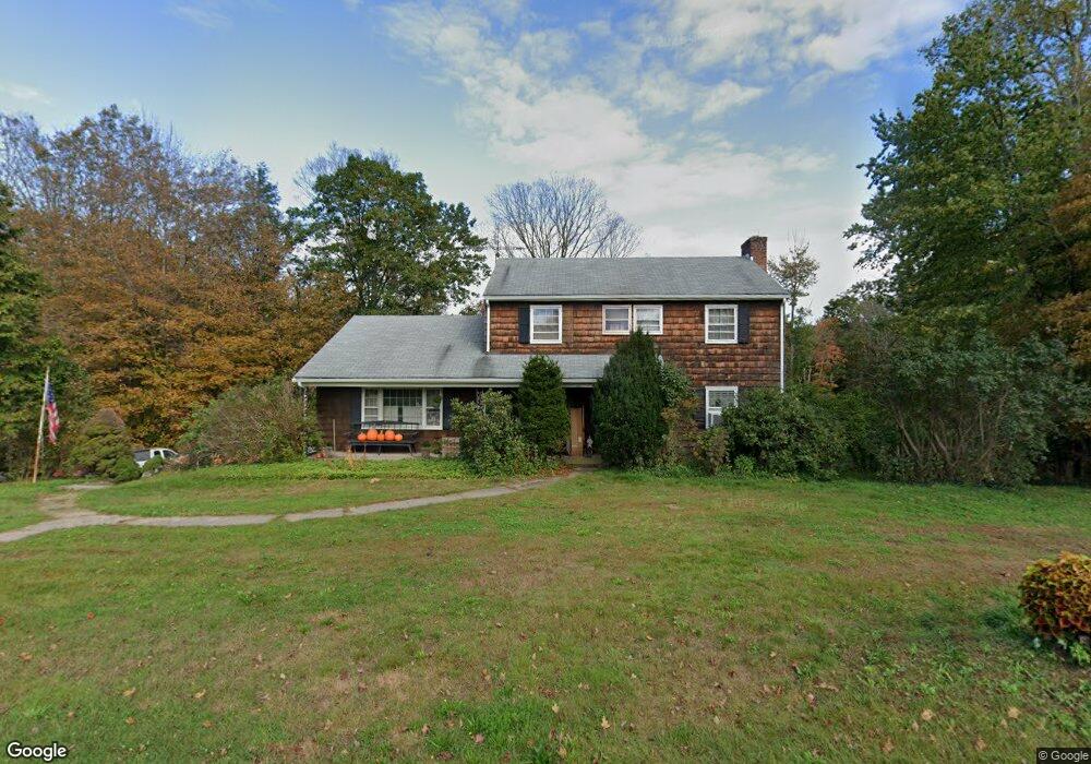
293 Torringford St Winsted, CT 06098
Estimated Value: $414,000 - $472,000
4
Beds
3
Baths
2,376
Sq Ft
$188/Sq Ft
Est. Value
About This Home
This home is located at 293 Torringford St, Winsted, CT 06098 and is currently estimated at $447,200, approximately $188 per square foot. 293 Torringford St is a home located in Litchfield County with nearby schools including Pearson School and St Anthony School.
Ownership History
Date
Name
Owned For
Owner Type
Purchase Details
Closed on
Jun 27, 2013
Sold by
Miller David B
Bought by
Miller Laura C
Current Estimated Value
Purchase Details
Closed on
Jan 15, 2008
Sold by
Cavanagh Brian P and Cavanagh Stephen R
Bought by
Miller David B and Montesi Laura C
Home Financials for this Owner
Home Financials are based on the most recent Mortgage that was taken out on this home.
Original Mortgage
$283,400
Interest Rate
6.21%
Create a Home Valuation Report for This Property
The Home Valuation Report is an in-depth analysis detailing your home's value as well as a comparison with similar homes in the area
Home Values in the Area
Average Home Value in this Area
Purchase History
| Date | Buyer | Sale Price | Title Company |
|---|---|---|---|
| Miller Laura C | -- | -- | |
| Miller Laura C | -- | -- | |
| Miller David B | $315,000 | -- | |
| Miller David B | $315,000 | -- |
Source: Public Records
Mortgage History
| Date | Status | Borrower | Loan Amount |
|---|---|---|---|
| Previous Owner | Miller David B | $283,400 |
Source: Public Records
Tax History
| Year | Tax Paid | Tax Assessment Tax Assessment Total Assessment is a certain percentage of the fair market value that is determined by local assessors to be the total taxable value of land and additions on the property. | Land | Improvement |
|---|---|---|---|---|
| 2025 | $6,567 | $225,120 | $80,570 | $144,550 |
| 2024 | $6,132 | $225,120 | $80,570 | $144,550 |
| 2023 | $5,941 | $225,120 | $80,570 | $144,550 |
| 2022 | $5,900 | $175,910 | $70,140 | $105,770 |
| 2021 | $5,900 | $175,910 | $70,140 | $105,770 |
| 2020 | $5,900 | $175,910 | $70,140 | $105,770 |
| 2019 | $5,900 | $175,910 | $70,140 | $105,770 |
| 2018 | $5,900 | $175,910 | $70,140 | $105,770 |
| 2017 | $5,733 | $170,940 | $67,760 | $103,180 |
| 2016 | $5,733 | $170,940 | $67,760 | $103,180 |
| 2015 | $5,590 | $170,940 | $67,760 | $103,180 |
| 2014 | $5,455 | $170,940 | $67,760 | $103,180 |
Source: Public Records
Map
Nearby Homes
- 7 Stadler Heights
- 187 Torringford St
- 94 Colin Dr
- 478 Greenwoods Rd
- 3222 Torringford St
- 817 E Wakefield Blvd
- 180 Ascot Ln
- 200 W Hill Rd
- 408 A Niles Rd
- 105,107 E Mountain Rd
- 408 New Hartford Rd
- 18 Niles Rd
- 843-845 (lots - 10A, E Wakefield Blvd
- 605 E Wakefield Blvd
- 107 Peck Rd
- 230 White Oak Way
- 109 Winterberry Way
- 260 Hayden Hill Rd
- 353A Hayden Hill Rd
- 0 Hayden Hill Rd
- 279 Torringford St
- 295 Torringford St
- 4200 Torringford St
- 315 W Hill Rd
- 287 Torringford St
- 4184 Torringford St
- 4174 Torringford St
- 4150 Torringford St
- 4118 Torringford St
- 263 Torringford St
- 255 Torringford St
- 73 W Hill Rd
- 261 Torringford St
- 270 Torringford St
- 4080 Torringford St
- 269 Torringford St
- 165 W Hill Rd
- 75 W Hill Rd
- 141 W Hill Rd
- 251 W Hill Rd