Estimated Value: $199,000 - $427,000
4
Beds
1
Bath
2,583
Sq Ft
$123/Sq Ft
Est. Value
About This Home
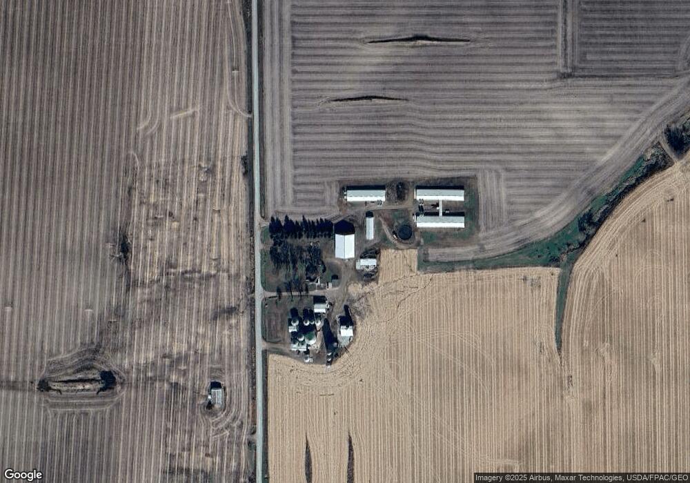
This home is located at 29332 X Ave, Union, IA 50258 and is currently estimated at $318,551, approximately $123 per square foot. 29332 X Ave is a home located in Hardin County with nearby schools including BCLUW Elementary School, BCLUW Middle School, and BCLUW High School.
Create a Home Valuation Report for This Property
The Home Valuation Report is an in-depth analysis detailing your home's value as well as a comparison with similar homes in the area
Home Values in the Area
Average Home Value in this Area
Tax History Compared to Growth
Tax History
| Year | Tax Paid | Tax Assessment Tax Assessment Total Assessment is a certain percentage of the fair market value that is determined by local assessors to be the total taxable value of land and additions on the property. | Land | Improvement |
|---|---|---|---|---|
| 2025 | $3,776 | $268,160 | $86,410 | $181,750 |
| 2024 | $3,776 | $221,030 | $63,510 | $157,520 |
| 2023 | $2,810 | $178,310 | $63,510 | $114,800 |
| 2022 | $3,314 | $189,390 | $53,920 | $135,470 |
| 2021 | $3,314 | $189,390 | $53,920 | $135,470 |
| 2020 | $4,010 | $222,640 | $51,120 | $171,520 |
| 2019 | $3,914 | $222,640 | $0 | $0 |
| 2018 | $3,914 | $300,380 | $0 | $0 |
| 2017 | $4,194 | $335,880 | $0 | $0 |
| 2016 | $3,710 | $307,610 | $0 | $0 |
| 2015 | $4,018 | $336,840 | $0 | $0 |
| 2014 | $3,414 | $287,260 | $0 | $0 |
Source: Public Records
Map
Nearby Homes
- 205 Perry St
- 28444 County Highway S62
- 28444 County Highway S62
- 28543 Uu Ave
- 707 Commercial St
- 1002 Main St
- 32031 Y Ave
- 01 County Highway D65 Hwy
- 01 County Highway D65
- 00 County Highway D56 Hwy
- 0 County Highway D56 Unit NOC6331410
- 1813 Jenny Ln
- 601 14th Ave
- 1309 4th St
- 1606 11th St
- 1702 Washington St
- 1401 17th Ave
- 1110 16th Ave
- 305 Apple St
- 1404 11th St