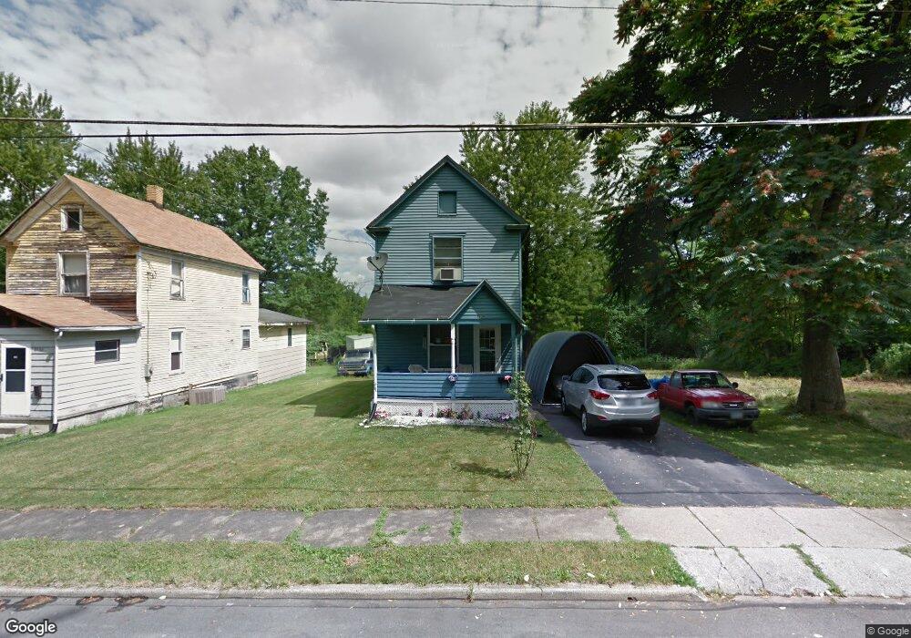
2936 Edgar Ave Youngstown, OH 44505
McGuffey Heights NeighborhoodEstimated Value: $42,000 - $64,000
2
Beds
1
Bath
896
Sq Ft
$59/Sq Ft
Est. Value
About This Home
This home is located at 2936 Edgar Ave, Youngstown, OH 44505 and is currently estimated at $52,616, approximately $58 per square foot. 2936 Edgar Ave is a home located in Mahoning County with nearby schools including M.L. King Elementary School, Williamson Elementary School, and East High School.
Ownership History
Date
Name
Owned For
Owner Type
Purchase Details
Closed on
Apr 29, 2021
Sold by
Mcghee Joyce L
Bought by
Scott Henry B
Current Estimated Value
Purchase Details
Closed on
Jan 6, 2007
Sold by
Faison Marguerite and Tigner Gail F
Bought by
Mcghee Joyce L
Purchase Details
Closed on
Aug 20, 1991
Bought by
Faison Robt and Faison Marguerite
Create a Home Valuation Report for This Property
The Home Valuation Report is an in-depth analysis detailing your home's value as well as a comparison with similar homes in the area
Home Values in the Area
Average Home Value in this Area
Purchase History
| Date | Buyer | Sale Price | Title Company |
|---|---|---|---|
| Scott Henry B | -- | None Available | |
| Mcghee Joyce L | $4,500 | None Available | |
| Faison Robt | -- | -- |
Source: Public Records
Tax History Compared to Growth
Tax History
| Year | Tax Paid | Tax Assessment Tax Assessment Total Assessment is a certain percentage of the fair market value that is determined by local assessors to be the total taxable value of land and additions on the property. | Land | Improvement |
|---|---|---|---|---|
| 2024 | $218 | $4,520 | $510 | $4,010 |
| 2023 | $216 | $4,520 | $510 | $4,010 |
| 2022 | $105 | $1,660 | $440 | $1,220 |
| 2021 | $107 | $1,660 | $440 | $1,220 |
| 2020 | $108 | $1,660 | $440 | $1,220 |
| 2019 | $114 | $1,540 | $410 | $1,130 |
| 2018 | $115 | $1,540 | $410 | $1,130 |
| 2017 | $112 | $1,540 | $410 | $1,130 |
| 2016 | $111 | $1,640 | $410 | $1,230 |
| 2015 | $109 | $1,640 | $410 | $1,230 |
| 2014 | $108 | $1,640 | $410 | $1,230 |
| 2013 | $107 | $1,640 | $410 | $1,230 |
Source: Public Records
Map
Nearby Homes
- 1720 Jacobs Rd
- 1214 Brighton St
- 1003 Liberty Rd
- 2051 Blair Ave
- V/L Jacobs Rd
- 2951 Megan Cir
- 2831 Benford Ln
- 2954 Megan Cir
- 1325 Miami Ave
- 902 Miami St
- 1538 Republic Ave
- 665 Wendemere Dr
- 227 Greeley Ln
- 405 Drake Ave
- 566 Sunshine Ave
- 0 Homestead Rd
- 663 Meadowland Dr
- 366 Westview Ave
- 5843 Fairlawn Ave
- 71 Duncan Ln
- 2930 Edgar Ave
- 2944 Edgar Ave
- 2923 Northwood Ave
- 2939 Edgar Ave
- 2972 Edgar Ave
- 1623 Forest Glen Ave
- 2974 Edgar Ave
- 2930 Northwood Ave
- 2971 Edgar Ave
- 2920 Cantwell Ave
- 2937 Northwood Ave
- 1335 Dundee St
- 2923 Karl St
- 2927 Karl St
- 2950 Northwood Ave
- 2919 Karl St
- 2935 Karl St
- 1348 Burford St
- 2943 Karl St
- 1612 Jacobs Rd