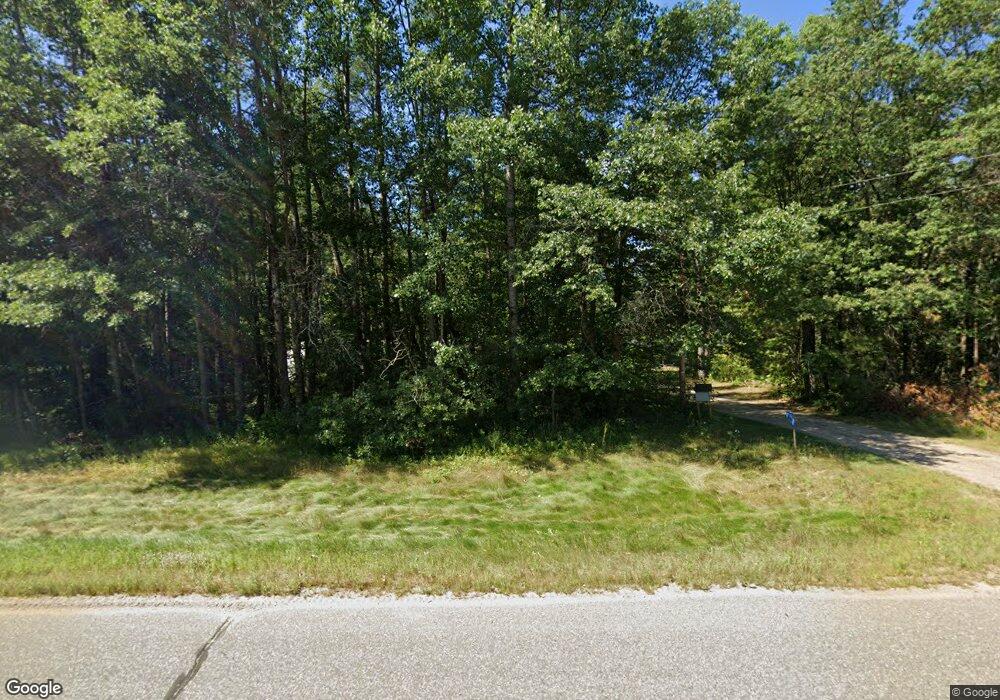
29369 County Road 3 Merrifield, MN 56465
Estimated Value: $284,204 - $1,197,000
3
Beds
2
Baths
1,147
Sq Ft
$528/Sq Ft
Est. Value
About This Home
This home is located at 29369 County Road 3, Merrifield, MN 56465 and is currently estimated at $605,735, approximately $528 per square foot. 29369 County Road 3 is a home located in Crow Wing County with nearby schools including Cuyuna Range Elementary School and Crosby-Ironton Secondary School.
Ownership History
Date
Name
Owned For
Owner Type
Purchase Details
Closed on
Oct 12, 2022
Sold by
Bammann Donald
Bought by
Mahoney Michielle and Myslicki Taylor
Current Estimated Value
Home Financials for this Owner
Home Financials are based on the most recent Mortgage that was taken out on this home.
Original Mortgage
$209,000
Outstanding Balance
$200,575
Interest Rate
5.66%
Mortgage Type
New Conventional
Estimated Equity
$405,160
Purchase Details
Closed on
Jul 1, 1993
Sold by
Johnson Anna S
Bought by
Bammann Donald
Create a Home Valuation Report for This Property
The Home Valuation Report is an in-depth analysis detailing your home's value as well as a comparison with similar homes in the area
Home Values in the Area
Average Home Value in this Area
Purchase History
| Date | Buyer | Sale Price | Title Company |
|---|---|---|---|
| Mahoney Michielle | $210,000 | -- | |
| Bammann Donald | $39,900 | -- |
Source: Public Records
Mortgage History
| Date | Status | Borrower | Loan Amount |
|---|---|---|---|
| Open | Mahoney Michielle | $209,000 |
Source: Public Records
Tax History Compared to Growth
Tax History
| Year | Tax Paid | Tax Assessment Tax Assessment Total Assessment is a certain percentage of the fair market value that is determined by local assessors to be the total taxable value of land and additions on the property. | Land | Improvement |
|---|---|---|---|---|
| 2025 | $426 | $234,800 | $77,000 | $157,800 |
| 2024 | $426 | $223,400 | $74,500 | $148,900 |
| 2023 | $712 | $240,600 | $71,500 | $169,100 |
| 2022 | $598 | $206,400 | $62,600 | $143,800 |
| 2021 | $576 | $151,600 | $45,300 | $106,300 |
| 2020 | $560 | $146,900 | $44,000 | $102,900 |
| 2019 | $600 | $135,300 | $41,900 | $93,400 |
| 2018 | $428 | $136,700 | $43,000 | $93,700 |
| 2017 | $476 | $90,726 | $32,380 | $58,346 |
| 2016 | $470 | $94,200 | $32,700 | $61,500 |
| 2015 | $486 | $92,500 | $32,600 | $59,900 |
| 2014 | $232 | $94,200 | $32,700 | $61,500 |
Source: Public Records
Map
Nearby Homes
- Parcel F SW Horseshoe Lake Rd
- 29750 County Road 3
- 30112 County Road 3
- 13084 Mission Park Dr
- 29655 E Horseshoe Lake Rd
- 30710 Skylark Ln
- TBD Lakeview Ln
- Lot A Sandbar Ln
- 13632 Piney Ln
- Tract C Tract C-Polaris
- Tract B Polaris Ln
- Tract D Polaris Ln
- 26803 Pelican Beach Rd
- 14713 Lazur Ln
- 12124 County Road 118
- 15723 County Road 109
- 13108 Ossipee Rd
- TBD Cr-109
- 26363 County Road 3
- 27181 Ridgewood Dr
- 12956 Morningside Dr
- 12930 Morningside Dr
- 12930 Morningside Dr
- 12972 Morningside Dr
- 13036 SW Horseshoe Lake Rd
- 29418 County Road 3
- 29467 County Road 3
- 12910 Morningside Dr
- 29383 Sanberg Dr
- 12902 Morningside Dr
- 12902 Morningside Dr
- 12902 Morningside Dr
- 12902 Morningside Dr
- 12902 Morningside Dr
- 12902 Morningside Dr
- 12902 Morningside Dr
- 12902 Morningside Dr
- 12902 Morningside Dr
- 12902 Morningside Dr
- 12902 Morningside Dr
