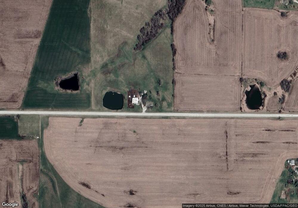
2937 Garst St Osceola, IA 50213
Estimated Value: $216,000 - $376,000
4
Beds
1
Bath
1,566
Sq Ft
$202/Sq Ft
Est. Value
About This Home
This home is located at 2937 Garst St, Osceola, IA 50213 and is currently estimated at $316,679, approximately $202 per square foot. 2937 Garst St is a home located in Clarke County with nearby schools including Clarke Community Elementary School, Clarke Middle School, and Clarke Community High School.
Ownership History
Date
Name
Owned For
Owner Type
Purchase Details
Closed on
Mar 1, 2021
Sold by
Williams and Christine
Bought by
Abbas Tony and Abbas Brandy
Current Estimated Value
Purchase Details
Closed on
May 3, 2011
Sold by
Morris Dennis
Bought by
Abbas Tony L and Abbas Brandy L
Home Financials for this Owner
Home Financials are based on the most recent Mortgage that was taken out on this home.
Original Mortgage
$16,800
Interest Rate
4.86%
Mortgage Type
Future Advance Clause Open End Mortgage
Purchase Details
Closed on
May 19, 2010
Sold by
Cozad Amanda and Cozad Dustin
Bought by
Abbas Tony L and Abbas Brandy L
Home Financials for this Owner
Home Financials are based on the most recent Mortgage that was taken out on this home.
Original Mortgage
$146,520
Interest Rate
5.3%
Mortgage Type
FHA
Create a Home Valuation Report for This Property
The Home Valuation Report is an in-depth analysis detailing your home's value as well as a comparison with similar homes in the area
Home Values in the Area
Average Home Value in this Area
Purchase History
| Date | Buyer | Sale Price | Title Company |
|---|---|---|---|
| Abbas Tony | $63,500 | New Title Company Name | |
| Abbas Tony L | $11,000 | None Available | |
| Abbas Tony L | $155,000 | -- |
Source: Public Records
Mortgage History
| Date | Status | Borrower | Loan Amount |
|---|---|---|---|
| Previous Owner | Abbas Tony L | $16,800 | |
| Previous Owner | Abbas Tony L | $146,520 |
Source: Public Records
Tax History Compared to Growth
Tax History
| Year | Tax Paid | Tax Assessment Tax Assessment Total Assessment is a certain percentage of the fair market value that is determined by local assessors to be the total taxable value of land and additions on the property. | Land | Improvement |
|---|---|---|---|---|
| 2024 | $2,986 | $166,700 | $9,270 | $157,430 |
| 2023 | $3,162 | $166,700 | $9,270 | $157,430 |
| 2022 | $3,162 | $161,030 | $6,950 | $154,080 |
| 2021 | $3,674 | $191,820 | $57,430 | $134,390 |
| 2020 | $3,546 | $191,820 | $57,430 | $134,390 |
| 2019 | $3,404 | $174,240 | $0 | $0 |
| 2018 | $3,312 | $174,240 | $0 | $0 |
Source: Public Records
Map
Nearby Homes
- TBD 330th Ave
- 00 330th Ave
- TBD 330th Ave
- 700 Sherman St
- 3135 U S 34
- 3135 Hwy 34
- Tbd Idaho St
- 1991 260th Ave
- 3113 Mormon Trail
- Tbd 330th Ave Woodburn Unit IA 50275
- Tbd 330th Ave Woodburn Unit IA 50275
- 703 Southern Hills Dr
- 0 270th Ave
- 102 Country Club Dr
- 209 Manor Dr
- 108 Golfview Dr
- 107 Golfview Dr
- 105 Golfview Dr
- 2431 Kendall St
- 2013 Highway 69
