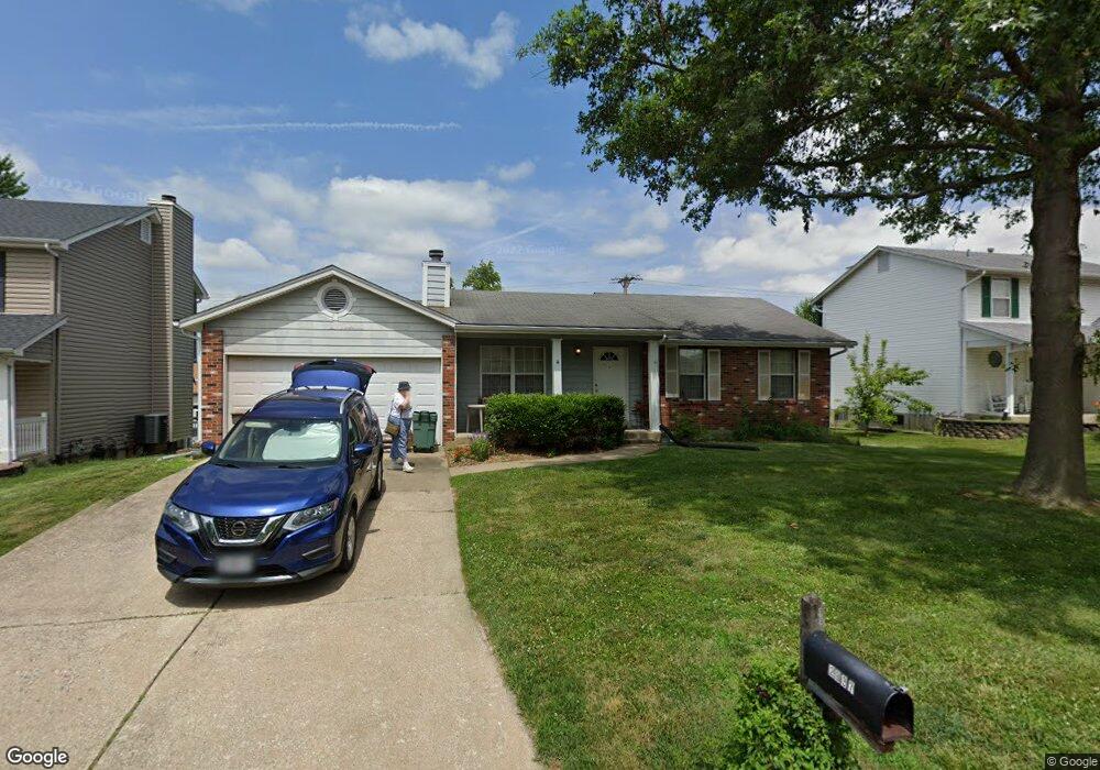
2937 White Stable Dr O Fallon, MO 63368
O'Fallon AreaEstimated Value: $270,000 - $310,000
3
Beds
2
Baths
1,000
Sq Ft
$292/Sq Ft
Est. Value
About This Home
This home is located at 2937 White Stable Dr, O Fallon, MO 63368 and is currently estimated at $291,988, approximately $291 per square foot. 2937 White Stable Dr is a home located in St. Charles County with nearby schools including Pheasant Point Elementary School, Fort Zumwalt South Middle School, and Fort Zumwalt South High School.
Create a Home Valuation Report for This Property
The Home Valuation Report is an in-depth analysis detailing your home's value as well as a comparison with similar homes in the area
Home Values in the Area
Average Home Value in this Area
Tax History
We collect this data history from publicly available records. To have your information removed, we recommend requesting removal directly through your county’s website.
| Year | Tax Paid | Tax Assessment Tax Assessment Total Assessment is a certain percentage of the fair market value that is determined by local assessors to be the total taxable value of land and additions on the property. | Land | Improvement |
|---|---|---|---|---|
| 2025 | $2,760 | $43,915 | ||
| 2023 | $2,762 | $41,730 | $0 | $0 |
| 2022 | $2,370 | $33,320 | $0 | $0 |
| 2021 | $2,376 | $33,320 | $0 | $0 |
| 2020 | $2,181 | $29,448 | $0 | $0 |
| 2019 | $2,186 | $29,448 | $0 | $0 |
| 2018 | $2,191 | $28,247 | $0 | $0 |
| 2017 | $2,151 | $28,247 | $0 | $0 |
| 2016 | $1,877 | $23,668 | $0 | $0 |
| 2015 | $1,750 | $23,668 | $0 | $0 |
| 2014 | $1,795 | $23,956 | $0 | $0 |
Source: Public Records
Map
Nearby Homes
- 1153 Spring Orchard Dr
- 1306 Avondale Spring Dr
- 6432 Sprucefield Dr
- 6523 Star Buck Dr
- 6402 High Meadow Dr
- 66 Jacqueline Cir
- 8 Jacqueline Cir
- 28 Twinleaf Ct
- 118 Fallon Villa Ct
- 114 Fallon Villa Ct
- 110 Fallon Villa Ct
- 1703 Jacobs Pillow Dr
- 229 Coachman Way
- 28 Jacobs Ct W
- 7 Red Cedar Parc Ct
- 204 Jacobs Way
- 53 Lions Head Ct
- 149 Lamplighter Way
- 605 Castlebrook Dr
- 2829 Royallvalley Way
- 2933 White Stable Dr
- 2929 White Stable Dr
- 1042 Golden Orchard Dr
- 1044 Golden Orchard Dr
- 2941 White Stable Dr
- 1040 Golden Orchard Dr
- 2925 White Stable Dr
- 2932 White Stable Dr
- 1046 Golden Orchard Dr
- 1046 Golden Orchard Dr
- 1046 Golden Orchard Dr
- 2936 White Stable Dr
- 1038 Golden Orchard Dr
- 2945 White Stable Dr
- 2921 White Stable Dr
- 6447 Windy Wheat Dr
- 2942 White Stable Dr
- 1048 Golden Orchard Dr
- 6444 Windy Wheat Dr
- 1036 Golden Orchard Dr
Your Personal Tour Guide
Ask me questions while you tour the home.