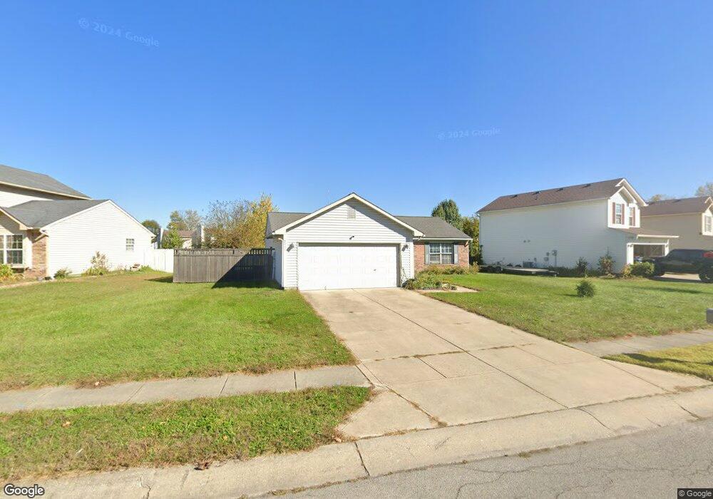
2938 Driving Wind Way Indianapolis, IN 46268
Augusta NeighborhoodEstimated Value: $221,000 - $240,000
3
Beds
1
Bath
1,124
Sq Ft
$208/Sq Ft
Est. Value
About This Home
This home is located at 2938 Driving Wind Way, Indianapolis, IN 46268 and is currently estimated at $234,281, approximately $208 per square foot. 2938 Driving Wind Way is a home located in Marion County with nearby schools including Pike High School, The Children's House, and St. Monica Catholic School.
Ownership History
Date
Name
Owned For
Owner Type
Purchase Details
Closed on
Jul 19, 2006
Sold by
Solomon Tracey A
Bought by
Solomon Tracey A
Current Estimated Value
Home Financials for this Owner
Home Financials are based on the most recent Mortgage that was taken out on this home.
Original Mortgage
$93,600
Outstanding Balance
$60,450
Interest Rate
8.3%
Mortgage Type
Adjustable Rate Mortgage/ARM
Estimated Equity
$173,831
Create a Home Valuation Report for This Property
The Home Valuation Report is an in-depth analysis detailing your home's value as well as a comparison with similar homes in the area
Home Values in the Area
Average Home Value in this Area
Purchase History
| Date | Buyer | Sale Price | Title Company |
|---|---|---|---|
| Solomon Tracey A | -- | None Available |
Source: Public Records
Mortgage History
| Date | Status | Borrower | Loan Amount |
|---|---|---|---|
| Open | Solomon Tracey A | $93,600 |
Source: Public Records
Tax History Compared to Growth
Tax History
| Year | Tax Paid | Tax Assessment Tax Assessment Total Assessment is a certain percentage of the fair market value that is determined by local assessors to be the total taxable value of land and additions on the property. | Land | Improvement |
|---|---|---|---|---|
| 2024 | $2,059 | $190,400 | $37,600 | $152,800 |
| 2023 | $2,059 | $195,300 | $37,600 | $157,700 |
| 2022 | $1,634 | $171,500 | $37,600 | $133,900 |
| 2021 | $1,522 | $142,000 | $19,100 | $122,900 |
| 2020 | $1,304 | $124,200 | $19,100 | $105,100 |
| 2019 | $1,175 | $116,900 | $19,100 | $97,800 |
| 2018 | $950 | $102,000 | $19,100 | $82,900 |
| 2017 | $876 | $97,800 | $19,100 | $78,700 |
| 2016 | $891 | $98,700 | $19,100 | $79,600 |
| 2014 | $628 | $87,900 | $19,100 | $68,800 |
| 2013 | $545 | $82,700 | $19,100 | $63,600 |
Source: Public Records
Map
Nearby Homes
- 6485 Hazelhatch Dr
- 6407 Kelsey Dr
- 3147 Waterloo Dr
- 3153 Kelsey Cir
- 6357 Hollingsworth Dr
- 6422 Hollingsworth Dr
- 6711 Crestwell Ln
- 6501 N Tremont St
- 2217 Riviera St
- 3123 Bretton Ct
- 2530 Lincoln Ln
- 3560 W 62nd St
- 2064 Riviera St
- 6130 King Ave
- 2002 Mayfair Dr
- 6038 Estate Ave
- 2009 W 63rd St
- 1949 Riviera St
- 7320 Highland Rd
- 3304 W Northgate Dr
- 2928 Driving Wind Way
- 2948 Driving Wind Way
- 2922 Driving Wind Way
- 2956 Driving Wind Way
- 6466 Townsend Way
- 6462 Townsend Way
- 2916 Driving Wind Way
- 2933 Driving Wind Way
- 6437 Amick Way
- 2939 Driving Wind Way
- 2927 Driving Wind Way
- 6458 Townsend Way
- 6431 Kirch Ct
- 6472 Townsend Way
- 2945 Driving Wind Way
- 2921 Driving Wind Way
- 2910 Driving Wind Way
- 6447 Amick Way
- 2915 Driving Wind Way
- 6452 Townsend Way