29381 State Route 83 Coshocton, OH 43812
Estimated Value: $325,000 - $506,002
4
Beds
3
Baths
2,919
Sq Ft
$134/Sq Ft
Est. Value
About This Home
This home is located at 29381 State Route 83, Coshocton, OH 43812 and is currently estimated at $389,751, approximately $133 per square foot. 29381 State Route 83 is a home located in Coshocton County with nearby schools including River View High School.
Ownership History
Date
Name
Owned For
Owner Type
Purchase Details
Closed on
May 22, 2009
Sold by
The Bank Of New York Mellon
Bought by
Werntz Christopher and Werntz Nikole
Current Estimated Value
Home Financials for this Owner
Home Financials are based on the most recent Mortgage that was taken out on this home.
Original Mortgage
$151,851
Outstanding Balance
$95,943
Interest Rate
4.85%
Mortgage Type
Assumption
Estimated Equity
$293,808
Purchase Details
Closed on
Oct 14, 2008
Sold by
Kulmala Celia A
Bought by
The Bank Of New York Mellon and The Bank Of New York
Purchase Details
Closed on
Dec 13, 1999
Bought by
Kulmala Randall M
Purchase Details
Closed on
Dec 14, 1998
Bought by
Detweiler J J Enterprises Inc
Create a Home Valuation Report for This Property
The Home Valuation Report is an in-depth analysis detailing your home's value as well as a comparison with similar homes in the area
Home Values in the Area
Average Home Value in this Area
Purchase History
| Date | Buyer | Sale Price | Title Company |
|---|---|---|---|
| Werntz Christopher | $72,000 | None Available | |
| The Bank Of New York Mellon | $140,000 | None Available | |
| Kulmala Randall M | $49,500 | -- | |
| Detweiler J J Enterprises Inc | -- | -- |
Source: Public Records
Mortgage History
| Date | Status | Borrower | Loan Amount |
|---|---|---|---|
| Open | Werntz Christopher | $151,851 |
Source: Public Records
Tax History Compared to Growth
Tax History
| Year | Tax Paid | Tax Assessment Tax Assessment Total Assessment is a certain percentage of the fair market value that is determined by local assessors to be the total taxable value of land and additions on the property. | Land | Improvement |
|---|---|---|---|---|
| 2024 | $3,927 | $112,810 | $34,830 | $77,980 |
| 2023 | $3,927 | $91,462 | $23,296 | $68,166 |
| 2022 | $3,411 | $91,462 | $23,296 | $68,166 |
| 2021 | $3,412 | $91,462 | $23,296 | $68,166 |
| 2020 | $3,050 | $81,316 | $23,342 | $57,974 |
| 2019 | $3,121 | $81,316 | $23,342 | $57,974 |
| 2018 | $2,894 | $81,316 | $23,342 | $57,974 |
| 2017 | $2,764 | $73,109 | $19,898 | $53,211 |
| 2016 | $2,618 | $73,109 | $19,898 | $53,211 |
| 2015 | $1,309 | $73,109 | $19,898 | $53,211 |
| 2014 | $2,377 | $66,546 | $14,371 | $52,175 |
Source: Public Records
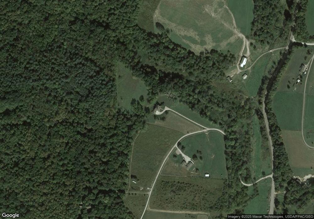
Map
Nearby Homes
- 28427 Ohio 83
- 0 County Road 1
- 26938 County Road 1
- 26929 County Road 1
- 27892 County Road 25
- 30945 County Road 126
- 32469 Township Road 219
- 0 Township Road 219
- 0 Township Road 219
- 30410 Ohio 60
- 31509 Township Road 227
- 24272 Township Road 1169
- 23900 Airport Rd
- 26405 Township Road 1152
- 27858 Township Road 31
- 23749 County Road 621
- 230 Rivercrest Dr
- 217 E Liberty St
- 1910 Susten Dr
- 23226 Township Road #1194
- 29325 State Route 83
- 29325 State Route 83 Unit 2
- 29285 Sr 83
- 29285 State Route 83
- 29051 State Route 83
- 29161 State Route 83
- 29021 State Route 83
- 29392 Township Road 209
- 29252 State Route 83
- 29021 Ohio 83
- 29418 Township Road 209
- 29178 State Route 83
- 29120 State Route 83
- 29448 Tr 209
- 28990 Ohio 83
- 28990 State Route 83 Unit 83
- 28990 State Route 83
- 28981 State Route 83
- 28901 State Route 83
- 29556 Township Road 209