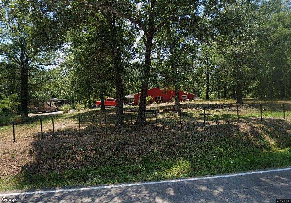
29391 N Highway 133 Richland, MO 65556
Estimated Value: $170,000 - $267,000
4
Beds
3
Baths
2,736
Sq Ft
$84/Sq Ft
Est. Value
About This Home
This home is located at 29391 N Highway 133, Richland, MO 65556 and is currently estimated at $230,019, approximately $84 per square foot. 29391 N Highway 133 is a home located in Pulaski County with nearby schools including Richland Elementary School, Richland Jr. High School, and Richland High School.
Ownership History
Date
Name
Owned For
Owner Type
Purchase Details
Closed on
Feb 8, 2010
Sold by
Deutsche Bank National Trust Company
Bought by
Posten Roy E and Posten Patricia J
Current Estimated Value
Purchase Details
Closed on
Feb 9, 2006
Sold by
Simkins David L and Simkins Mary K
Bought by
Stafford Steven and Stafford Valerie
Home Financials for this Owner
Home Financials are based on the most recent Mortgage that was taken out on this home.
Original Mortgage
$81,396
Interest Rate
6.45%
Mortgage Type
Adjustable Rate Mortgage/ARM
Create a Home Valuation Report for This Property
The Home Valuation Report is an in-depth analysis detailing your home's value as well as a comparison with similar homes in the area
Home Values in the Area
Average Home Value in this Area
Purchase History
| Date | Buyer | Sale Price | Title Company |
|---|---|---|---|
| Posten Roy E | -- | None Available | |
| Stafford Steven | -- | None Available |
Source: Public Records
Mortgage History
| Date | Status | Borrower | Loan Amount |
|---|---|---|---|
| Previous Owner | Stafford Steven | $81,396 |
Source: Public Records
Tax History Compared to Growth
Tax History
| Year | Tax Paid | Tax Assessment Tax Assessment Total Assessment is a certain percentage of the fair market value that is determined by local assessors to be the total taxable value of land and additions on the property. | Land | Improvement |
|---|---|---|---|---|
| 2024 | $764 | $19,456 | $1,900 | $17,556 |
| 2023 | $761 | $19,456 | $1,900 | $17,556 |
| 2022 | $759 | $19,456 | $1,900 | $17,556 |
| 2021 | $755 | $19,456 | $1,900 | $17,556 |
| 2020 | $727 | $20,721 | $0 | $0 |
| 2019 | $727 | $18,620 | $0 | $0 |
| 2018 | $726 | $18,620 | $0 | $0 |
| 2017 | $726 | $20,721 | $0 | $0 |
| 2016 | $726 | $18,620 | $0 | $0 |
| 2015 | -- | $18,620 | $0 | $0 |
| 2014 | $666 | $18,620 | $0 | $0 |
Source: Public Records
Map
Nearby Homes
- 709 Dublin Ln
- 907 Belshe Ave
- 815 N Pine St
- 608 Cedar St
- 304 Warren St
- 104 E Jefferson Ave
- 504 N Pine St
- 402 N Chestnut St
- 200 Mildred St
- 20955 Rye Ln
- 501 Hillvale Ave
- 501 Hillvale Dr
- 000 Missouri 7
- 23013 Rock Bluff Dr
- 23288 Rock Bluff Dr
- 218 Francis St
- 605 W Washington Ave
- 22798 River View Dr
- 000 Anderson Rd
- 000 County Road A-100