29399 SE Stone Rd Gresham, OR 97080
Sandy River NeighborhoodEstimated Value: $704,000 - $867,370
3
Beds
3
Baths
2,050
Sq Ft
$389/Sq Ft
Est. Value
About This Home
This home is located at 29399 SE Stone Rd, Gresham, OR 97080 and is currently estimated at $798,123, approximately $389 per square foot. 29399 SE Stone Rd is a home located in Multnomah County with nearby schools including East Orient Elementary School, West Orient Middle School, and Sam Barlow High School.
Ownership History
Date
Name
Owned For
Owner Type
Purchase Details
Closed on
Apr 17, 2001
Sold by
Mcgaughey William D and Mcgaughey Patricia A
Bought by
Childress Anthony R and Childress Kathleen S
Current Estimated Value
Home Financials for this Owner
Home Financials are based on the most recent Mortgage that was taken out on this home.
Original Mortgage
$220,000
Outstanding Balance
$79,868
Interest Rate
6.98%
Estimated Equity
$718,255
Create a Home Valuation Report for This Property
The Home Valuation Report is an in-depth analysis detailing your home's value as well as a comparison with similar homes in the area
Home Values in the Area
Average Home Value in this Area
Purchase History
| Date | Buyer | Sale Price | Title Company |
|---|---|---|---|
| Childress Anthony R | $310,000 | Pacific Nw Title |
Source: Public Records
Mortgage History
| Date | Status | Borrower | Loan Amount |
|---|---|---|---|
| Open | Childress Anthony R | $220,000 |
Source: Public Records
Tax History
| Year | Tax Paid | Tax Assessment Tax Assessment Total Assessment is a certain percentage of the fair market value that is determined by local assessors to be the total taxable value of land and additions on the property. | Land | Improvement |
|---|---|---|---|---|
| 2025 | $8,529 | $467,960 | -- | -- |
| 2024 | $8,151 | $454,340 | -- | -- |
| 2023 | $8,151 | $441,110 | -- | -- |
| 2022 | $7,747 | $428,270 | $0 | $0 |
| 2021 | $7,554 | $415,800 | $0 | $0 |
| 2020 | $7,098 | $403,690 | $0 | $0 |
| 2019 | $6,913 | $391,940 | $0 | $0 |
| 2018 | $6,586 | $380,521 | $0 | $0 |
| 2017 | $5,873 | $341,800 | $0 | $0 |
| 2016 | $5,155 | $333,580 | $0 | $0 |
| 2015 | $5,045 | $323,820 | $0 | $0 |
| 2014 | $4,870 | $314,430 | $0 | $0 |
Source: Public Records
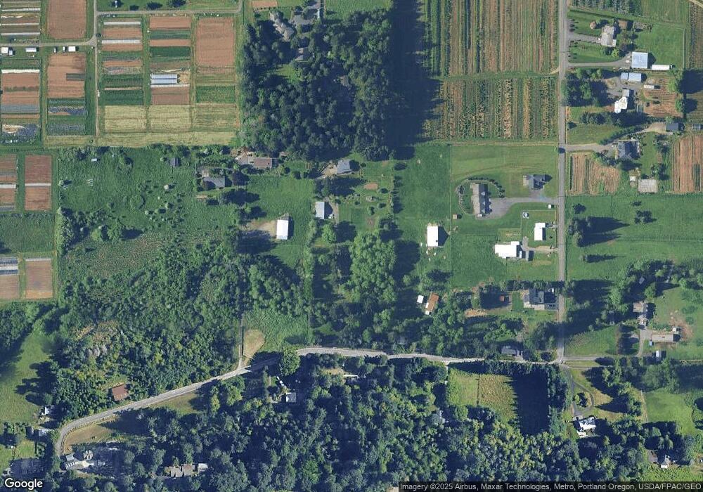
Map
Nearby Homes
- 30148 SE Bluff Rd
- 29740 SE Roork Rd
- 30185 SE Wheeler Rd
- 6140 SE 23rd St
- 29630 SE Wheeler Rd
- 6366 SE 33rd Way
- 28131 SE Orient Dr
- 8105 SE 282nd Ave
- 9435 SE 282nd Ave
- 2780 SE Teal Ave
- 2766 SE Teal Ave
- 6055 SE 28th St
- 27238 SE Carl St
- 30425 SE Haley Rd
- 30125 SE Chase Rd
- 8140 SE Pleasant Home Rd
- 6443 SE 22nd St
- 6421 SE 22nd St
- 2404 SE Jasmine Way
- 7830 SE 267th Ave
- 29334 SE Orient Dr
- 29243 SE Stone Rd
- 8115 SE Short Rd
- 7802 SE 293rd Place
- 29306 SE Orient Dr
- 29425 SE Stone Rd
- 8137 SE Short Rd
- 8105 SE Short Rd
- 29408 SE Stone Rd
- 29619 SE Stone Rd
- 29300 SE Stone Rd
- 7705 SE Short Rd
- 29518 SE Stone Rd
- 8024 SE Short Rd
- 29110 SE Orient Dr
- 7840 SE Short Rd
- 29262 SE Stone Rd
- 29139 SE Stone Rd
- 8380 SE Short Rd
- 29142 SE Stone Rd
Your Personal Tour Guide
Ask me questions while you tour the home.