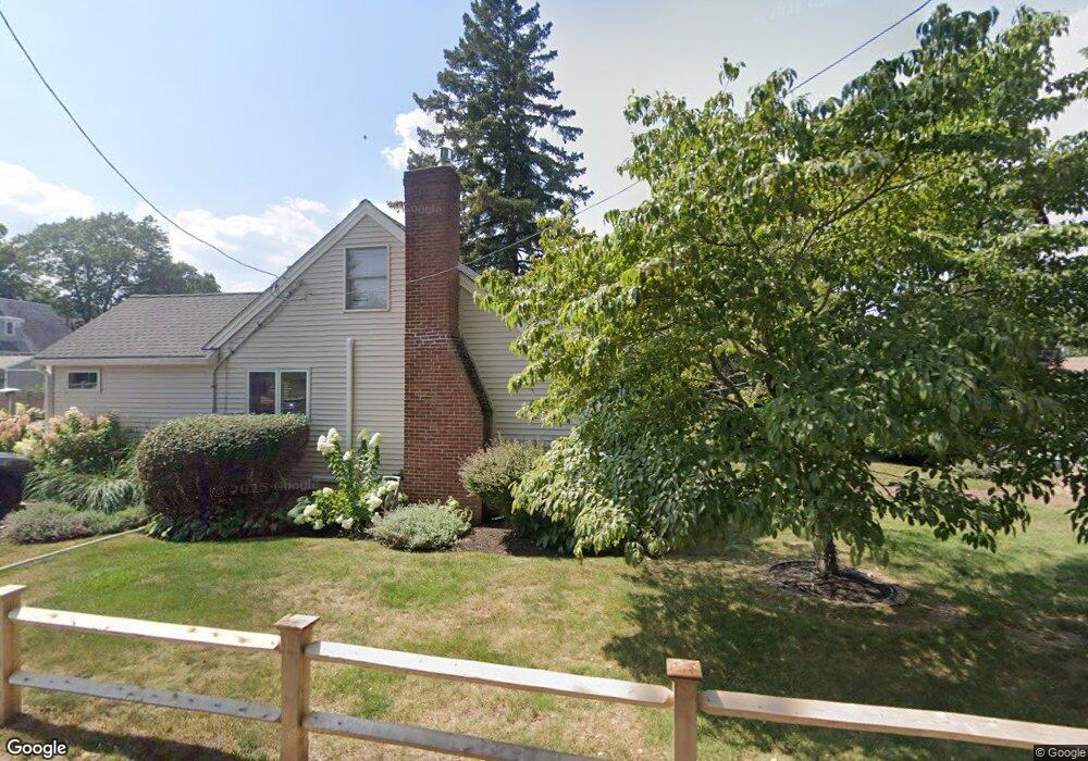
294 Asbury St South Hamilton, MA 01982
Estimated Value: $643,000 - $789,000
3
Beds
2
Baths
1,119
Sq Ft
$638/Sq Ft
Est. Value
About This Home
This home is located at 294 Asbury St, South Hamilton, MA 01982 and is currently estimated at $714,190, approximately $638 per square foot. 294 Asbury St is a home located in Essex County with nearby schools including Winthrop School, Cutler Elementary School, and Bessie Buker Elementary School.
Ownership History
Date
Name
Owned For
Owner Type
Purchase Details
Closed on
May 23, 2011
Sold by
Bruce William E and Bruce Kathleen A
Bought by
Morrison Kimberly S
Current Estimated Value
Home Financials for this Owner
Home Financials are based on the most recent Mortgage that was taken out on this home.
Original Mortgage
$284,050
Interest Rate
4.88%
Mortgage Type
Purchase Money Mortgage
Purchase Details
Closed on
Aug 8, 2005
Sold by
Gallina Gina and Gallina William
Bought by
Bruce William E H
Purchase Details
Closed on
May 29, 2002
Sold by
Wosepka Kent J and Wosepka Lara
Bought by
Gallina William and Gallina Gina
Purchase Details
Closed on
Apr 30, 1999
Sold by
Flint David and Flint Janice A
Bought by
Wosepka Kent J and Wosepka Lara K
Purchase Details
Closed on
Sep 1, 1998
Sold by
Grandmasion Patricia and Hossfield Linda
Bought by
Flint David and Flint Janice A
Create a Home Valuation Report for This Property
The Home Valuation Report is an in-depth analysis detailing your home's value as well as a comparison with similar homes in the area
Home Values in the Area
Average Home Value in this Area
Purchase History
| Date | Buyer | Sale Price | Title Company |
|---|---|---|---|
| Morrison Kimberly S | $299,000 | -- | |
| Bruce William E H | $415,000 | -- | |
| Gallina William | $345,000 | -- | |
| Wosepka Kent J | $239,000 | -- | |
| Flint David | $110,000 | -- |
Source: Public Records
Mortgage History
| Date | Status | Borrower | Loan Amount |
|---|---|---|---|
| Open | Flint David | $280,000 | |
| Closed | Flint David | $284,050 |
Source: Public Records
Tax History Compared to Growth
Tax History
| Year | Tax Paid | Tax Assessment Tax Assessment Total Assessment is a certain percentage of the fair market value that is determined by local assessors to be the total taxable value of land and additions on the property. | Land | Improvement |
|---|---|---|---|---|
| 2025 | $8,676 | $554,400 | $261,400 | $293,000 |
| 2024 | $8,261 | $546,700 | $261,400 | $285,300 |
| 2023 | $7,984 | $488,600 | $242,300 | $246,300 |
| 2022 | $7,690 | $430,100 | $218,500 | $211,600 |
| 2021 | $7,438 | $424,800 | $218,500 | $206,300 |
| 2020 | $6,600 | $388,700 | $219,500 | $169,200 |
| 2019 | $6,262 | $380,000 | $213,100 | $166,900 |
| 2018 | $5,737 | $353,700 | $201,100 | $152,600 |
| 2017 | $5,621 | $334,400 | $188,000 | $146,400 |
| 2016 | $5,435 | $315,100 | $172,400 | $142,700 |
| 2015 | $5,173 | $302,700 | $164,200 | $138,500 |
| 2014 | $5,124 | $294,500 | $167,800 | $126,700 |
Source: Public Records
Map
Nearby Homes
- 211 Linden St
- 88 Maple St
- 155 Woodland Mead
- 17 Canter Brook Ln Unit 17
- NHN Hamilton Heights
- 315 Lake Dr
- 232 Lake Dr
- 45 Willow St
- 115 Pleasant St
- 45 Walnut Rd
- 169 Main St
- 92 Pleasant St
- 18 Larch Row
- 2 Lily Ln
- 0 Meyer Ln
- 98 Main St
- 173 Miles River Rd
- 16 Pine Hill Rd Unit 16
- 161 Bridge St
- 231 Larch Row