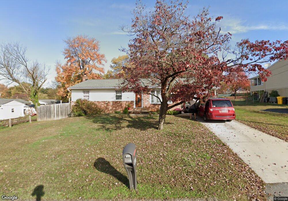
294 Forest Ln Arnold, MD 21012
Estimated Value: $467,234 - $545,000
Studio
2
Baths
1,474
Sq Ft
$339/Sq Ft
Est. Value
About This Home
This home is located at 294 Forest Ln, Arnold, MD 21012 and is currently estimated at $499,559, approximately $338 per square foot. 294 Forest Ln is a home located in Anne Arundel County with nearby schools including Belvedere Elementary School, Severn River Middle School, and Broadneck High School.
Ownership History
Date
Name
Owned For
Owner Type
Purchase Details
Closed on
Oct 31, 2011
Sold by
Wolfe David G and Wolfe Florence B
Bought by
Baker Jason N
Current Estimated Value
Home Financials for this Owner
Home Financials are based on the most recent Mortgage that was taken out on this home.
Original Mortgage
$192,000
Outstanding Balance
$130,862
Interest Rate
4.01%
Mortgage Type
New Conventional
Estimated Equity
$368,697
Purchase Details
Closed on
Nov 7, 1980
Bought by
Wolfe David G
Home Financials for this Owner
Home Financials are based on the most recent Mortgage that was taken out on this home.
Original Mortgage
$42,000
Interest Rate
14.08%
Create a Home Valuation Report for This Property
The Home Valuation Report is an in-depth analysis detailing your home's value as well as a comparison with similar homes in the area
Home Values in the Area
Average Home Value in this Area
Purchase History
| Date | Buyer | Sale Price | Title Company |
|---|---|---|---|
| Baker Jason N | $12,000,000 | Atlantic Coast Title Inc | |
| Wolfe David G | $61,900 | -- |
Source: Public Records
Mortgage History
| Date | Status | Borrower | Loan Amount |
|---|---|---|---|
| Open | Baker Jason N | $192,000 | |
| Previous Owner | Wolfe David G | $42,000 |
Source: Public Records
Tax History
| Year | Tax Paid | Tax Assessment Tax Assessment Total Assessment is a certain percentage of the fair market value that is determined by local assessors to be the total taxable value of land and additions on the property. | Land | Improvement |
|---|---|---|---|---|
| 2025 | $4,076 | $383,767 | -- | -- |
| 2024 | $4,076 | $367,800 | $237,600 | $130,200 |
| 2023 | $3,956 | $350,667 | $0 | $0 |
| 2022 | $3,688 | $333,533 | $0 | $0 |
| 2020 | $3,509 | $309,633 | $0 | $0 |
| 2019 | $3,450 | $302,867 | $0 | $0 |
| 2018 | $3,002 | $296,100 | $166,900 | $129,200 |
| 2017 | $3,244 | $287,100 | $0 | $0 |
| 2016 | -- | $278,100 | $0 | $0 |
| 2015 | -- | $269,100 | $0 | $0 |
| 2014 | -- | $269,100 | $0 | $0 |
Source: Public Records
Map
Nearby Homes
- 785 Macsherry Dr
- 1078 Brightleaf Ct
- 243 and 245 Haverton Rd
- 303 Ternwing Dr
- 394 Kings College Dr
- 813 Mago Vista Rd
- 276 Overleaf Dr
- 797 David Dr
- 404 Alameda Pkwy
- 836 Mill Creek Rd
- 201 Mill Ct
- 93 Jones Station Rd
- 539 Greenblades Ct
- 127 Cresston Rd
- 1159 Greenhill Rd
- 559 Melissa Ct
- 889 Lynch Dr
- 1232 Taylor Ave
- 1277 Ritchie Hwy Unit 195
- 1199 Asquithpines Place
- 290 Forest Ln
- 913 Mago Vista Rd
- 911 Mago Vista Rd
- 813 Windsor Rd
- 811 Windsor Rd
- 815 Windsor Rd
- 917 Mago Vista Rd
- 909 Mago Vista Rd
- 817 Windsor Rd
- 919 Mago Vista Rd
- 809 Windsor Rd
- 807 Windsor Rd
- 916 Mago Vista Rd
- 223 Dauntsey Dr
- 907 Mago Vista Rd
- 819 Windsor Rd
- 914 Mago Vista Rd
- 920 Mago Vista Rd
- 816 Windsor Rd
- 814 Windsor Rd
Your Personal Tour Guide
Ask me questions while you tour the home.