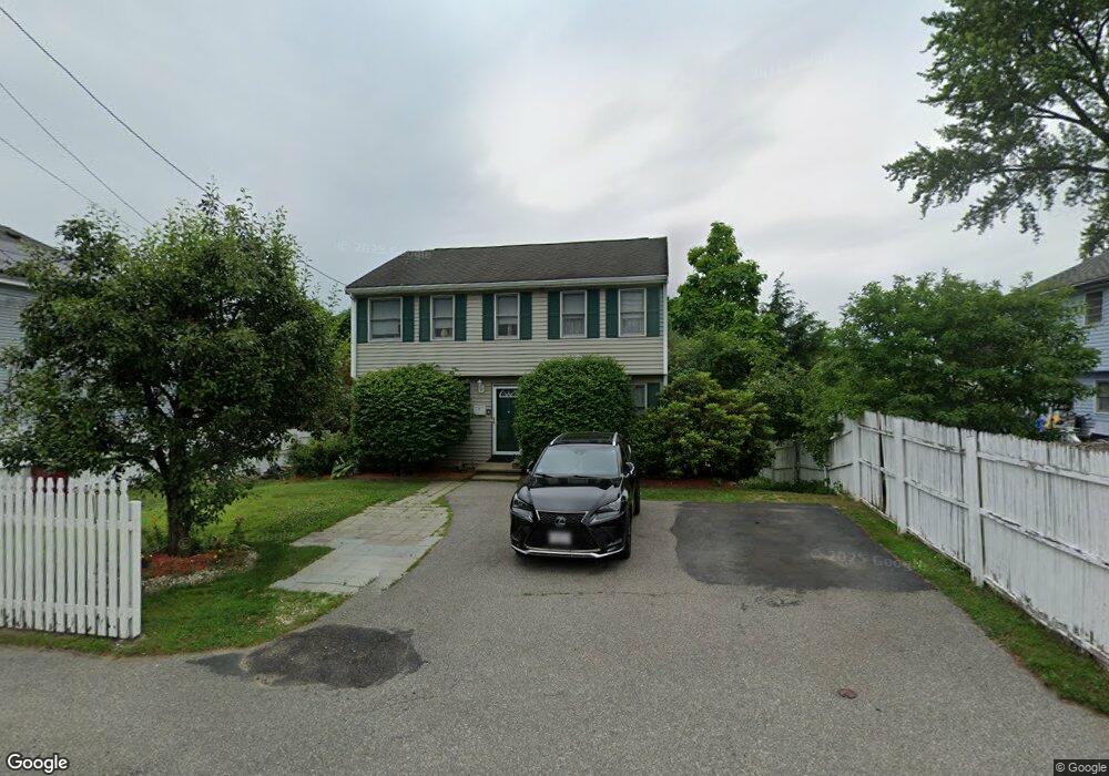
294 Mammoth Rd Lowell, MA 01854
Pawtucketville NeighborhoodEstimated Value: $454,000 - $589,000
3
Beds
2
Baths
1,752
Sq Ft
$311/Sq Ft
Est. Value
About This Home
This home is located at 294 Mammoth Rd, Lowell, MA 01854 and is currently estimated at $544,280, approximately $310 per square foot. 294 Mammoth Rd is a home located in Middlesex County with nearby schools including Joseph McAvinnue Elementary School, Charlotte M. Murkland Elementary School, and Charles W. Morey Elementary School.
Ownership History
Date
Name
Owned For
Owner Type
Purchase Details
Closed on
Nov 15, 1995
Sold by
Cdc Rt and Cormier Colleen
Bought by
Tan Meoun and Tan Rose
Current Estimated Value
Home Financials for this Owner
Home Financials are based on the most recent Mortgage that was taken out on this home.
Original Mortgage
$110,100
Interest Rate
7.53%
Mortgage Type
Purchase Money Mortgage
Create a Home Valuation Report for This Property
The Home Valuation Report is an in-depth analysis detailing your home's value as well as a comparison with similar homes in the area
Home Values in the Area
Average Home Value in this Area
Purchase History
| Date | Buyer | Sale Price | Title Company |
|---|---|---|---|
| Tan Meoun | $115,900 | -- | |
| Tan Meoun | $115,900 | -- |
Source: Public Records
Mortgage History
| Date | Status | Borrower | Loan Amount |
|---|---|---|---|
| Open | Tan Meoun | $150,000 | |
| Closed | Tan Meoun | $108,500 | |
| Closed | Tan Meoun | $110,100 |
Source: Public Records
Tax History
| Year | Tax Paid | Tax Assessment Tax Assessment Total Assessment is a certain percentage of the fair market value that is determined by local assessors to be the total taxable value of land and additions on the property. | Land | Improvement |
|---|---|---|---|---|
| 2025 | $5,487 | $478,000 | $166,600 | $311,400 |
| 2024 | $5,312 | $446,000 | $134,400 | $311,600 |
| 2023 | $4,936 | $397,400 | $109,700 | $287,700 |
| 2022 | $4,403 | $347,000 | $97,200 | $249,800 |
| 2021 | $4,119 | $306,000 | $84,500 | $221,500 |
| 2020 | $4,326 | $323,800 | $109,300 | $214,500 |
| 2019 | $4,138 | $294,700 | $96,000 | $198,700 |
| 2018 | $3,827 | $275,800 | $91,400 | $184,400 |
| 2017 | $3,833 | $256,900 | $83,100 | $173,800 |
| 2016 | $3,857 | $254,400 | $80,900 | $173,500 |
| 2015 | $3,601 | $232,600 | $77,400 | $155,200 |
| 2013 | $3,401 | $226,600 | $85,500 | $141,100 |
Source: Public Records
Map
Nearby Homes
- 105 Columbia Rd
- 30 4th Ave
- 1400 Skyline Dr Unit 6
- 81 4th Ave
- 89 Mammoth Rd
- 104 Woodward Ave
- 101 Dracut St
- 38 Starbird St
- 187 Varnum Ave
- 67 Glennon Ave
- 109 Navy Yard Rd
- 28 Sarah Ave
- 39 Phoebe Ave
- 15 Barbara St
- 101 Donohue Rd Unit 19
- 94 Hampson St
- 79 School St Unit 4
- 248 Acropolis Rd
- 57 Wannalancit St Unit 6
- 57 Wannalancit St Unit 11
- 288 Mammoth Rd Unit 288
- 15 Tolman Ave
- 284 Mammoth Rd
- 12 Chase Ave
- 4 Chase Ave
- 19 Tolman Ave
- 22 Chase Ave
- 314 Mammoth Rd
- 266 Mammoth Rd
- 275 Mammoth Rd
- 301 Mammoth Rd Unit 1
- 301 Mammoth Rd Unit 7
- 301 Mammoth Rd Unit 9
- 301 Mammoth Rd Unit 4
- 301 Mammoth Rd Unit 6
- 301 Mammoth Rd Unit 8
- 301 Mammoth Rd Unit 5
- 301 Mammoth Rd Unit 3
- 301 Mammoth Rd Unit 2
- 301 Mammoth Rd Unit 6 301
Your Personal Tour Guide
Ask me questions while you tour the home.