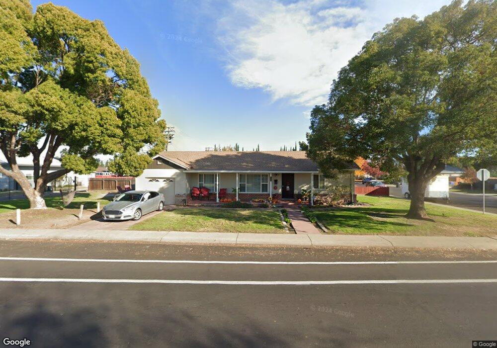
294 S Powers Ave Manteca, CA 95336
Downtown Manteca NeighborhoodEstimated Value: $391,587 - $415,000
3
Beds
1
Bath
1,118
Sq Ft
$363/Sq Ft
Est. Value
About This Home
This home is located at 294 S Powers Ave, Manteca, CA 95336 and is currently estimated at $405,397, approximately $362 per square foot. 294 S Powers Ave is a home located in San Joaquin County with nearby schools including Lincoln Elementary School, Manteca High School, and St. Anthony's Catholic School.
Ownership History
Date
Name
Owned For
Owner Type
Purchase Details
Closed on
Nov 5, 2009
Sold by
Brodehl Bettye and Brodehl Bettye M
Bought by
Brodehl Bettye and Bettye Brodehl Revocable Trust
Current Estimated Value
Purchase Details
Closed on
Nov 4, 2008
Sold by
City Of Manteca
Bought by
Siprelle Olive P
Purchase Details
Closed on
Jan 14, 1997
Sold by
Siprelle Olive P
Bought by
Siprelle Olive P and Brodehl Bettye M
Create a Home Valuation Report for This Property
The Home Valuation Report is an in-depth analysis detailing your home's value as well as a comparison with similar homes in the area
Home Values in the Area
Average Home Value in this Area
Purchase History
| Date | Buyer | Sale Price | Title Company |
|---|---|---|---|
| Brodehl Bettye | -- | None Available | |
| Siprelle Olive P | -- | None Available | |
| Siprelle Olive P | -- | -- |
Source: Public Records
Tax History
| Year | Tax Paid | Tax Assessment Tax Assessment Total Assessment is a certain percentage of the fair market value that is determined by local assessors to be the total taxable value of land and additions on the property. | Land | Improvement |
|---|---|---|---|---|
| 2025 | $1,236 | $109,708 | $25,811 | $83,897 |
| 2024 | $1,201 | $107,557 | $25,305 | $82,252 |
| 2023 | $1,187 | $105,449 | $24,809 | $80,640 |
| 2022 | $1,169 | $103,382 | $24,323 | $79,059 |
| 2021 | $1,156 | $101,356 | $23,847 | $77,509 |
| 2020 | $1,110 | $100,318 | $23,603 | $76,715 |
| 2019 | $1,096 | $98,352 | $23,141 | $75,211 |
| 2018 | $1,081 | $96,425 | $22,688 | $73,737 |
| 2017 | $1,066 | $94,536 | $22,244 | $72,292 |
| 2016 | $1,040 | $92,683 | $21,808 | $70,875 |
| 2015 | $1,034 | $91,291 | $21,480 | $69,811 |
| 2014 | $969 | $89,504 | $21,060 | $68,444 |
Source: Public Records
Map
Nearby Homes
- 317 Moffat Blvd Unit 21
- 317 Moffat Blvd Unit 14
- 317 Moffat Blvd Unit 6
- 317 Moffat Blvd Unit 5
- 317 Moffat Blvd Unit 7
- 317 Moffat Blvd Unit 20
- 196 Dyer Ave
- 119 N Sherman Ave
- 628 E North St
- 311 Charles Ave
- 355 Harding Ave
- 123 Wawona St
- 241 Martha St
- 360 Park Ave
- 1275 Armstrong Dr
- 207 Park Ave
- 930 Palomino St
- 1250 Slayton Dr
- 467 E Alameda St
- 1091 Alba St
Your Personal Tour Guide
Ask me questions while you tour the home.