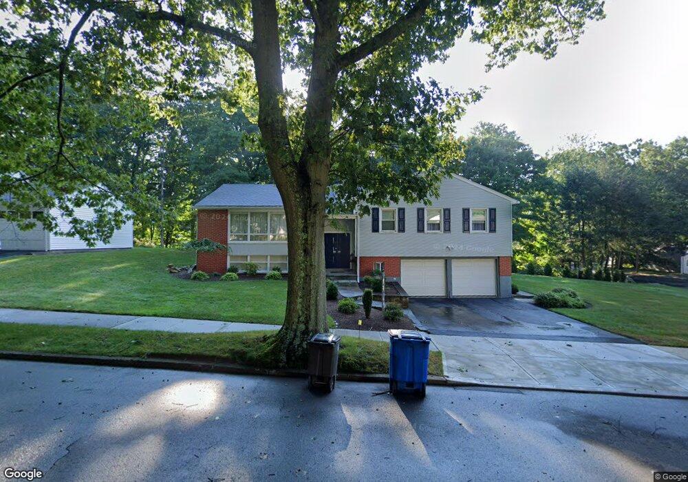
294 Stevenson Rd New Haven, CT 06515
Westville NeighborhoodEstimated Value: $492,000 - $525,659
3
Beds
3
Baths
1,785
Sq Ft
$287/Sq Ft
Est. Value
About This Home
This home is located at 294 Stevenson Rd, New Haven, CT 06515 and is currently estimated at $512,415, approximately $287 per square foot. 294 Stevenson Rd is a home located in New Haven County with nearby schools including Elm City Montessori School and Hopkins School.
Ownership History
Date
Name
Owned For
Owner Type
Purchase Details
Closed on
May 30, 2006
Sold by
Jacobs Julia
Bought by
Thorne Alan and Thorne Francine
Current Estimated Value
Home Financials for this Owner
Home Financials are based on the most recent Mortgage that was taken out on this home.
Original Mortgage
$250,000
Outstanding Balance
$146,650
Interest Rate
6.53%
Estimated Equity
$365,765
Create a Home Valuation Report for This Property
The Home Valuation Report is an in-depth analysis detailing your home's value as well as a comparison with similar homes in the area
Home Values in the Area
Average Home Value in this Area
Purchase History
| Date | Buyer | Sale Price | Title Company |
|---|---|---|---|
| Thorne Alan | $340,000 | -- |
Source: Public Records
Mortgage History
| Date | Status | Borrower | Loan Amount |
|---|---|---|---|
| Open | Thorne Alan | $56,000 | |
| Open | Thorne Alan | $250,000 | |
| Previous Owner | Thorne Alan | $78,700 | |
| Previous Owner | Thorne Alan | $62,000 |
Source: Public Records
Tax History Compared to Growth
Tax History
| Year | Tax Paid | Tax Assessment Tax Assessment Total Assessment is a certain percentage of the fair market value that is determined by local assessors to be the total taxable value of land and additions on the property. | Land | Improvement |
|---|---|---|---|---|
| 2025 | $10,061 | $255,360 | $66,290 | $189,070 |
| 2024 | $9,831 | $255,360 | $66,290 | $189,070 |
| 2023 | $9,499 | $255,360 | $66,290 | $189,070 |
| 2022 | $10,151 | $255,360 | $66,290 | $189,070 |
| 2021 | $8,281 | $188,720 | $43,050 | $145,670 |
| 2020 | $8,281 | $188,720 | $43,050 | $145,670 |
| 2019 | $8,111 | $188,720 | $43,050 | $145,670 |
| 2018 | $8,111 | $188,720 | $43,050 | $145,670 |
| 2017 | $7,300 | $188,720 | $43,050 | $145,670 |
| 2016 | $8,170 | $196,630 | $44,730 | $151,900 |
| 2015 | $8,170 | $196,630 | $44,730 | $151,900 |
| 2014 | $8,170 | $196,630 | $44,730 | $151,900 |
Source: Public Records
Map
Nearby Homes
- 690 Forest Rd Unit 702
- 690 Forest Rd Unit 392
- 690 Forest Rd Unit 511
- 11 Priscilla Rd
- 699 Forest Rd
- 36 Birch Dr
- 119 Brooklawn Cir
- 1975 Chapel St
- 119 Westwood Rd
- 36 Forest Hills Rd
- 55 Marvel Rd
- 360 Fountain St Unit 5
- 51 Fountain Terrace
- 56 Highview Ave
- 126 Willard St
- 206 W Rock Ave
- 846 Beechwood Rd
- 70 Woodfield Rd
- 1016 Whalley Ave Unit 6
- 100 Yates St
- 284 Stevenson Rd
- 46 Spencer Place
- 36 Spencer Place
- 295 Stevenson Rd
- 315 Stevenson Rd
- 285 Stevenson Rd
- 305 Stevenson Rd
- 270 Stevenson Rd
- 325 Stevenson Rd
- 26 Spencer Place
- 271 Stevenson Rd
- 45 Spencer Place
- 345 Stevenson Rd
- 262 Stevenson Rd
- 35 Spencer Place
- 16 Spencer Place
- 355 Stevenson Rd
- 257 Stevenson Rd
- 25 Spencer Place
- 360 Stevenson Rd