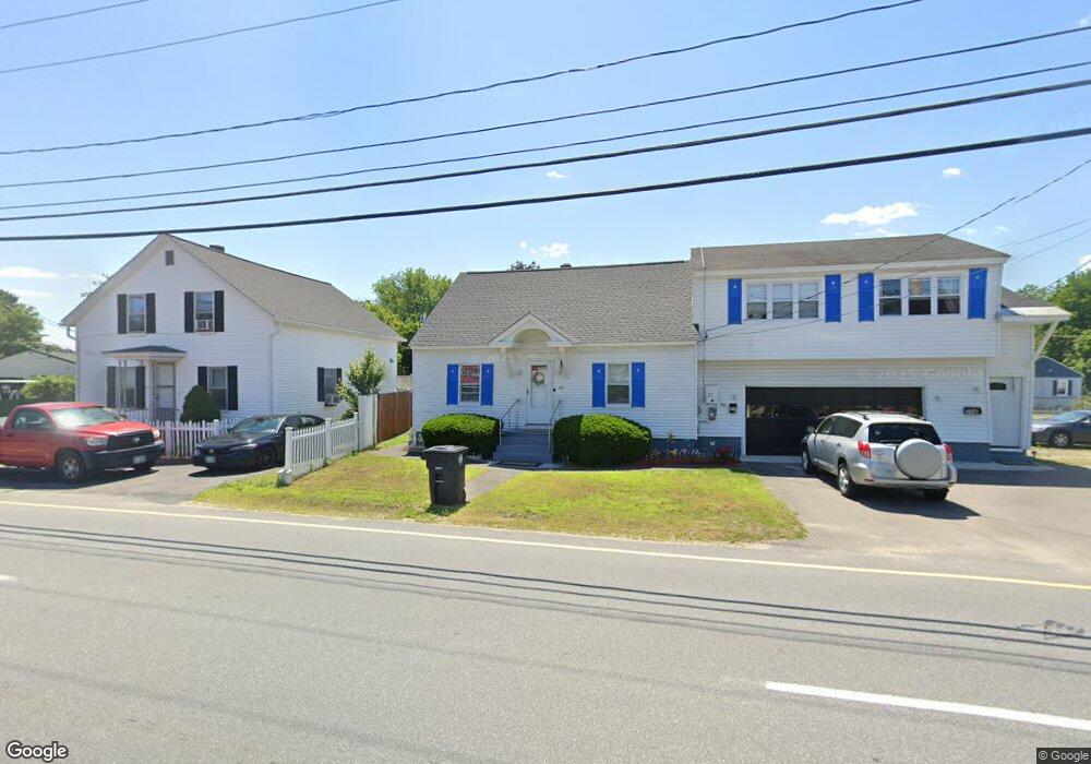
294 W Hollis St Unit 311314 Nashua, NH 03060
South End Nashua NeighborhoodEstimated Value: $558,219 - $582,000
6
Beds
3
Baths
1,959
Sq Ft
$293/Sq Ft
Est. Value
About This Home
This home is located at 294 W Hollis St Unit 311314, Nashua, NH 03060 and is currently estimated at $573,555, approximately $292 per square foot. 294 W Hollis St Unit 311314 is a home located in Hillsborough County with nearby schools including Ledge Street Elementary School, Fairgrounds Middle School, and Nashua High School South.
Ownership History
Date
Name
Owned For
Owner Type
Purchase Details
Closed on
Sep 30, 1998
Sold by
Melanson Leo D and Melanson Winifred M
Bought by
Lopez Leonardo and Lopez Milagros
Current Estimated Value
Home Financials for this Owner
Home Financials are based on the most recent Mortgage that was taken out on this home.
Original Mortgage
$141,871
Interest Rate
6.89%
Mortgage Type
Purchase Money Mortgage
Create a Home Valuation Report for This Property
The Home Valuation Report is an in-depth analysis detailing your home's value as well as a comparison with similar homes in the area
Home Values in the Area
Average Home Value in this Area
Purchase History
| Date | Buyer | Sale Price | Title Company |
|---|---|---|---|
| Lopez Leonardo | $143,000 | -- |
Source: Public Records
Mortgage History
| Date | Status | Borrower | Loan Amount |
|---|---|---|---|
| Open | Lopez Leonardo | $173,000 | |
| Closed | Lopez Leonardo | $141,871 |
Source: Public Records
Tax History Compared to Growth
Tax History
| Year | Tax Paid | Tax Assessment Tax Assessment Total Assessment is a certain percentage of the fair market value that is determined by local assessors to be the total taxable value of land and additions on the property. | Land | Improvement |
|---|---|---|---|---|
| 2024 | $7,557 | $475,300 | $140,600 | $334,700 |
| 2023 | $7,363 | $403,900 | $112,600 | $291,300 |
| 2022 | $7,298 | $403,900 | $112,600 | $291,300 |
| 2021 | $6,077 | $261,700 | $75,000 | $186,700 |
| 2020 | $5,917 | $261,700 | $75,000 | $186,700 |
| 2019 | $5,695 | $261,700 | $75,000 | $186,700 |
| 2018 | $5,551 | $261,700 | $75,000 | $186,700 |
| 2017 | $5,431 | $210,600 | $72,300 | $138,300 |
| 2016 | $5,280 | $210,600 | $72,300 | $138,300 |
| 2015 | $5,166 | $210,600 | $72,300 | $138,300 |
| 2014 | $5,065 | $210,600 | $72,300 | $138,300 |
Source: Public Records
Map
Nearby Homes
- 41 New Dunstable Rd Unit 371
- 22 New Dunstable Rd Unit 132133
- 22 Kern Dr
- 11 Bordeaux St
- 169A W Hollis St Unit 193
- 32-34 Grand Ave
- 6 Lake Ave
- 4 Badger St
- 247 Main Dunstable Rd
- 97 Linwood St
- 29 Wilder St
- 22 Wilder St
- 30 Ledge St
- 121 Palm St
- 63 Dexter St
- 7 Bitirnas St Unit U7
- 38 Central St
- 8 Althea Ln Unit U26
- 8 Buck St Unit 10
- 4 Henry David Dr Unit 203
- 292 W Hollis St Unit 309
- 1 Edwards St Unit 306307
- 3 Edwards St Unit 303304
- 4 Joffre St
- 285 W Hollis St
- 2A Edwards St Unit 286287
- 7 Edwards St Unit 301
- 2 Edwards St Unit 289
- 283 W Hollis St Unit 539
- 1A Joffre St Unit 343345
- 3 Joffre St Unit 336338
- 274 W Hollis St Unit 284
- 6 Joffre St
- 77 1/2 Joffre St Unit 328-331
- 5 Joffre St
- 276 W Hollis St Unit 279282
- 326 W Hollis St Unit 346349
- 29 New Dunstable Rd Unit 322
- 2 Daniels St Unit 508509
- 21 New Dunstable Rd Unit 291294