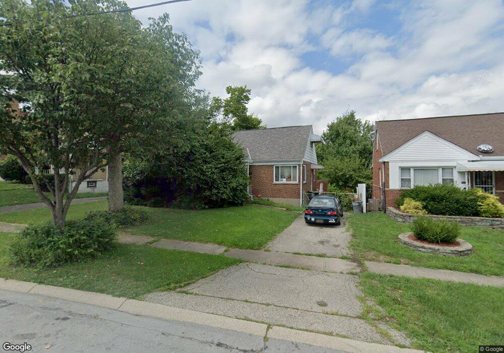
2940 W Tower Ave Cincinnati, OH 45238
Westwood NeighborhoodEstimated Value: $123,000 - $209,000
4
Beds
2
Baths
1,724
Sq Ft
$104/Sq Ft
Est. Value
About This Home
This home is located at 2940 W Tower Ave, Cincinnati, OH 45238 and is currently estimated at $179,072, approximately $103 per square foot. 2940 W Tower Ave is a home located in Hamilton County with nearby schools including Midway Elementary School, Western Hills High School, and Gilbert A. Dater High School.
Ownership History
Date
Name
Owned For
Owner Type
Purchase Details
Closed on
Dec 12, 2017
Sold by
Javed Arshad
Bought by
Shad Properties Llc
Current Estimated Value
Purchase Details
Closed on
Dec 2, 2011
Sold by
Wells Fargo Bank Na
Bought by
Penklor Properties Llc
Purchase Details
Closed on
May 2, 2011
Sold by
Easterling Robert L and Easterling Kathryn A
Bought by
Wells Fargo Bank Na
Create a Home Valuation Report for This Property
The Home Valuation Report is an in-depth analysis detailing your home's value as well as a comparison with similar homes in the area
Home Values in the Area
Average Home Value in this Area
Purchase History
| Date | Buyer | Sale Price | Title Company |
|---|---|---|---|
| Shad Properties Llc | -- | None Available | |
| Penklor Properties Llc | $32,100 | Attorney | |
| Wells Fargo Bank Na | $52,000 | None Available |
Source: Public Records
Tax History
| Year | Tax Paid | Tax Assessment Tax Assessment Total Assessment is a certain percentage of the fair market value that is determined by local assessors to be the total taxable value of land and additions on the property. | Land | Improvement |
|---|---|---|---|---|
| 2025 | $2,722 | $42,771 | $7,130 | $35,641 |
| 2024 | $2,718 | $42,771 | $7,130 | $35,641 |
| 2023 | $2,723 | $42,771 | $7,130 | $35,641 |
| 2022 | $1,760 | $24,791 | $5,789 | $19,002 |
| 2021 | $1,726 | $24,791 | $5,789 | $19,002 |
| 2020 | $1,731 | $24,791 | $5,789 | $19,002 |
| 2019 | $1,728 | $22,537 | $5,264 | $17,273 |
| 2018 | $1,730 | $22,537 | $5,264 | $17,273 |
| 2017 | $1,665 | $22,537 | $5,264 | $17,273 |
| 2016 | $857 | $11,236 | $6,367 | $4,869 |
| 2015 | $766 | $11,236 | $6,367 | $4,869 |
| 2014 | $771 | $11,236 | $6,367 | $4,869 |
| 2013 | $783 | $11,236 | $6,367 | $4,869 |
Source: Public Records
Map
Nearby Homes
- 3061 Veazey Ave
- 3124 Veazey Ave
- 2640 Gehrum Ln
- 3011 Westbrook Dr
- 3141 W Tower Ave
- 2925 Boudinot Ave
- 4730 Hardwick Dr
- 3106 Werk Rd
- 4778 Prosperity Place
- 4740 Green Glen Ln
- 1877 Ashbrook Dr
- 5020 Sidney Rd
- 2935 Lafeuille Ave
- 4734 Prosperity Place
- 4730 Prosperity Place
- 2860 Dirheim Ave
- 1782 Ashbrook Dr
- 1774 Ashbrook Dr
- 1762 Ashbrook Dr
- 3305 Queen City Ave
- 2940 West Tower Ave
- 2936 West Tower Ave
- 2936 W Tower Ave
- 2946 West Tower Ave
- 2946 W Tower Ave
- 2924 West Tower Ave
- 2960 West Tower Ave
- 2916 West Tower Ave
- 2964 W Tower Ave
- 2964 West Tower Ave
- 2931 W Tower Ave
- 2943 W Tower Ave
- 2908 West Tower Ave
- 2941 West Tower Ave
- 2933 West Tower Ave
- 2908 W Tower Ave
- 2933 W Tower Ave
- 2943 West Tower Ave
- 2931 West Tower Ave
- 2970 West Tower Ave
Your Personal Tour Guide
Ask me questions while you tour the home.