29400 195th St Leavenworth, KS 66048
Estimated Value: $601,000 - $702,000
4
Beds
3
Baths
2,522
Sq Ft
$261/Sq Ft
Est. Value
About This Home
This home is located at 29400 195th St, Leavenworth, KS 66048 and is currently estimated at $658,432, approximately $261 per square foot. 29400 195th St is a home located in Leavenworth County with nearby schools including Pleasant Ridge Elementary School, Pleasant Ridge Middle School, and Pleasant Ridge High School.
Ownership History
Date
Name
Owned For
Owner Type
Purchase Details
Closed on
Apr 1, 1993
Bought by
Chris Frederick A and Frederick Nancy C
Current Estimated Value
Home Financials for this Owner
Home Financials are based on the most recent Mortgage that was taken out on this home.
Original Mortgage
$35,000
Interest Rate
7.5%
Mortgage Type
New Conventional
Create a Home Valuation Report for This Property
The Home Valuation Report is an in-depth analysis detailing your home's value as well as a comparison with similar homes in the area
Home Values in the Area
Average Home Value in this Area
Purchase History
| Date | Buyer | Sale Price | Title Company |
|---|---|---|---|
| Chris Frederick A | $22,000 | -- |
Source: Public Records
Mortgage History
| Date | Status | Borrower | Loan Amount |
|---|---|---|---|
| Closed | Chris Frederick A | $35,000 | |
| Closed | Chris Frederick A | $285,365 |
Source: Public Records
Tax History Compared to Growth
Tax History
| Year | Tax Paid | Tax Assessment Tax Assessment Total Assessment is a certain percentage of the fair market value that is determined by local assessors to be the total taxable value of land and additions on the property. | Land | Improvement |
|---|---|---|---|---|
| 2025 | $7,510 | $71,408 | $6,212 | $65,196 |
| 2024 | $7,275 | $69,153 | $5,814 | $63,339 |
| 2023 | $7,275 | $67,211 | $5,757 | $61,454 |
| 2022 | $6,298 | $58,279 | $4,717 | $53,562 |
| 2021 | $5,499 | $50,054 | $3,555 | $46,499 |
| 2020 | $5,273 | $47,781 | $3,406 | $44,375 |
| 2019 | $5,291 | $47,843 | $2,822 | $45,021 |
| 2018 | $4,948 | $44,864 | $2,810 | $42,054 |
| 2017 | $4,888 | $44,133 | $2,804 | $41,329 |
| 2016 | $4,573 | $41,453 | $2,739 | $38,714 |
| 2015 | $4,422 | $40,157 | $2,733 | $37,424 |
| 2014 | -- | $39,866 | $2,742 | $37,124 |
Source: Public Records
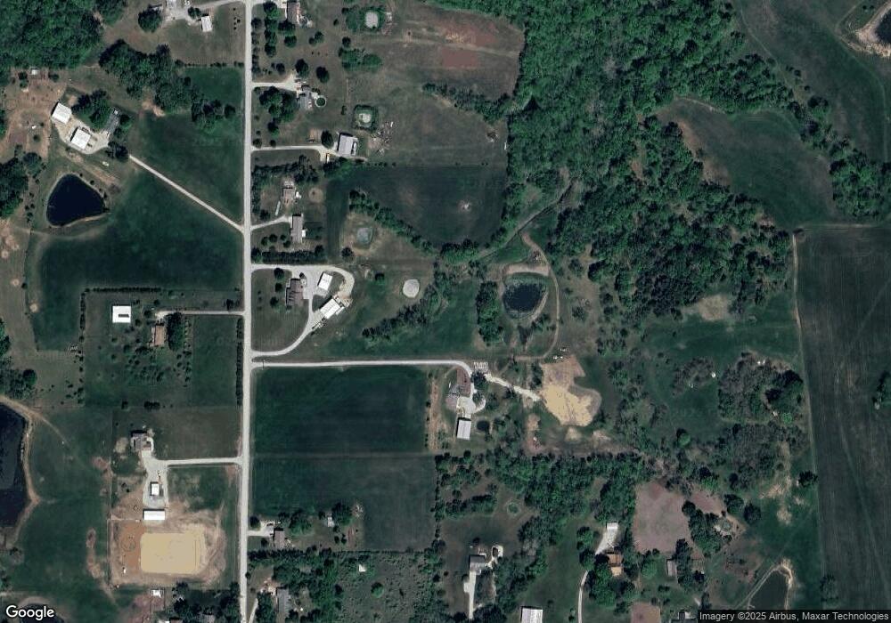
Map
Nearby Homes
- Lot 5 195th St
- Lot 4 195th St
- 28527 187th St
- 000000 195th St
- 0 195th St
- Lot 5 Bauserman Rd
- 17470 Springdale Rd
- 1964 Eisenhower Rd
- 503 Limit St
- 52 acres Springdale Rd
- 00000 Michals Rd
- 22010 Springdale Rd
- 17739 Eisenhower Rd
- 17051 Mount Olivet Rd
- 00000 Edwards Terrace
- 2308 Hebbeln Dr
- 2248 Vilas St
- 26277 187th St
- 17096 Eisenhower Rd
- 1908 Pine Ridge Dr
- 29414 195th St
- 29486 195th St
- 29371 195th St
- 29301 195th St
- 29301 195th St
- 29324 195th St
- 29260 195th St
- 29534 195th St
- 29417 195th St
- 29214 195th St
- 29535 195th St
- 19380 Lecompton Rd
- 29213 195th St
- 29580 195th St
- 29151 195th St
- 19324 Lecompton Rd
- 29132 195th St
- 29581 195th St
- 29615 195th St
- 19262 Lecompton Rd