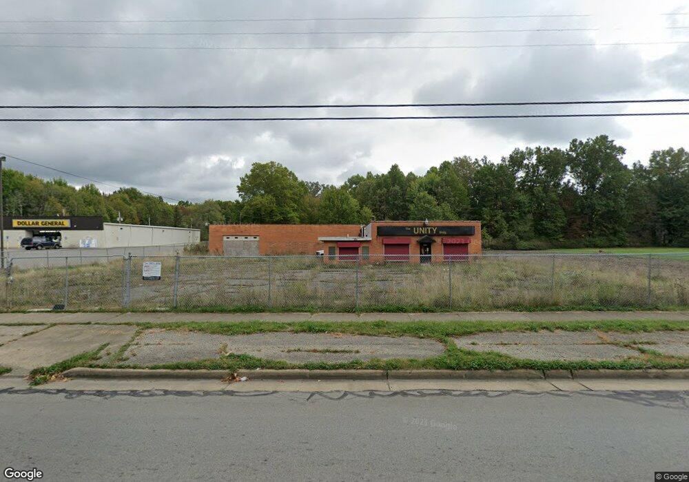
2943 McGuffey Rd Youngstown, OH 44505
McGuffey Heights NeighborhoodEstimated Value: $319,660
Studio
--
Bath
7,726
Sq Ft
$41/Sq Ft
Est. Value
About This Home
This home is located at 2943 McGuffey Rd, Youngstown, OH 44505 and is currently estimated at $319,660, approximately $41 per square foot. 2943 McGuffey Rd is a home located in Mahoning County with nearby schools including M.L. King Elementary School, Williamson Elementary School, and East High School.
Ownership History
Date
Name
Owned For
Owner Type
Purchase Details
Closed on
May 3, 2011
Sold by
Hudson Elizabeth and Hudson Samuel L
Bought by
Dg Strategic Ii Llc
Current Estimated Value
Purchase Details
Closed on
May 19, 2009
Sold by
Hudson Lazell
Bought by
Hudson Elizabeth M
Purchase Details
Closed on
Jan 1, 1990
Bought by
Bosela John
Create a Home Valuation Report for This Property
The Home Valuation Report is an in-depth analysis detailing your home's value as well as a comparison with similar homes in the area
Home Values in the Area
Average Home Value in this Area
Purchase History
| Date | Buyer | Sale Price | Title Company |
|---|---|---|---|
| Dg Strategic Ii Llc | $135,000 | Real Estate Title | |
| Hudson Elizabeth M | -- | None Available | |
| Bosela John | -- | -- |
Source: Public Records
Tax History
| Year | Tax Paid | Tax Assessment Tax Assessment Total Assessment is a certain percentage of the fair market value that is determined by local assessors to be the total taxable value of land and additions on the property. | Land | Improvement |
|---|---|---|---|---|
| 2025 | $1,493 | $22,840 | $3,290 | $19,550 |
| 2024 | $1,642 | $22,840 | $3,290 | $19,550 |
| 2023 | $1,644 | $22,840 | $3,290 | $19,550 |
| 2022 | $1,766 | $22,080 | $3,000 | $19,080 |
| 2021 | $1,768 | $22,080 | $3,000 | $19,080 |
| 2020 | $1,783 | $22,080 | $3,000 | $19,080 |
| 2019 | $1,827 | $22,080 | $3,000 | $19,080 |
| 2018 | $1,845 | $22,080 | $3,000 | $19,080 |
| 2017 | $1,842 | $22,080 | $3,000 | $19,080 |
| 2016 | $1,914 | $23,510 | $3,610 | $19,900 |
| 2015 | $1,966 | $23,510 | $3,610 | $19,900 |
| 2014 | $1,855 | $23,510 | $3,610 | $19,900 |
| 2013 | $1,823 | $23,510 | $3,610 | $19,900 |
Source: Public Records
Map
Nearby Homes
- 2849 McGuffey Rd
- 1214 Brighton St
- 1251 Jacobs Rd
- 1720 Jacobs Rd
- 1003 Liberty Rd
- 603 Liberty Rd
- 2526 Stocker Ave
- 206 Beachwood Dr
- 2051 Blair Ave
- 2915 Megan Cir
- V/L Jacobs Rd
- 3786 Choice Ct
- 3240 Oak Street Extension
- 32 Maranatha Dr
- 36 Maranatha Dr
- 24 Maranatha Dr
- 146 Greeley Ln
- 1538 Republic Ave
- 111 Bassett Ln
- 575 Woodside Ave
- 2981 McGuffey Rd
- 2933 McGuffey Rd
- 1156 Jacobs Rd
- 2923 McGuffey Rd
- 1113 Keogh Ave
- 1109 Keogh Ave
- 1207 Jacobs Rd
- 3033 McGuffey Rd
- 3005 Shannon Ave
- 3037 McGuffey Rd
- 2853 McGuffey Rd
- 2900 McGuffey Rd
- 3040 McGuffey Rd
- 1118 Jacobs Rd
- 3009 Shannon Ave
- 3041 McGuffey Rd
- 3015 Shannon Ave
- 2932 Ridley Ave
- 2928 Ridley Ave
- 1033 Keogh Ave
Your Personal Tour Guide
Ask me questions while you tour the home.