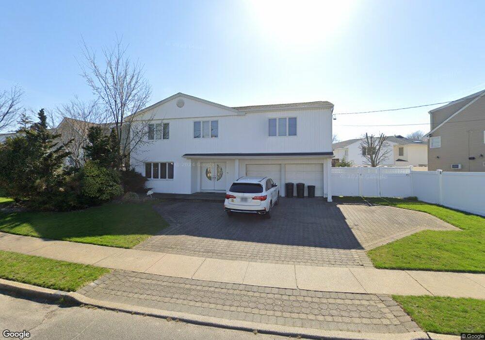
2946 Wynsum Ave Merrick, NY 11566
Estimated Value: $1,043,000 - $1,112,114
4
Beds
3
Baths
2,692
Sq Ft
$400/Sq Ft
Est. Value
About This Home
This home is located at 2946 Wynsum Ave, Merrick, NY 11566 and is currently estimated at $1,077,557, approximately $400 per square foot. 2946 Wynsum Ave is a home located in Nassau County with nearby schools including Burcham Elementary School, Merrick Avenue Middle School, and John F. Kennedy High School.
Ownership History
Date
Name
Owned For
Owner Type
Purchase Details
Closed on
Jul 18, 2014
Sold by
Zang Sheryl and Zang Steven
Bought by
Adelstein Jennifer
Current Estimated Value
Home Financials for this Owner
Home Financials are based on the most recent Mortgage that was taken out on this home.
Original Mortgage
$500,000
Interest Rate
4.18%
Mortgage Type
Purchase Money Mortgage
Purchase Details
Closed on
Aug 11, 1999
Sold by
Purvin Jay and Purvin Susan
Bought by
Zang Steven and Zang Sheryl
Create a Home Valuation Report for This Property
The Home Valuation Report is an in-depth analysis detailing your home's value as well as a comparison with similar homes in the area
Home Values in the Area
Average Home Value in this Area
Purchase History
| Date | Buyer | Sale Price | Title Company |
|---|---|---|---|
| Adelstein Jennifer | $625,000 | None Available | |
| Zang Steven | $370,000 | -- |
Source: Public Records
Mortgage History
| Date | Status | Borrower | Loan Amount |
|---|---|---|---|
| Previous Owner | Adelstein Jennifer | $500,000 |
Source: Public Records
Tax History Compared to Growth
Tax History
| Year | Tax Paid | Tax Assessment Tax Assessment Total Assessment is a certain percentage of the fair market value that is determined by local assessors to be the total taxable value of land and additions on the property. | Land | Improvement |
|---|---|---|---|---|
| 2025 | $21,217 | $735 | $279 | $456 |
| 2024 | $4,871 | $712 | $270 | $442 |
| 2023 | $19,141 | $762 | $289 | $473 |
| 2022 | $19,141 | $762 | $289 | $473 |
| 2021 | $25,276 | $766 | $290 | $476 |
| 2020 | $18,479 | $948 | $506 | $442 |
| 2019 | $16,549 | $1,016 | $486 | $530 |
| 2018 | $16,667 | $1,134 | $0 | $0 |
| 2017 | $11,070 | $1,086 | $542 | $544 |
| 2016 | $15,718 | $1,086 | $515 | $571 |
| 2015 | $4,310 | $1,086 | $515 | $571 |
| 2014 | $4,310 | $1,086 | $515 | $571 |
| 2013 | $4,292 | $1,143 | $542 | $601 |
Source: Public Records
Map
Nearby Homes
- 2954 Wynsum Ave
- 2930 Wynsum Ave
- 2915 Cheryl Rd
- 2925 Cheryl Rd
- 2960 Wynsum Ave
- 2931 Cheryl Rd
- 2947 Wynsum Ave
- 2937 Wynsum Ave
- 2953 Wynsum Ave
- 2935 Wynsum Ave
- 2937 Cheryl Rd
- 2966 Wynsum Ave
- 2929 Wynsum Ave
- 2963 Wynsum Ave
- 2923 Wynsum Ave
- 2943 Cheryl Rd
- 2920 Cheryl Rd
- 2926 Cheryl Rd
- 2924 Wynsum Ave
- 2994 Frankel Blvd