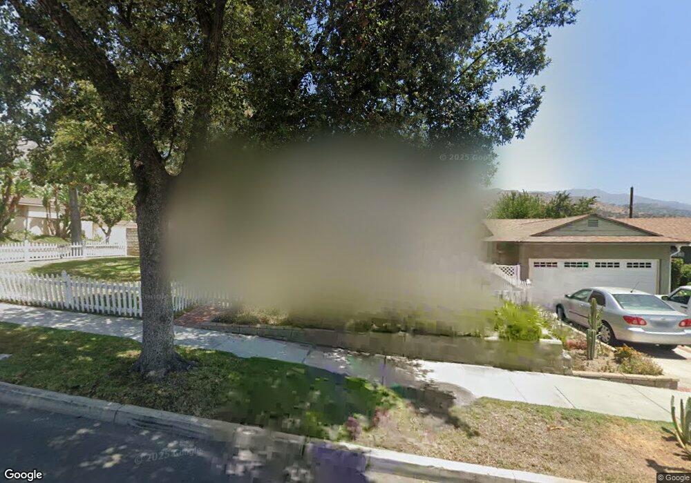
2948 Scott Rd Burbank, CA 91504
Hillside District NeighborhoodEstimated Value: $1,232,000 - $1,631,000
About This Home
This home is located at 2948 Scott Rd, Burbank, CA 91504 and is currently estimated at $1,446,738, approximately $824 per square foot. 2948 Scott Rd is a home located in Los Angeles County with nearby schools including Thomas Jefferson Elementary School, Lott Middle School, and John Muir Middle School.
Ownership History
We collect this data history from publicly available records. To have your information removed, we recommend requesting removal directly through your county’s website.
Purchase Details
Purchase Details
Home Values in the Area
Average Home Value in this Area
Purchase History
We collect this data history from publicly available records. To have your information removed, we recommend requesting removal directly through your county’s website.
| Date | Buyer | Sale Price | Title Company |
|---|---|---|---|
| -- | None Listed On Document | ||
| $192,000 | Commonwealth Land Title |
Mortgage History
We collect this data history from publicly available records. To have your information removed, we recommend requesting removal directly through your county’s website.
| Date | Status | Borrower | Loan Amount |
|---|---|---|---|
| Previous Owner | $222,419 | ||
| Previous Owner | $250,000 | ||
| Previous Owner | $250,000 | ||
| Previous Owner | $298,352 | ||
| Previous Owner | $276,000 | ||
| Previous Owner | $300,000 | ||
| Previous Owner | $316,000 | ||
| Previous Owner | $250,000 | ||
| Previous Owner | $172,149 | ||
| Previous Owner | $174,250 | ||
| Previous Owner | $35,000 |
Tax History
We collect this data history from publicly available records. To have your information removed, we recommend requesting removal directly through your county’s website.
| Year | Tax Paid | Tax Assessment Tax Assessment Total Assessment is a certain percentage of the fair market value that is determined by local assessors to be the total taxable value of land and additions on the property. | Land | Improvement |
|---|---|---|---|---|
| 2025 | $4,717 | $405,660 | $224,423 | $181,237 |
| 2024 | $4,549 | $397,707 | $220,023 | $177,684 |
| 2023 | $4,501 | $389,909 | $215,709 | $174,200 |
| 2022 | $4,298 | $382,265 | $211,480 | $170,785 |
| 2021 | $4,273 | $374,771 | $207,334 | $167,437 |
| 2019 | $4,101 | $363,658 | $201,186 | $162,472 |
| 2018 | $4,010 | $356,529 | $197,242 | $159,287 |
| 2016 | $3,793 | $342,686 | $189,584 | $153,102 |
| 2015 | $3,716 | $337,540 | $186,737 | $150,803 |
| 2014 | $3,711 | $330,929 | $183,080 | $147,849 |
Map
- 2800 Jolley Dr
- 2640 N Keystone St
- 2414 N Lamer St
- 2615 Woodstock Ln
- 2316 N Parish Place
- 2405 Jolley Dr
- 924 Irving Dr
- 2300 Tulare Ave
- 3119 Mesa Verde Dr
- 2616 N Buena Vista St
- 806 Stanford Rd
- 824 Stanford Rd
- 3142 N Naomi St
- 2005 Grismer Ave
- 401 Eton Dr
- 2014 Peyton Ave
- 1912 N Kenneth Rd
- 1831 Richard St
- 1953 N Parish Place
- 1924 N Parish Place
Ask me questions while you tour the home.