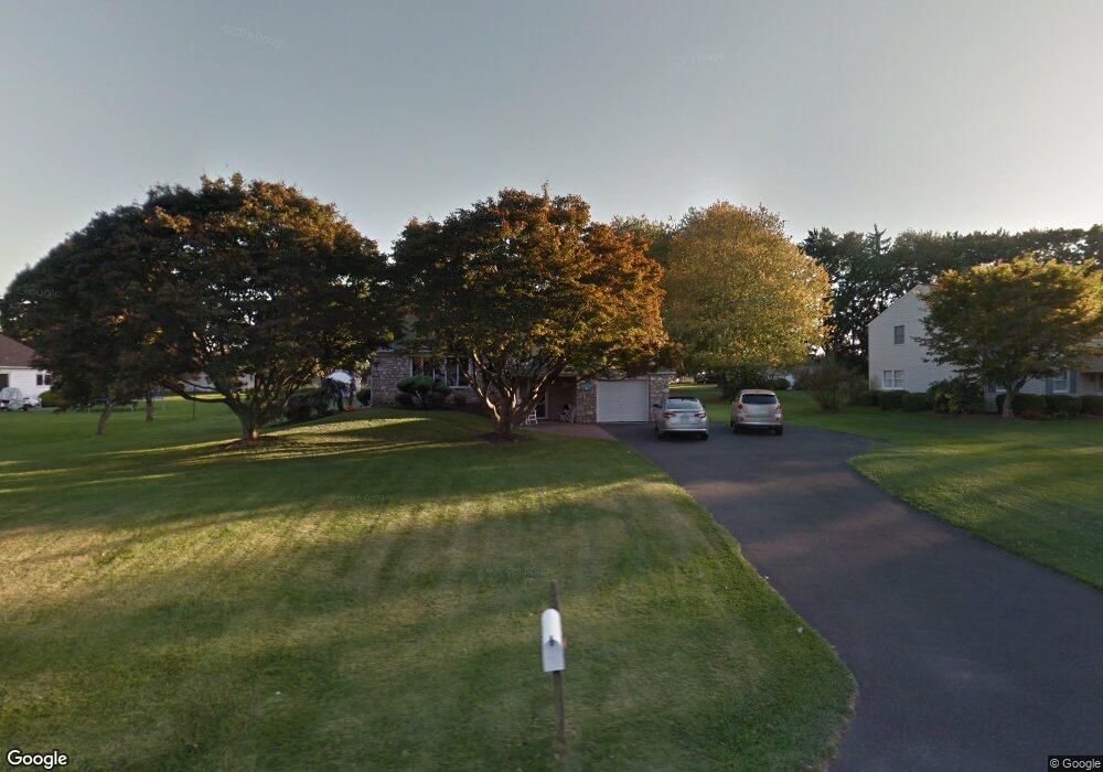
295 Doris Ave Southampton, PA 18966
Estimated Value: $538,325 - $658,000
3
Beds
3
Baths
1,364
Sq Ft
$453/Sq Ft
Est. Value
About This Home
This home is located at 295 Doris Ave, Southampton, PA 18966 and is currently estimated at $617,831, approximately $452 per square foot. 295 Doris Ave is a home located in Bucks County with nearby schools including Rolling Hills Elementary School, Richboro Middle School, and Council Rock High School - South.
Ownership History
Date
Name
Owned For
Owner Type
Purchase Details
Closed on
Sep 9, 2019
Sold by
Giordano Frank J and Giordano Jill R
Bought by
Granger Julie A and Granger Joseph A
Current Estimated Value
Home Financials for this Owner
Home Financials are based on the most recent Mortgage that was taken out on this home.
Original Mortgage
$369,500
Outstanding Balance
$324,314
Interest Rate
3.7%
Mortgage Type
New Conventional
Estimated Equity
$293,517
Purchase Details
Closed on
Sep 29, 1995
Sold by
Worthington Gertrude L
Bought by
Giordano Frank J and Giordano Jill R
Home Financials for this Owner
Home Financials are based on the most recent Mortgage that was taken out on this home.
Original Mortgage
$154,300
Interest Rate
7.86%
Purchase Details
Closed on
May 19, 1967
Bought by
Worthington Raymond C and Worthington Gertrude
Create a Home Valuation Report for This Property
The Home Valuation Report is an in-depth analysis detailing your home's value as well as a comparison with similar homes in the area
Home Values in the Area
Average Home Value in this Area
Purchase History
| Date | Buyer | Sale Price | Title Company |
|---|---|---|---|
| Granger Julie A | $426,500 | Attorneys & Brokers Abstract | |
| Giordano Frank J | $162,500 | -- | |
| Worthington Raymond C | -- | -- |
Source: Public Records
Mortgage History
| Date | Status | Borrower | Loan Amount |
|---|---|---|---|
| Open | Granger Julie A | $369,500 | |
| Previous Owner | Giordano Frank J | $154,300 |
Source: Public Records
Tax History Compared to Growth
Tax History
| Year | Tax Paid | Tax Assessment Tax Assessment Total Assessment is a certain percentage of the fair market value that is determined by local assessors to be the total taxable value of land and additions on the property. | Land | Improvement |
|---|---|---|---|---|
| 2025 | $5,316 | $27,600 | $6,120 | $21,480 |
| 2024 | $5,316 | $27,600 | $6,120 | $21,480 |
| 2023 | $5,010 | $27,600 | $6,120 | $21,480 |
| 2022 | $4,964 | $27,600 | $6,120 | $21,480 |
| 2021 | $4,807 | $27,600 | $6,120 | $21,480 |
| 2020 | $4,699 | $27,600 | $6,120 | $21,480 |
| 2019 | $4,498 | $27,600 | $6,120 | $21,480 |
| 2018 | $4,418 | $27,600 | $6,120 | $21,480 |
| 2017 | $4,248 | $27,600 | $6,120 | $21,480 |
| 2016 | $4,248 | $27,600 | $6,120 | $21,480 |
| 2015 | -- | $27,600 | $6,120 | $21,480 |
| 2014 | -- | $27,600 | $6,120 | $21,480 |
Source: Public Records
Map
Nearby Homes
- 6 Springwood Place
- 139 Heather Valley Rd
- 2010 Barry Ct Unit 743B
- 4016 Barry Ct Unit 736B
- 151 Knox Ct
- 105 Hopkins Ct Unit 744A
- 1206 Barry Ct Unit 717A
- 19 Seton Hill Ct
- 327 Hale Dr Unit 801A
- 21019 Bennett Place Unit 7
- 302 Independence Dr
- 7 Bennett Place
- 24010 Beacon Hill Dr
- 2604 Beacon Hill Dr Unit 2
- 80 Hershey Ct
- 23 Brianna Rd
- 281 E Village Rd
- 157 Sunbury Ct Unit 79
- 102 Keenan Ln
- 9017 Heritage Place Unit 9
- 256 Saint Leonards Rd
- 287 Doris Ave
- 244 Saint Leonards Rd
- 267 Doris Ave
- 236 Saint Leonards Rd
- 300 Doris Ave
- 292 Doris Ave
- 310 Doris Ave
- 243 Doris Ave
- 255 Saint Leonards Rd
- 235 Doris Ave
- 284 Doris Ave
- 265 Saint Leonards Rd
- 7 Doe Run Dr
- 276 Doris Ave
- 275 Saint Leonards Rd
- 228 Saint Leonards Rd
- 227 Doris Ave
- 268 Doris Ave
- 252 Doris Ave