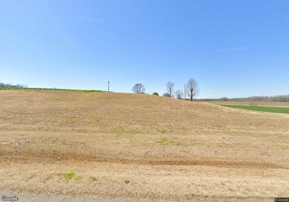
Estimated Value: $363,000 - $405,000
Studio
2
Baths
1,680
Sq Ft
$232/Sq Ft
Est. Value
About This Home
This home is located at 295 Huron Rd, Huron, TN 38345 and is currently estimated at $390,208, approximately $232 per square foot. 295 Huron Rd is a home located in Henderson County.
Ownership History
Date
Name
Owned For
Owner Type
Purchase Details
Closed on
Jun 27, 2024
Sold by
Hart Dudley and Hart Susan
Bought by
Patmans Trust and Nes Van
Current Estimated Value
Home Financials for this Owner
Home Financials are based on the most recent Mortgage that was taken out on this home.
Original Mortgage
$257,240
Outstanding Balance
$134,243
Interest Rate
7.02%
Mortgage Type
Seller Take Back
Estimated Equity
$255,965
Purchase Details
Closed on
Aug 7, 1989
Bought by
Tucker Robert K
Purchase Details
Closed on
Aug 6, 1989
Purchase Details
Closed on
Aug 5, 1989
Purchase Details
Closed on
Aug 4, 1989
Purchase Details
Closed on
Aug 3, 1989
Purchase Details
Closed on
Jul 8, 1988
Bought by
Mullins Max E and Mullins Linda E
Purchase Details
Closed on
Jul 7, 1988
Bought by
Mullins Max E and Mullins Linda E
Purchase Details
Closed on
Apr 29, 1988
Bought by
Mullins Max E and Mullins Linda E
Purchase Details
Closed on
Oct 13, 1981
Bought by
Jones James Elbert and Jones Brooxie M
Purchase Details
Closed on
Jan 1, 1981
Create a Home Valuation Report for This Property
The Home Valuation Report is an in-depth analysis detailing your home's value as well as a comparison with similar homes in the area
Purchase History
| Date | Buyer | Sale Price | Title Company |
|---|---|---|---|
| Patmans Trust | $357,240 | None Listed On Document | |
| Patmans Trust | $357,240 | None Listed On Document | |
| Tucker Robert K | -- | -- | |
| -- | -- | -- | |
| -- | -- | -- | |
| -- | -- | -- | |
| -- | -- | -- | |
| Mullins Max E | -- | -- | |
| Mullins Max E | -- | -- | |
| Mullins Max E | $62,500 | -- | |
| Jones James Elbert | -- | -- | |
| -- | $4,500 | -- |
Source: Public Records
Mortgage History
| Date | Status | Borrower | Loan Amount |
|---|---|---|---|
| Open | Patmans Trust | $257,240 | |
| Closed | Patmans Trust | $257,240 |
Source: Public Records
Tax History Compared to Growth
Tax History
| Year | Tax Paid | Tax Assessment Tax Assessment Total Assessment is a certain percentage of the fair market value that is determined by local assessors to be the total taxable value of land and additions on the property. | Land | Improvement |
|---|---|---|---|---|
| 2025 | $1,393 | $69,850 | $0 | $0 |
| 2024 | $1,393 | $88,050 | $38,275 | $49,775 |
| 2023 | $1,393 | $88,050 | $38,275 | $49,775 |
| 2022 | $1,563 | $65,925 | $31,575 | $34,350 |
| 2021 | $1,563 | $65,925 | $31,575 | $34,350 |
| 2020 | $1,563 | $65,925 | $31,575 | $34,350 |
| 2019 | $1,563 | $65,925 | $31,575 | $34,350 |
| 2018 | $1,505 | $65,925 | $31,575 | $34,350 |
| 2017 | $1,505 | $65,925 | $31,575 | $34,350 |
| 2016 | $1,436 | $60,450 | $25,775 | $34,675 |
| 2015 | $1,436 | $60,450 | $25,775 | $34,675 |
| 2014 | $1,436 | $60,435 | $0 | $0 |
Source: Public Records
Map
Nearby Homes
- Highway 200
- 0 Tennessee 200
- 5166 Middlefork Rd
- 96 Tennessee 200
- 3955 Tennessee 200
- 2035 Brown Cemetery Rd
- 4295 Tennessee 200
- 0 Mills Darden Rd
- 5035 Tennessee 200
- 000 Moonshine Loop
- 00 Moonshine Loop
- 5217 Tennessee 200
- 0 Branch Creek Rd Unit RTC3069471
- 0 Branch Creek Rd Unit 241243
- 0 Branch Creek Rd Unit 1325013
- 0 Clifford Rd
- 00 Moonshine Loop
- 900 Hubberd Town Rd
- 715 Roundtree Ln
- 592 Hubberd Town Rd
- 190 Huron Rd
- 1500 Highway 200
- 000 Huron Rd
- 480 Garner St
- 300 Huron Rd
- 1705 Highway 200
- 1865 Highway 200
- 99 Blue Bird Ln
- 300 Blue Bird Ln
- 1910 Highway 200
- 110 Huron Ln W
- 935 Huron Rd
- 2095 Highway 200
- 11 Huron Ln E
- 1035 Huron Rd
- 990 Huron Rd
- 2180 Highway 200
- 2250 Highway 200
- 1980 Highway 200
- 1155 Huron Rd
