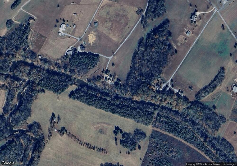
295 Kerns Dr Dunlap, TN 37327
Estimated Value: $244,225 - $331,000
Studio
2
Baths
1,056
Sq Ft
$280/Sq Ft
Est. Value
About This Home
This home is located at 295 Kerns Dr, Dunlap, TN 37327 and is currently estimated at $295,806, approximately $280 per square foot. 295 Kerns Dr is a home located in Bledsoe County with nearby schools including Bledsoe County High School.
Ownership History
Date
Name
Owned For
Owner Type
Purchase Details
Closed on
Sep 16, 2022
Sold by
Lowery Wayne L and Lowery Charleen
Bought by
Standefer Nelson and Griswold Amanda
Current Estimated Value
Home Financials for this Owner
Home Financials are based on the most recent Mortgage that was taken out on this home.
Original Mortgage
$135,000
Outstanding Balance
$114,272
Interest Rate
4.59%
Mortgage Type
New Conventional
Estimated Equity
$181,534
Purchase Details
Closed on
Aug 6, 2001
Sold by
Lowery Wayne L and Lowery Charleen
Bought by
Park Patti I
Purchase Details
Closed on
Nov 4, 1992
Bought by
Lowery Wayne L
Purchase Details
Closed on
Jun 24, 1991
Create a Home Valuation Report for This Property
The Home Valuation Report is an in-depth analysis detailing your home's value as well as a comparison with similar homes in the area
Purchase History
| Date | Buyer | Sale Price | Title Company |
|---|---|---|---|
| Standefer Nelson | $225,000 | -- | |
| Standefer Nelson | $225,000 | None Listed On Document | |
| Park Patti I | $151,000 | -- | |
| Lowery Wayne L | $10,400 | -- | |
| -- | $15,500 | -- |
Source: Public Records
Mortgage History
| Date | Status | Borrower | Loan Amount |
|---|---|---|---|
| Open | Standefer Nelson | $135,000 | |
| Closed | Standefer Nelson | $135,000 |
Source: Public Records
Tax History Compared to Growth
Tax History
| Year | Tax Paid | Tax Assessment Tax Assessment Total Assessment is a certain percentage of the fair market value that is determined by local assessors to be the total taxable value of land and additions on the property. | Land | Improvement |
|---|---|---|---|---|
| 2025 | $777 | $37,675 | $14,375 | $23,300 |
| 2024 | $777 | $37,675 | $14,375 | $23,300 |
| 2023 | $777 | $37,675 | $14,375 | $23,300 |
| 2022 | $692 | $36,925 | $13,625 | $23,300 |
| 2021 | $738 | $30,925 | $10,525 | $20,400 |
| 2020 | $771 | $30,925 | $10,525 | $20,400 |
| 2019 | $771 | $32,300 | $11,900 | $20,400 |
| 2018 | $713 | $32,300 | $11,900 | $20,400 |
| 2017 | $713 | $32,300 | $11,900 | $20,400 |
| 2016 | $696 | $30,700 | $11,900 | $18,800 |
| 2015 | $675 | $30,475 | $11,900 | $18,575 |
| 2014 | $675 | $30,475 | $11,900 | $18,575 |
Source: Public Records
Map
Nearby Homes
- 35 River Ridge Dr
- 52 River Ridge Dr
- 0 Bill Pope Dr
- 0 Farmview Way Unit RTC2915893
- 0 Farmview Way Unit 1507652
- 0 Farmview Way
- Lot 35 River Ridge Dr
- 515 Old Us Highway 28
- 16 Old State Hwy 28
- 30 Big Cedar Dr
- 55 River Ridge Dr
- 76 Big Cedar Dr
- 500 Old Highway 28
- 19 Lower Brow Rd
- 1 Old Highway 28
- 77 River Ridge Dr
- Lot 112 Pinnacle Pt Ln
- 91 Hidden View Dr
- Lot 105 Pinnacle Point Ln
- 0 Pinnacle Point Ln
- 287 Kerns Dr
- 516 Brea Rd
- 287 Brea Rd
- 00 Sequatchie County Line
- 522 Brea Rd
- 404 Triple C Farm Ln
- 256 Brea Rd
- 206 Brea Rd
- 508 Brea Rd
- 0 Sequatchie Co Line Unit RTC2455917
- 168 Brea Rd
- 124 Brea Rd
- 03 Brea Rd
- 5A Brea Rd
- 528 Brea Rd
- 664 Brea Rd
- 451 Brea Rd
- 0 Sequatchie County Line Unit RTC2987367
- 0 Sequatchie County Line Unit RTC2293357
- 519 Brea Rd
