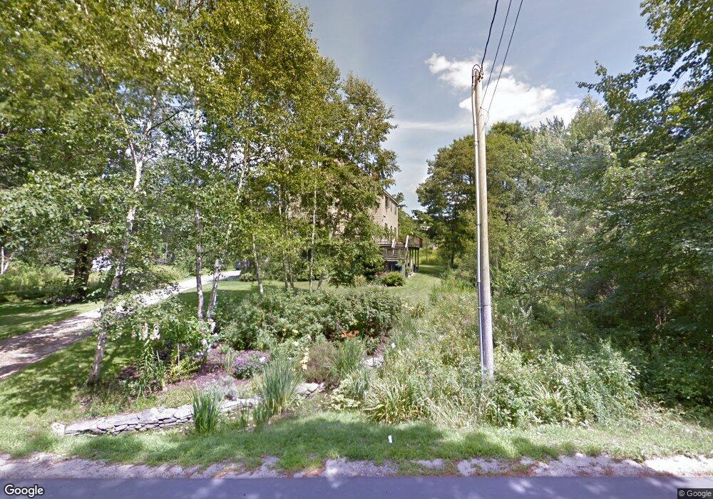
295 Lower Flying Point Rd Freeport, ME 04032
Estimated Value: $860,000
3
Beds
3
Baths
2,174
Sq Ft
$396/Sq Ft
Est. Value
About This Home
This home is located at 295 Lower Flying Point Rd, Freeport, ME 04032 and is currently priced at $860,000, approximately $395 per square foot. 295 Lower Flying Point Rd is a home located in Cumberland County with nearby schools including Morse Street School, Mast Landing School, and Freeport Middle School.
Create a Home Valuation Report for This Property
The Home Valuation Report is an in-depth analysis detailing your home's value as well as a comparison with similar homes in the area
Home Values in the Area
Average Home Value in this Area
Tax History Compared to Growth
Tax History
| Year | Tax Paid | Tax Assessment Tax Assessment Total Assessment is a certain percentage of the fair market value that is determined by local assessors to be the total taxable value of land and additions on the property. | Land | Improvement |
|---|---|---|---|---|
| 2021 | $6,154 | $494,000 | $183,500 | $310,500 |
Source: Public Records
Map
Nearby Homes
- 44 Maquoit Dr
- 71 Merganser Way
- 136 Flying Point Rd
- 83 Central Ave
- 7 Lmc Ln
- 4 Sandy Beach Rd
- 56 S Freeport Rd
- 9 Apple Ridge Rd
- 46 Blackstone Club Rd
- Lot # 4 South St
- 5 Indian Ridge Rd
- 12 West St
- 28 Harvest Ridge Rd Unit 25
- 26 Harvest Ridge Rd Unit 24
- 0 S Freeport Rd
- 1612 U S Route 1
- 11 Orchard Hill Rd
- 853 Mere Point Rd
- Map 80 Lot 18-0 White Island
- 15 Loon Rd
- 291 Lower Flying Point Rd
- 291 Lower Flying Point Rd
- Lot B 269 Lower Flying Point Rd
- 292 Lower Flying Point Rd
- 296 Lower Flying Point Rd
- 284 Lower Flying Point Rd
- 8 Retriever Ln
- 16 Retriever Ln
- 30 Byram Ave
- 307 Lower Flying Point Rd
- 10 Chickadee Ln
- 311 Lower Flying Point Rd
- 22 Byram Ave
- 0 Lower Flying Point Rd
- 39 Maquoit Dr
- 41 Maquoit Dr
- 44 Byram Ave Unit 44B
- 44 Byram Ave
- 32 Byram Ave
- 17 Island View Ln