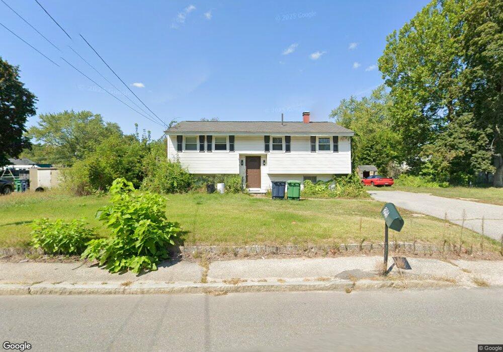
295 Main Dunstable Rd Nashua, NH 03062
West Hollis NeighborhoodEstimated Value: $454,133 - $470,000
3
Beds
1
Bath
944
Sq Ft
$492/Sq Ft
Est. Value
About This Home
This home is located at 295 Main Dunstable Rd, Nashua, NH 03062 and is currently estimated at $464,283, approximately $491 per square foot. 295 Main Dunstable Rd is a home located in Hillsborough County with nearby schools including Ledge Street Elementary School, Elm Street Middle School, and Nashua High School South.
Ownership History
Date
Name
Owned For
Owner Type
Purchase Details
Closed on
Jun 8, 2004
Sold by
Martineau Lisa A
Bought by
Crump Curtis E and Crump Jacie A
Current Estimated Value
Home Financials for this Owner
Home Financials are based on the most recent Mortgage that was taken out on this home.
Original Mortgage
$218,275
Outstanding Balance
$105,497
Interest Rate
5.94%
Mortgage Type
Purchase Money Mortgage
Estimated Equity
$358,786
Create a Home Valuation Report for This Property
The Home Valuation Report is an in-depth analysis detailing your home's value as well as a comparison with similar homes in the area
Home Values in the Area
Average Home Value in this Area
Purchase History
| Date | Buyer | Sale Price | Title Company |
|---|---|---|---|
| Crump Curtis E | $220,000 | -- |
Source: Public Records
Mortgage History
| Date | Status | Borrower | Loan Amount |
|---|---|---|---|
| Open | Crump Curtis E | $218,275 |
Source: Public Records
Tax History Compared to Growth
Tax History
| Year | Tax Paid | Tax Assessment Tax Assessment Total Assessment is a certain percentage of the fair market value that is determined by local assessors to be the total taxable value of land and additions on the property. | Land | Improvement |
|---|---|---|---|---|
| 2024 | $6,564 | $412,800 | $154,300 | $258,500 |
| 2023 | $6,151 | $337,400 | $123,400 | $214,000 |
| 2022 | $6,097 | $337,400 | $123,400 | $214,000 |
| 2021 | $5,097 | $219,500 | $82,300 | $137,200 |
| 2020 | $4,825 | $213,400 | $82,300 | $131,100 |
| 2019 | $4,644 | $213,400 | $82,300 | $131,100 |
| 2018 | $4,526 | $213,400 | $82,300 | $131,100 |
| 2017 | $4,134 | $160,300 | $71,400 | $88,900 |
| 2016 | $4,019 | $160,300 | $71,400 | $88,900 |
| 2015 | $3,932 | $160,300 | $71,400 | $88,900 |
| 2014 | $3,855 | $160,300 | $71,400 | $88,900 |
Source: Public Records
Map
Nearby Homes
- 8 Althea Ln Unit U26
- 247 Main Dunstable Rd
- 47 Dogwood Dr Unit U202
- 4 Henry David Dr Unit 203
- 16 Laurel Ct Unit U320
- 599 W Hollis St
- 25 Cortez Dr Unit U57
- 40 Spring Cove Rd Unit U117
- 11 Bordeaux St
- 375 Main Dunstable Rd
- 12 Spring Cove Rd Unit U103
- 23 Glen Dr
- 29 Greenwood Dr
- 22 Kern Dr
- 41 New Dunstable Rd Unit 371
- 46 Scenic Dr
- 27 Country Hill Rd Unit U90
- 188 Harris Rd
- 22 New Dunstable Rd Unit 132133
- 5 Wilderness Dr
- 297 Main Dunstable Rd
- 293 Main Dunstable Rd
- 294 Main Dunstable Rd
- 7 White Plains Dr
- 292 Main Dunstable Rd
- 5 White Plains Dr
- 296 Main Dunstable Rd
- 9 White Plains Dr
- 291 Main Dunstable Rd
- 299 Main Dunstable Rd
- 290 Main Dunstable Rd
- 3 White Plains Dr
- 12 White Plains Dr
- 10 White Plains Dr
- 11 White Plains Dr
- 14 White Plains Dr
- 8 White Plains Dr
- 16 White Plains Dr
- 288 Main Dunstable Rd
- 287 Main Dunstable Rd