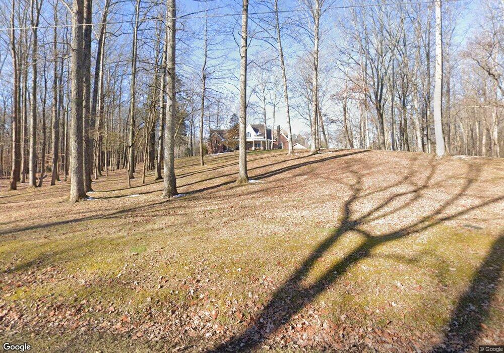
295 Maxwell Branch Rd Cottontown, TN 37048
Estimated Value: $687,000 - $955,381
--
Bed
4
Baths
3,437
Sq Ft
$248/Sq Ft
Est. Value
About This Home
This home is located at 295 Maxwell Branch Rd, Cottontown, TN 37048 and is currently estimated at $852,095, approximately $247 per square foot. 295 Maxwell Branch Rd is a home located in Sumner County with nearby schools including Oakmont Elementary School, White House Middle School, and White House High School.
Ownership History
Date
Name
Owned For
Owner Type
Purchase Details
Closed on
Nov 7, 2003
Sold by
Lanius Mark Curtis and Lanius Genine Renee
Bought by
Summers Larry G and Summers Pamela D
Current Estimated Value
Home Financials for this Owner
Home Financials are based on the most recent Mortgage that was taken out on this home.
Original Mortgage
$250,000
Interest Rate
5.75%
Mortgage Type
Purchase Money Mortgage
Purchase Details
Closed on
May 19, 1998
Sold by
Lanius Mark Curtis and Lanius Genine Renee
Bought by
Lanius Mark Curtis and Lanuis Genine Renee
Create a Home Valuation Report for This Property
The Home Valuation Report is an in-depth analysis detailing your home's value as well as a comparison with similar homes in the area
Home Values in the Area
Average Home Value in this Area
Purchase History
| Date | Buyer | Sale Price | Title Company |
|---|---|---|---|
| Summers Larry G | $292,000 | National Title Insurance Co | |
| Lanius Mark Curtis | -- | -- |
Source: Public Records
Mortgage History
| Date | Status | Borrower | Loan Amount |
|---|---|---|---|
| Closed | Summers Larry G | $250,000 |
Source: Public Records
Tax History Compared to Growth
Tax History
| Year | Tax Paid | Tax Assessment Tax Assessment Total Assessment is a certain percentage of the fair market value that is determined by local assessors to be the total taxable value of land and additions on the property. | Land | Improvement |
|---|---|---|---|---|
| 2024 | $3,128 | $220,100 | $83,900 | $136,200 |
| 2023 | $2,578 | $114,475 | $23,850 | $90,625 |
| 2022 | $2,589 | $114,475 | $23,850 | $90,625 |
| 2021 | $2,589 | $114,475 | $23,850 | $90,625 |
| 2020 | $2,589 | $114,475 | $23,850 | $90,625 |
| 2019 | $2,589 | $0 | $0 | $0 |
| 2018 | $2,536 | $0 | $0 | $0 |
| 2017 | $2,536 | $0 | $0 | $0 |
| 2016 | $2,536 | $0 | $0 | $0 |
| 2015 | -- | $0 | $0 | $0 |
| 2014 | -- | $0 | $0 | $0 |
Source: Public Records
Map
Nearby Homes
- 199 Broaderick Ln
- 0 Clearview Rd Unit RTC2810113
- 3371 Highway 76
- 405 Roney Creek Private Cove
- 0 Hwy 25 Unit RTC2752092
- 421 Roney Creek Private Cove
- 915 Bowling Branch Rd
- 290 Dink Rut Rd
- 800 Bowling Branch Rd
- 253 Halltown Rd
- 4210 Tennessee 76
- 4321 Highway 76
- 143 W Hester Rd
- 462 Halltown Rd
- 0 Jake Link Rd
- 0 Martin Ln
- 356 Lee Rd
- 530 Thompson Ln
- 102 Arrowood Dr
- 155 S Ray Rd
- 185 Maxwell Branch Rd
- 180 Maxwell Branch Rd
- 317 Maxwell Branch Rd
- 305 Maxwell Branch Rd
- 169 Maxwell Branch Rd
- 153 Maxwell Branch Rd
- 345 Maxwell Branch Rd
- 304 Maxwell Branch Rd
- 139 Maxwell Branch Rd
- 353 Maxwell Branch Rd
- 141 Maxwell Branch Rd
- 3264 Highway 25
- 136 Maxwell Branch Rd
- 380 Maxwell Branch Rd
- 3240 Highway 25
- 3240 Highway 25
- 3240 Hwy 25
- 3260 Highway 25
- 384 Maxwell Branch Rd
- 3242 Highway 25