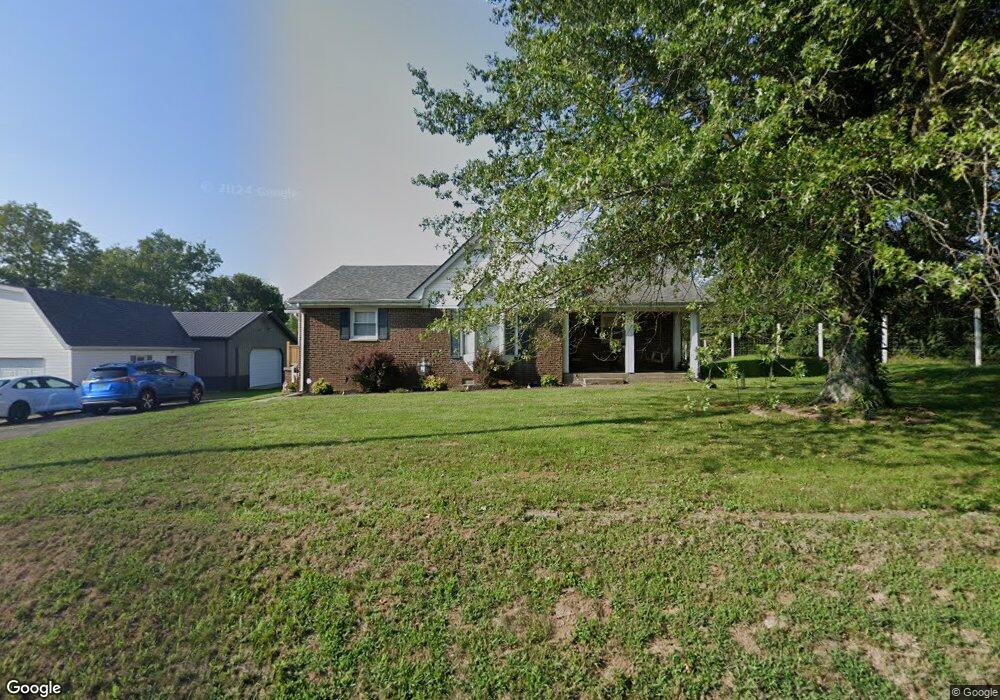
295 Mcafee Ln Salvisa, KY 40372
Estimated Value: $229,321 - $294,000
3
Beds
2
Baths
1,344
Sq Ft
$192/Sq Ft
Est. Value
About This Home
This home is located at 295 Mcafee Ln, Salvisa, KY 40372 and is currently estimated at $257,580, approximately $191 per square foot. 295 Mcafee Ln is a home located in Mercer County with nearby schools including Mercer County Elementary School, Mercer County Intermediate School, and King Middle School.
Ownership History
Date
Name
Owned For
Owner Type
Purchase Details
Closed on
Nov 3, 2014
Sold by
Edmondson William Todd
Bought by
Edmondson Hannah R
Current Estimated Value
Home Financials for this Owner
Home Financials are based on the most recent Mortgage that was taken out on this home.
Original Mortgage
$115,306
Outstanding Balance
$89,168
Interest Rate
4.26%
Mortgage Type
New Conventional
Estimated Equity
$168,412
Create a Home Valuation Report for This Property
The Home Valuation Report is an in-depth analysis detailing your home's value as well as a comparison with similar homes in the area
Home Values in the Area
Average Home Value in this Area
Purchase History
| Date | Buyer | Sale Price | Title Company |
|---|---|---|---|
| Edmondson Hannah R | $113,000 | -- |
Source: Public Records
Mortgage History
| Date | Status | Borrower | Loan Amount |
|---|---|---|---|
| Open | Edmondson Hannah R | $115,306 |
Source: Public Records
Tax History Compared to Growth
Tax History
| Year | Tax Paid | Tax Assessment Tax Assessment Total Assessment is a certain percentage of the fair market value that is determined by local assessors to be the total taxable value of land and additions on the property. | Land | Improvement |
|---|---|---|---|---|
| 2024 | $1,953 | $163,400 | $10,000 | $153,400 |
| 2023 | $1,971 | $163,400 | $0 | $0 |
| 2022 | $1,930 | $163,400 | $0 | $0 |
| 2021 | $1,943 | $163,400 | $0 | $0 |
| 2020 | $1,622 | $137,000 | $10,000 | $127,000 |
| 2019 | $1,647 | $137,000 | $10,000 | $127,000 |
| 2018 | $1,610 | $137,000 | $0 | $0 |
| 2017 | $1,555 | $137,000 | $0 | $0 |
| 2016 | $1,526 | $137,000 | $0 | $0 |
| 2015 | $1,484 | $137,000 | $10,000 | $127,000 |
| 2014 | $1,484 | $137,000 | $0 | $0 |
| 2010 | -- | $131,293 | $10,000 | $121,293 |
Source: Public Records
Map
Nearby Homes
- 110 Station Dr
- 4560 Louisville Rd
- 143 Providence Rd
- 236 Main St
- 3062 Louisville Rd
- 2 Kirkwood Rd
- 3 Kirkwood Rd
- 4 Kirkwood Rd
- Tract 3 Cole Rd
- Tract 3a Cole Rd
- 5400 Louisville Rd
- 110 Gracelynn Cir
- 151 Man-O-war Dr
- 155 Man-O-war Dr
- 2309 Oregon Rd
- 127 Man-O-war Dr
- 125 Talmage-Mayo Rd
- 3890 Oregon Rd
- 53 Bondville Rd
- 280 Talmage Mayo Rd
- 335 Mcafee Ln
- 275 Mcafee Ln
- 276 Mcafee Ln
- 250 Mcafee Ln
- 236 Mcafee Ln
- 355 Mcafee Ln
- 224 Mcafee Ln
- 210 Mcafee Ln
- 310 Mcafee Ln
- 145 Christina Dr
- 190 Mcafee Ln
- 179 Mcafee Ln
- 179 Mcafee Ln Unit 513
- 3949 Louisville Rd
- 155 Christina Dr
- 176 Mcafee Ln
- 346 Mcafee Ln
- 160 Mcafee Ln
- 105 Mcafee Ln
- 169 Christina Dr