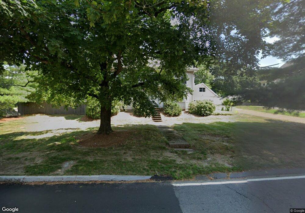
295 Plimpton St Walpole, MA 02081
Estimated Value: $675,416 - $800,000
4
Beds
2
Baths
1,694
Sq Ft
$431/Sq Ft
Est. Value
About This Home
This home is located at 295 Plimpton St, Walpole, MA 02081 and is currently estimated at $730,354, approximately $431 per square foot. 295 Plimpton St is a home located in Norfolk County with nearby schools including Old Post Road School, Walpole Middle School, and Walpole High School.
Ownership History
Date
Name
Owned For
Owner Type
Purchase Details
Closed on
Dec 28, 2023
Sold by
Putnam Jeanne A
Bought by
Putnam Rt and Putnam
Current Estimated Value
Purchase Details
Closed on
May 25, 1994
Sold by
Walsh Aidan G and Walsh Mary T
Bought by
Putnam Christian A and Putnam Jeanne A
Purchase Details
Closed on
May 29, 1990
Sold by
Horelick Kenyon R
Bought by
Walsh Aidan G
Create a Home Valuation Report for This Property
The Home Valuation Report is an in-depth analysis detailing your home's value as well as a comparison with similar homes in the area
Home Values in the Area
Average Home Value in this Area
Purchase History
| Date | Buyer | Sale Price | Title Company |
|---|---|---|---|
| Putnam Rt | -- | None Available | |
| Putnam Christian A | $166,000 | -- | |
| Putnam Christian A | $166,000 | -- | |
| Walsh Aidan G | $158,000 | -- | |
| Walsh Aidan G | $158,000 | -- |
Source: Public Records
Mortgage History
| Date | Status | Borrower | Loan Amount |
|---|---|---|---|
| Previous Owner | Walsh Aidan G | $153,000 | |
| Previous Owner | Walsh Aidan G | $144,000 | |
| Previous Owner | Walsh Aidan G | $144,000 |
Source: Public Records
Tax History Compared to Growth
Tax History
| Year | Tax Paid | Tax Assessment Tax Assessment Total Assessment is a certain percentage of the fair market value that is determined by local assessors to be the total taxable value of land and additions on the property. | Land | Improvement |
|---|---|---|---|---|
| 2025 | $7,405 | $577,200 | $281,100 | $296,100 |
| 2024 | $7,174 | $542,700 | $270,300 | $272,400 |
| 2023 | $6,964 | $501,400 | $235,100 | $266,300 |
| 2022 | $6,539 | $452,200 | $217,700 | $234,500 |
| 2021 | $6,224 | $419,400 | $205,500 | $213,900 |
| 2020 | $6,050 | $403,600 | $183,700 | $219,900 |
| 2019 | $5,768 | $382,000 | $176,600 | $205,400 |
| 2018 | $5,308 | $347,600 | $160,800 | $186,800 |
| 2017 | $5,116 | $333,700 | $154,600 | $179,100 |
| 2016 | $4,951 | $318,200 | $158,000 | $160,200 |
| 2015 | $4,550 | $289,800 | $133,800 | $156,000 |
| 2014 | $4,314 | $273,700 | $133,800 | $139,900 |
Source: Public Records
Map
Nearby Homes
- 291 Plimpton St
- 66 Gould St
- 634 Main St Unit 14
- 21 Spear Ave
- 22 Coolidge Rd
- 4403 Pennington Dr Unit 4403
- 363 - 367 Washington St
- 486 Washington St
- 2 Alexandra Way
- 7 Washington Green
- 19 and 23 Arlington Ln
- 8 Rainbow Pond Dr Unit 8
- 224 School St Unit 10
- 4 Lost Brook Trail
- 103 Centre Ln
- 305 Centre Ln
- 531 Walpole St
- 52 Baker St
- 20 Rockhill St
- 11 Park Ln