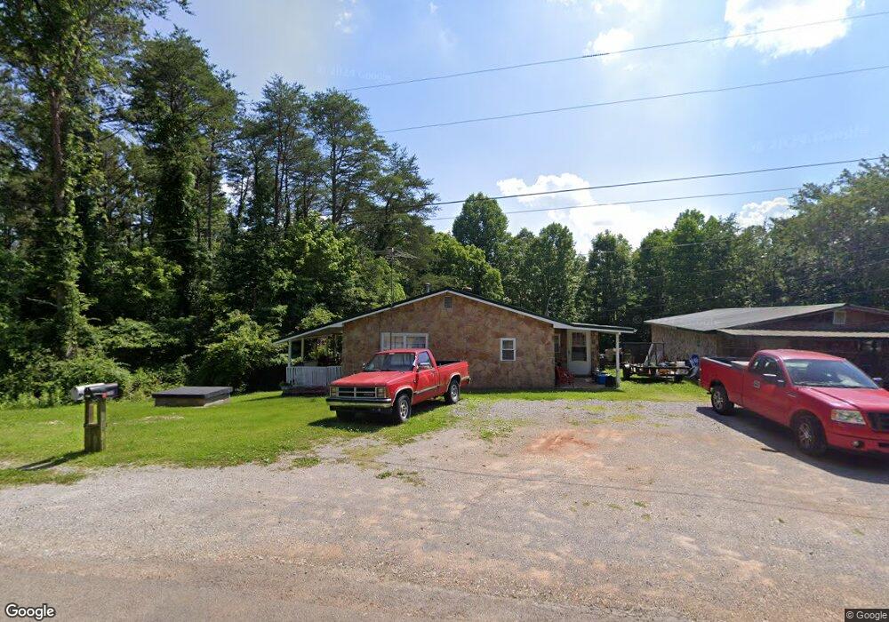
295 Roddy Rd Spring City, TN 37381
Estimated Value: $126,000 - $283,000
Studio
1
Bath
1,213
Sq Ft
$180/Sq Ft
Est. Value
About This Home
This home is located at 295 Roddy Rd, Spring City, TN 37381 and is currently estimated at $218,431, approximately $180 per square foot. 295 Roddy Rd is a home located in Rhea County with nearby schools including Rhea County High School.
Ownership History
Date
Name
Owned For
Owner Type
Purchase Details
Closed on
Feb 17, 2016
Sold by
Cox Wanda Lucille Trew
Bought by
Cox Oliver R and Cox Wanda L
Current Estimated Value
Home Financials for this Owner
Home Financials are based on the most recent Mortgage that was taken out on this home.
Original Mortgage
$120,000
Outstanding Balance
$117,867
Interest Rate
4%
Mortgage Type
Reverse Mortgage Home Equity Conversion Mortgage
Estimated Equity
$100,564
Purchase Details
Closed on
Feb 14, 1994
Sold by
Mary Kelly
Bought by
Wanda Cox
Purchase Details
Closed on
Nov 3, 1973
Bought by
Trew Richard and Trew Mary F
Create a Home Valuation Report for This Property
The Home Valuation Report is an in-depth analysis detailing your home's value as well as a comparison with similar homes in the area
Home Values in the Area
Average Home Value in this Area
Purchase History
| Date | Buyer | Sale Price | Title Company |
|---|---|---|---|
| Cox Oliver R | -- | -- | |
| Wanda Cox | $1,000 | -- | |
| Trew Richard | -- | -- |
Source: Public Records
Mortgage History
| Date | Status | Borrower | Loan Amount |
|---|---|---|---|
| Open | Cox Oliver R | $120,000 |
Source: Public Records
Tax History
| Year | Tax Paid | Tax Assessment Tax Assessment Total Assessment is a certain percentage of the fair market value that is determined by local assessors to be the total taxable value of land and additions on the property. | Land | Improvement |
|---|---|---|---|---|
| 2025 | $398 | $29,500 | $3,750 | $25,750 |
| 2024 | $398 | $29,525 | $3,750 | $25,775 |
| 2023 | $296 | $13,125 | $2,875 | $10,250 |
| 2022 | $296 | $13,125 | $2,875 | $10,250 |
| 2021 | $296 | $13,125 | $2,875 | $10,250 |
| 2020 | $296 | $13,125 | $2,875 | $10,250 |
| 2019 | $294 | $13,125 | $2,875 | $10,250 |
| 2018 | $281 | $12,800 | $2,875 | $9,925 |
| 2017 | $281 | $12,800 | $2,875 | $9,925 |
| 2016 | $281 | $12,800 | $2,875 | $9,925 |
| 2015 | $268 | $12,800 | $2,875 | $9,925 |
| 2014 | $257 | $12,800 | $2,875 | $9,925 |
| 2013 | -- | $12,275 | $2,875 | $9,400 |
Source: Public Records
Map
Nearby Homes
- Lot 13/14 Clifton Cemetery Rd
- 0 Vista Ridge Ct Unit 1264309
- 0 Vista Ridge Ct Unit RTC3015802
- 125 Mallard Duck Ln
- 647 Omega Dr
- 0 Eagle Point Dr Unit 20253902
- 0 Eagle Point Dr Unit 1290201
- 0 Eagle Point Dr Unit 1320039
- Lot 543 Rockview Dr
- LOT 22 Twin Feathers Dr
- 0 Eagle Point Drive Lot 8
- 00 Eagle Point Drive Lot 8
- 0 Sunset Ct
- 0 Fawnwood Dr Unit 1528640
- 336-342 Omega Dr
- 373-375 Beta Dr
- 539 Apollo Dr
- 484 Apollo Dr
- 0
- 0 Possum Trot Road - Tract 6
Your Personal Tour Guide
Ask me questions while you tour the home.