295 Savage Rd Milford, NH 03055
Estimated Value: $660,000 - $885,507
4
Beds
4
Baths
2,976
Sq Ft
$257/Sq Ft
Est. Value
About This Home
This home is located at 295 Savage Rd, Milford, NH 03055 and is currently estimated at $765,627, approximately $257 per square foot. 295 Savage Rd is a home with nearby schools including Jacques Memorial Elementary School, Heron Pond Elementary School, and Milford Middle School.
Ownership History
Date
Name
Owned For
Owner Type
Purchase Details
Closed on
Nov 22, 2002
Sold by
Farnsworth Beverly M
Bought by
Philbrick Robert D and Philbrick Lisa W
Current Estimated Value
Create a Home Valuation Report for This Property
The Home Valuation Report is an in-depth analysis detailing your home's value as well as a comparison with similar homes in the area
Home Values in the Area
Average Home Value in this Area
Purchase History
| Date | Buyer | Sale Price | Title Company |
|---|---|---|---|
| Philbrick Robert D | $200,000 | -- |
Source: Public Records
Mortgage History
| Date | Status | Borrower | Loan Amount |
|---|---|---|---|
| Open | Philbrick Robert D | $145,000 | |
| Closed | Philbrick Robert D | $142,295 | |
| Closed | Philbrick Robert D | $86,502 |
Source: Public Records
Tax History Compared to Growth
Tax History
| Year | Tax Paid | Tax Assessment Tax Assessment Total Assessment is a certain percentage of the fair market value that is determined by local assessors to be the total taxable value of land and additions on the property. | Land | Improvement |
|---|---|---|---|---|
| 2024 | $13,417 | $566,842 | $99,042 | $467,800 |
| 2023 | $12,567 | $566,842 | $99,042 | $467,800 |
| 2022 | $11,828 | $568,943 | $101,143 | $467,800 |
| 2021 | $11,477 | $569,590 | $101,790 | $467,800 |
| 2020 | $11,160 | $439,882 | $77,082 | $362,800 |
| 2019 | $11,424 | $439,882 | $77,082 | $362,800 |
| 2018 | $10,721 | $362,118 | $76,318 | $285,800 |
| 2017 | $5,320 | $362,118 | $76,318 | $285,800 |
| 2016 | $10,487 | $362,118 | $76,318 | $285,800 |
| 2015 | $11,403 | $399,273 | $76,773 | $322,500 |
| 2014 | $10,900 | $399,273 | $76,773 | $322,500 |
| 2013 | $10,273 | $380,900 | $77,000 | $303,900 |
Source: Public Records
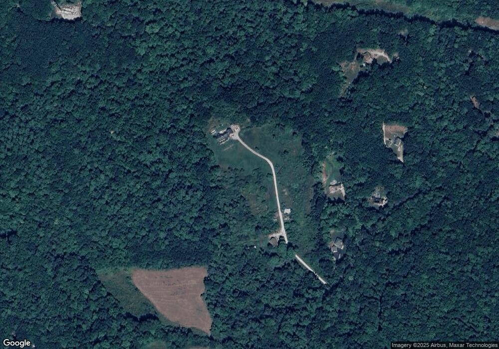
Map
Nearby Homes
- Lot F-88-9 Aria Hill Dr
- F-88-7 Aria Hill Dr
- F-88-12 Aria Hill Dr
- F-88-11 Aria Hill Dr
- F-88-10 Aria Hill Dr
- 415 Savage Rd
- 134 Falcon Ridge Rd Unit 23
- 55 Abbot Hill Rd
- 545 Elm St Unit 34
- 18 Richfield Way
- 8 Maple St
- 294 Mason Rd
- 30 Robbins Rd
- 25 Burns Hill Rd
- 44 Burns Hill Rd
- 43 Boxwood Cir
- 344 Elm St Unit 14
- 344 Elm St Unit 16
- 32 Larch Rd
- 145 Westchester Dr
- 277 Savage Rd
- 275 Savage Rd
- 273 Savage Rd
- 261 Savage Rd
- 241 Savage Rd
- 10-8 Savage Rd
- 10-21-1 Savage Rd
- 235 Savage Rd
- 333 Savage Rd
- 227 Savage Rd
- 151 McGettigan Rd
- 221 Savage Rd
- 326 Savage Rd
- 201 Savage Rd
- 149 McGettigan Rd
- 169 McGettigan Rd
- 362 Savage Rd
- 199 Savage Rd
- 155 McGettigan Rd
- 214 McGettigan Rd