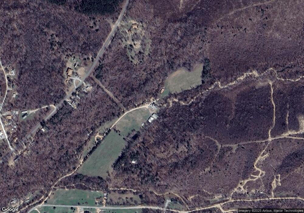
295 Warbler Ln Linden, TN 37096
Estimated Value: $250,000 - $449,000
--
Bed
1
Bath
1,355
Sq Ft
$273/Sq Ft
Est. Value
About This Home
This home is located at 295 Warbler Ln, Linden, TN 37096 and is currently estimated at $370,447, approximately $273 per square foot. 295 Warbler Ln is a home located in Perry County.
Ownership History
Date
Name
Owned For
Owner Type
Purchase Details
Closed on
Oct 9, 2025
Sold by
Friedberg Rhonda
Bought by
Rolig Marta
Current Estimated Value
Purchase Details
Closed on
Jan 16, 2002
Bought by
Rolig Rhonda L
Purchase Details
Closed on
Jul 21, 1998
Bought by
Rolig Mary Kay and Rolig Rhonda Lynn
Purchase Details
Closed on
May 25, 1998
Bought by
Rolig Mary Kay
Purchase Details
Closed on
Mar 1, 1988
Bought by
Ernest Tony C and Rolig Mary C
Purchase Details
Closed on
May 9, 1985
Bought by
Rolig Kevin Sean
Create a Home Valuation Report for This Property
The Home Valuation Report is an in-depth analysis detailing your home's value as well as a comparison with similar homes in the area
Home Values in the Area
Average Home Value in this Area
Purchase History
| Date | Buyer | Sale Price | Title Company |
|---|---|---|---|
| Rolig Marta | -- | None Listed On Document | |
| Rolig Rhonda L | -- | -- | |
| Rolig Mary Kay | -- | -- | |
| Rolig Mary Kay | -- | -- | |
| Ernest Tony C | -- | -- | |
| Rolig Kevin Sean | -- | -- |
Source: Public Records
Tax History Compared to Growth
Tax History
| Year | Tax Paid | Tax Assessment Tax Assessment Total Assessment is a certain percentage of the fair market value that is determined by local assessors to be the total taxable value of land and additions on the property. | Land | Improvement |
|---|---|---|---|---|
| 2025 | $1,642 | $71,500 | $0 | $0 |
| 2024 | $1,642 | $71,500 | $17,425 | $54,075 |
| 2023 | $0 | $71,500 | $17,425 | $54,075 |
| 2022 | $1,642 | $71,500 | $17,425 | $54,075 |
| 2021 | $1,593 | $69,350 | $17,425 | $51,925 |
| 2020 | $1,593 | $69,350 | $17,425 | $51,925 |
| 2019 | $2,229 | $89,875 | $38,625 | $51,250 |
| 2018 | $2,229 | $89,875 | $38,625 | $51,250 |
| 2017 | $2,202 | $89,875 | $38,625 | $51,250 |
| 2016 | $2,202 | $89,875 | $38,625 | $51,250 |
| 2015 | $2,159 | $89,875 | $38,625 | $51,250 |
| 2014 | $2,159 | $89,875 | $38,625 | $51,250 |
| 2013 | $1,794 | $74,699 | $0 | $0 |
Source: Public Records
Map
Nearby Homes
- 3316 Toms Creek Rd
- 123 Lower Roans Creek Rd
- 3900 Roan Creek Rd
- 0 Krebs Cir
- 102 Denson Landing Cemetery Rd
- 0 Toms Creek Rd
- 824 Driftwood Dr
- 508 Lakeside Dr
- 4428 Deer Creek Rd
- 495 Cooper Dr
- 47 Overlook Point Rd
- 4053 Deer Creek Rd
- 178 Cottage Cir
- 47 Overlook Point
- 2554 Ridgeway Dr
- LOT 14/16 Ridgeway Dr
- Lots 49 & 50 Ridgeway Dr
- 793 Ridgeway Dr
- LOTS 17 & 21 Ridgeway Dr
- Lots 17 & 21 Ridgeway Dr
- 500 Lower Roans Creek Rd
- 271 Sumac Rd
- 638 Lower Roans Creek Rd
- 329 Sumac Rd
- 485 Lower Roans Creek Rd
- 181 Sumac Rd
- 386 Lower Roans Creek Rd
- 248 Sumac Rd
- 3997 Lower Roans Creek Rd
- 1248 Lower Roans Creek Rd
- 429 Lower Roans Creek Rd
- 311 Lower Roans Creek Rd
- 54 Journey Hollow Rd
- 160 Journey Hollow Rd
- 70 Sumac Rd
- 72 Sumac Rd
- 11 Journey Hollow Rd
- 0 Lower Roans Creek Rd Unit RTC2255367
- 0 Lower Roans Creek Rd
- 43 Cardinal Hollow Rd
