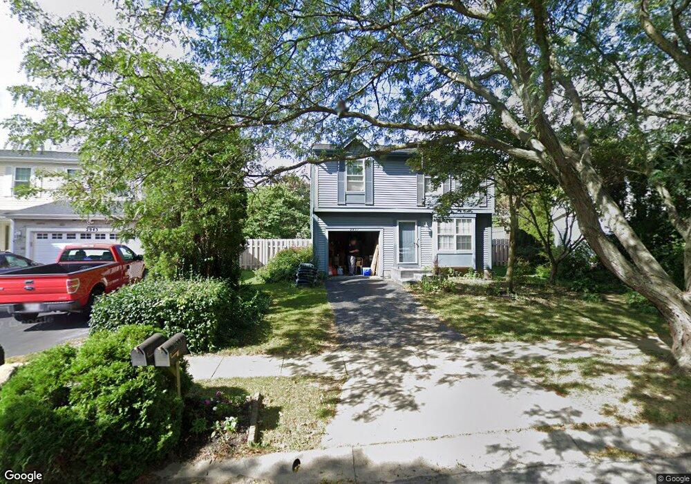
2951 Culver Dr Hilliard, OH 43026
Cross Creek NeighborhoodEstimated Value: $291,000 - $322,000
3
Beds
2
Baths
1,160
Sq Ft
$268/Sq Ft
Est. Value
About This Home
This home is located at 2951 Culver Dr, Hilliard, OH 43026 and is currently estimated at $310,709, approximately $267 per square foot. 2951 Culver Dr is a home located in Franklin County with nearby schools including Hilliard Crossing Elementary School, Hilliard Station Sixth Grade Elementary School, and Hilliard Heritage Middle School.
Ownership History
Date
Name
Owned For
Owner Type
Purchase Details
Closed on
Feb 27, 2007
Sold by
Rode Emmy M
Bought by
Joseph Jennifer and Knowles David A
Current Estimated Value
Home Financials for this Owner
Home Financials are based on the most recent Mortgage that was taken out on this home.
Original Mortgage
$137,000
Outstanding Balance
$82,970
Interest Rate
6.27%
Mortgage Type
Purchase Money Mortgage
Estimated Equity
$227,739
Purchase Details
Closed on
Oct 21, 1991
Bought by
Rode Emmy M
Create a Home Valuation Report for This Property
The Home Valuation Report is an in-depth analysis detailing your home's value as well as a comparison with similar homes in the area
Home Values in the Area
Average Home Value in this Area
Purchase History
| Date | Buyer | Sale Price | Title Company |
|---|---|---|---|
| Joseph Jennifer | $137,000 | None Available | |
| Rode Emmy M | $65,900 | -- |
Source: Public Records
Mortgage History
| Date | Status | Borrower | Loan Amount |
|---|---|---|---|
| Open | Joseph Jennifer | $137,000 |
Source: Public Records
Tax History Compared to Growth
Tax History
| Year | Tax Paid | Tax Assessment Tax Assessment Total Assessment is a certain percentage of the fair market value that is determined by local assessors to be the total taxable value of land and additions on the property. | Land | Improvement |
|---|---|---|---|---|
| 2024 | $4,960 | $87,820 | $28,880 | $58,940 |
| 2023 | $4,297 | $87,815 | $28,875 | $58,940 |
| 2022 | $3,446 | $56,390 | $14,180 | $42,210 |
| 2021 | $3,442 | $56,390 | $14,180 | $42,210 |
| 2020 | $3,433 | $56,390 | $14,180 | $42,210 |
| 2019 | $3,162 | $44,350 | $11,340 | $33,010 |
| 2018 | $3,203 | $44,350 | $11,340 | $33,010 |
| 2017 | $3,148 | $44,350 | $11,340 | $33,010 |
| 2016 | $3,225 | $42,070 | $10,920 | $31,150 |
| 2015 | $3,258 | $42,070 | $10,920 | $31,150 |
| 2014 | $3,028 | $42,070 | $10,920 | $31,150 |
| 2013 | $1,461 | $40,075 | $10,395 | $29,680 |
Source: Public Records
Map
Nearby Homes
- 4995 Singleton Dr
- 4995 Singleton Dr Unit 18c
- 2759 Lyndley Ct
- 4976 Shady Oak Dr
- 4888 Silver Bow Dr
- 4843 Stoneybrook Blvd Unit 30E
- 5052 Bressler Dr
- 4857 Stoneybrook Blvd Unit 29E
- 3111 Castlebrook Ave
- 4862 Stoneybrook Blvd Unit 24E
- 2673 Bramble Dr
- 5041 Stoneybrook Blvd Unit 9E
- 5053 Stoneybrook Blvd
- 5258 Skytrail Dr
- 5112 Bressler Dr
- 5080 Stoneybrook Blvd Unit 2D
- 5062 Stoneybrook Blvd Unit 3F
- 5285 Redlands Dr
- 5208 Springdale Blvd
- 5215 Bressler Dr