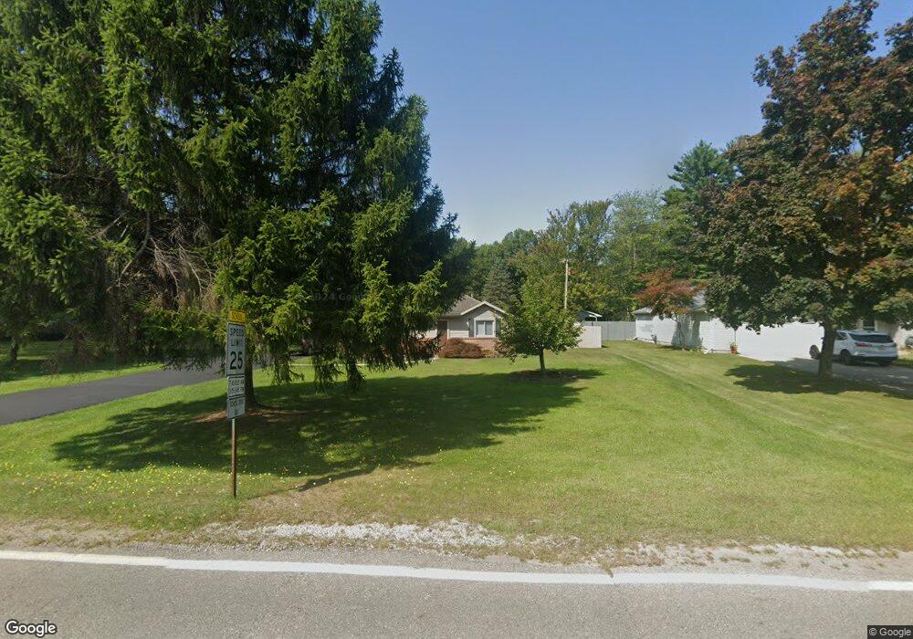
2951 Michigan Rd Port Huron, MI 48060
Estimated Value: $222,657 - $268,000
3
Beds
2
Baths
1,483
Sq Ft
$164/Sq Ft
Est. Value
About This Home
This home is located at 2951 Michigan Rd, Port Huron, MI 48060 and is currently estimated at $243,414, approximately $164 per square foot. 2951 Michigan Rd is a home located in St. Clair County with nearby schools including Michigamme Elementary School, Central Middle School, and Port Huron High School.
Ownership History
Date
Name
Owned For
Owner Type
Purchase Details
Closed on
Oct 23, 2008
Sold by
Wolfe Christopher L and Wolfe Stephanie R
Bought by
Hsbc Mortgage Services Inc
Current Estimated Value
Purchase Details
Closed on
Aug 7, 2006
Sold by
Jones Sarah Ann and Jones Sarah A
Bought by
Wolfe Christopher L and Wolfe Stephanie R
Home Financials for this Owner
Home Financials are based on the most recent Mortgage that was taken out on this home.
Original Mortgage
$160,000
Interest Rate
9.24%
Mortgage Type
Adjustable Rate Mortgage/ARM
Create a Home Valuation Report for This Property
The Home Valuation Report is an in-depth analysis detailing your home's value as well as a comparison with similar homes in the area
Home Values in the Area
Average Home Value in this Area
Purchase History
| Date | Buyer | Sale Price | Title Company |
|---|---|---|---|
| Hsbc Mortgage Services Inc | $76,348 | None Available | |
| Wolfe Christopher L | $160,000 | Huron Title Company |
Source: Public Records
Mortgage History
| Date | Status | Borrower | Loan Amount |
|---|---|---|---|
| Previous Owner | Wolfe Christopher L | $160,000 |
Source: Public Records
Tax History Compared to Growth
Tax History
| Year | Tax Paid | Tax Assessment Tax Assessment Total Assessment is a certain percentage of the fair market value that is determined by local assessors to be the total taxable value of land and additions on the property. | Land | Improvement |
|---|---|---|---|---|
| 2025 | $2,070 | $95,400 | $0 | $0 |
| 2024 | $1,089 | $97,000 | $0 | $0 |
| 2023 | $1,005 | $86,500 | $0 | $0 |
| 2022 | $1,857 | $81,200 | $0 | $0 |
| 2021 | $1,700 | $76,300 | $0 | $0 |
| 2020 | $1,700 | $65,400 | $65,400 | $0 |
| 2019 | $1,669 | $59,800 | $0 | $0 |
| 2018 | $1,629 | $59,800 | $0 | $0 |
| 2017 | $1,593 | $56,700 | $0 | $0 |
| 2016 | $825 | $56,700 | $0 | $0 |
| 2015 | -- | $47,200 | $47,200 | $0 |
| 2014 | -- | $47,500 | $47,500 | $0 |
| 2013 | -- | $46,400 | $0 | $0 |
Source: Public Records
Map
Nearby Homes
- 0000 W Water St
- 2863 Beach Rd
- 2940 Westland Dr
- 3152 Spruce Dr
- 3115 Spruce Dr
- 3408 N Burwick Dr
- 4224 Atkins Rd
- 3345 Beach Rd
- 3335 W Water St
- 3409 Ancient Dr
- 4380 Lapeer Rd
- 2475 Sharon Ln
- 4361 Peck Rd
- 3230 Range Rd
- 3228 Turnberry
- 4608 Huntington Dr
- 00 Parker Rd
- 3971 N River Rd
- 2566 Lewis Dr
- 3993 N River Rd
- 2961 Michigan Rd
- 2931 Michigan Rd
- 2971 Michigan Rd
- 2962 Michigan Rd
- 2952 Michigan Rd
- 2950 Michigan Rd
- 2921 Michigan Rd
- 2932 Michigan Rd
- 2974 Michigan Rd
- 4017 W Water St
- 2930 Michigan Rd
- 4029 W Water St
- 2920 Michigan Rd
- 2915 Michigan Rd
- 3973 W Water St
- 2916 Michigan Rd
- 3975 W Water St
- 4061 W Water St
- 4041 W Water St
- 2901 Michigan Rd