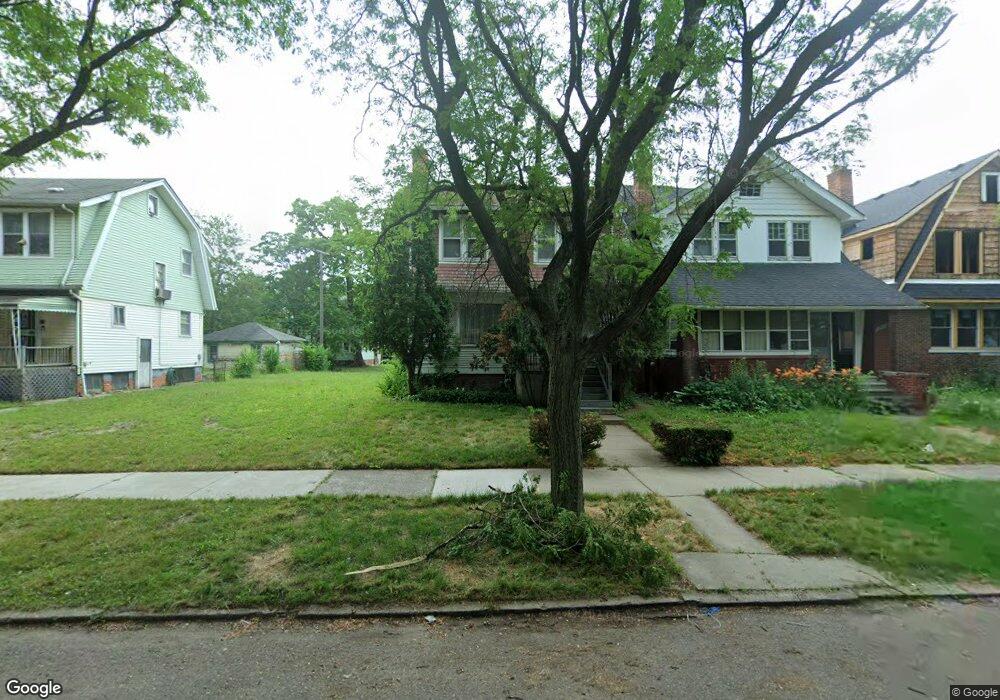
2953 Carter St Detroit, MI 48206
Jamison NeighborhoodEstimated Value: $79,952 - $114,000
--
Bed
3
Baths
1,448
Sq Ft
$68/Sq Ft
Est. Value
About This Home
This home is located at 2953 Carter St, Detroit, MI 48206 and is currently estimated at $98,988, approximately $68 per square foot. 2953 Carter St is a home located in Wayne County with nearby schools including Charles L. Spain Elementary-Middle School, Edward 'Duke' Ellington Conservatory of Music and Art, and Northwestern High School.
Ownership History
Date
Name
Owned For
Owner Type
Purchase Details
Closed on
Nov 8, 2024
Sold by
Wayne County Treasurer
Bought by
Detroit Land Bank Authority
Current Estimated Value
Purchase Details
Closed on
Aug 6, 2021
Sold by
Thomas Rhonda
Bought by
Kennedy Brian
Purchase Details
Closed on
Nov 23, 2020
Sold by
United Community Housing Coalition
Bought by
Thomas Rhonda
Purchase Details
Closed on
Feb 12, 2019
Sold by
City Of Detroit
Bought by
United Community Housing Coalition
Purchase Details
Closed on
Oct 22, 2018
Sold by
Wayne Cunty Treasurer
Bought by
City Of Detroit Planning And Developmet
Create a Home Valuation Report for This Property
The Home Valuation Report is an in-depth analysis detailing your home's value as well as a comparison with similar homes in the area
Home Values in the Area
Average Home Value in this Area
Purchase History
| Date | Buyer | Sale Price | Title Company |
|---|---|---|---|
| Detroit Land Bank Authority | -- | None Listed On Document | |
| Kennedy Brian | -- | None Available | |
| Thomas Rhonda | $3,000 | None Available | |
| United Community Housing Coalition | $158,725 | None Available | |
| City Of Detroit Planning And Developmet | $2,027 | None Available |
Source: Public Records
Tax History Compared to Growth
Tax History
| Year | Tax Paid | Tax Assessment Tax Assessment Total Assessment is a certain percentage of the fair market value that is determined by local assessors to be the total taxable value of land and additions on the property. | Land | Improvement |
|---|---|---|---|---|
| 2025 | $1,279 | $28,500 | $0 | $0 |
| 2024 | $1,279 | $23,500 | $0 | $0 |
| 2023 | $1,242 | $19,100 | $0 | $0 |
| 2022 | $1,324 | $15,600 | $0 | $0 |
| 2021 | $1,448 | $12,000 | $0 | $0 |
| 2020 | $1,514 | $14,400 | $0 | $0 |
| 2019 | $0 | $0 | $0 | $0 |
| 2018 | $763 | $8,900 | $0 | $0 |
| 2017 | $171 | $9,000 | $0 | $0 |
| 2016 | $936 | $28,600 | $0 | $0 |
| 2015 | $980 | $13,400 | $0 | $0 |
| 2013 | $949 | $18,595 | $0 | $0 |
| 2010 | -- | $26,643 | $629 | $26,014 |
Source: Public Records
Map
Nearby Homes
- 2955 Blaine St
- 3021 Carter St
- 3007 W Philadelphia St
- 2987 Gladstone St
- 2730 W Philadelphia St
- 3254 W Philadelphia St
- 2916 Gladstone St
- 2981 W Euclid St
- 2921 W Euclid St
- 2688 W Philadelphia St
- 2934 Virginia Park St
- 3272 W Euclid St
- 3254 Hazelwood St
- 3297 Hazelwood St
- 2930 Taylor St
- 2678 Hazelwood St
- 9021 Lawton St
- 8625 Dexter Ave
- 9031 Lawton St
- 9033 Lawton St